Hiking & Mountain Tours
Long-distance hike (5 stages or more)
The Inntaler Höhenweg Trail
Difficult
73,00 km
5283 m
Description
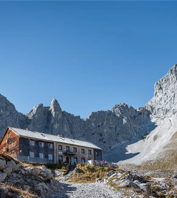
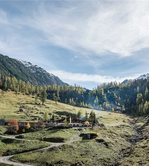
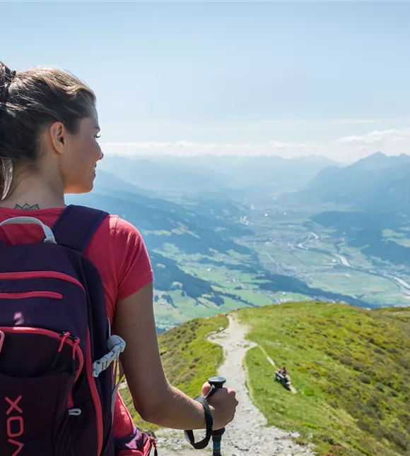
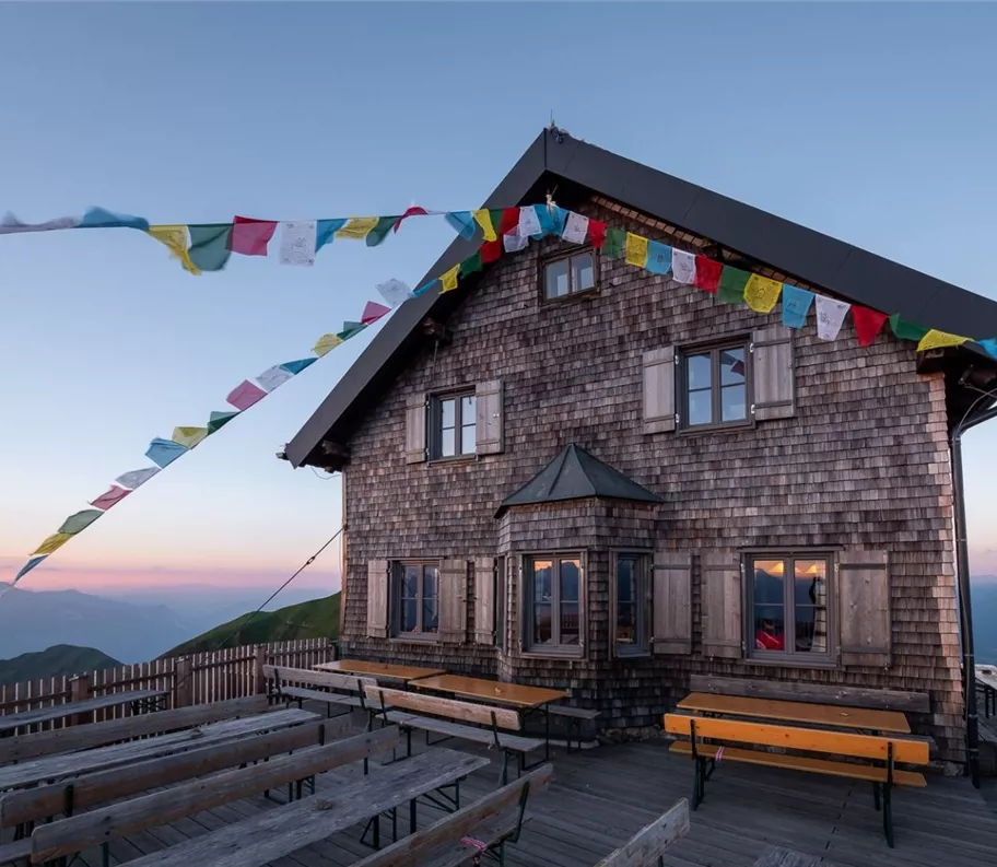
From Innsbruck/Igls/Patscherkofelbahn-Berg, the trail traverses via Patscherkofel on the Zirbenweg to the Glungezer Hütte (2610m), on the "Glungezer & Geier" ridge route via the 7TS - "seven TuXer summits" - to the Lizumer Hütte (2019m). From here the "Inntåler" follows the Central Alpine Trail 02A via Grafennsjoch to the Weidener Hütte, from there via Nurpensjoch to the Rastkogelhütte (2117m), after Hochfügen and via Loassattel to the Kellerjoch hut, with descent to Schwaz.
The "Inntåler" runs through the Patscherkofel - Zirmberg - Viggartal - Glungezer nature reserve, above the Blue Lakes, touches Voldertal, Navistal, Wattental, Nafing and Nurpenstal, Sidantal and Finsinggrund.
The "Inntåler" runs through the Patscherkofel - Zirmberg - Viggartal - Glungezer nature reserve, above the Blue Lakes, touches Voldertal, Navistal, Wattental, Nafing and Nurpenstal, Sidantal and Finsinggrund.
Elevation profile & characteristics
Equipment
Good footwear, rain protection, sun protection
Trail conditions
The trail in the Karwendel silver region is a continuous hiking trail (partly steep, rocky)