Hiking & Mountain Tours
Circular walk along the Schutzwaldsteig trail at Kellerjoch
Medium
9,60 km
630 m
04:30 h
Description
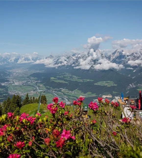
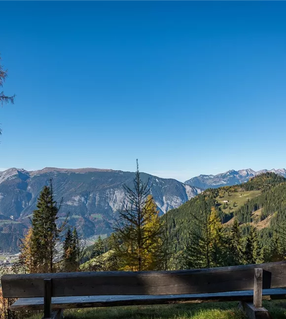
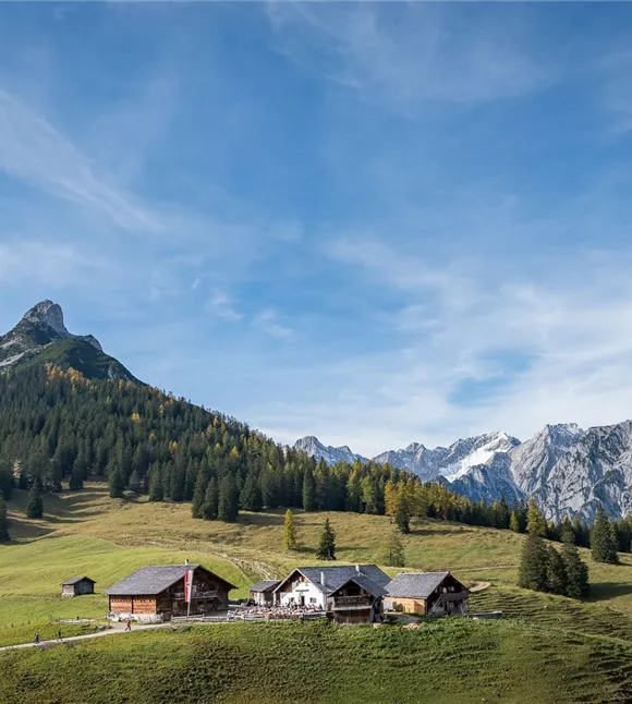
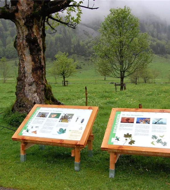
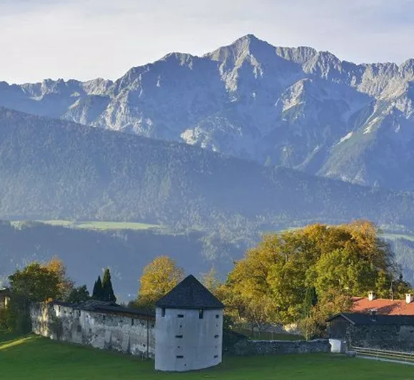
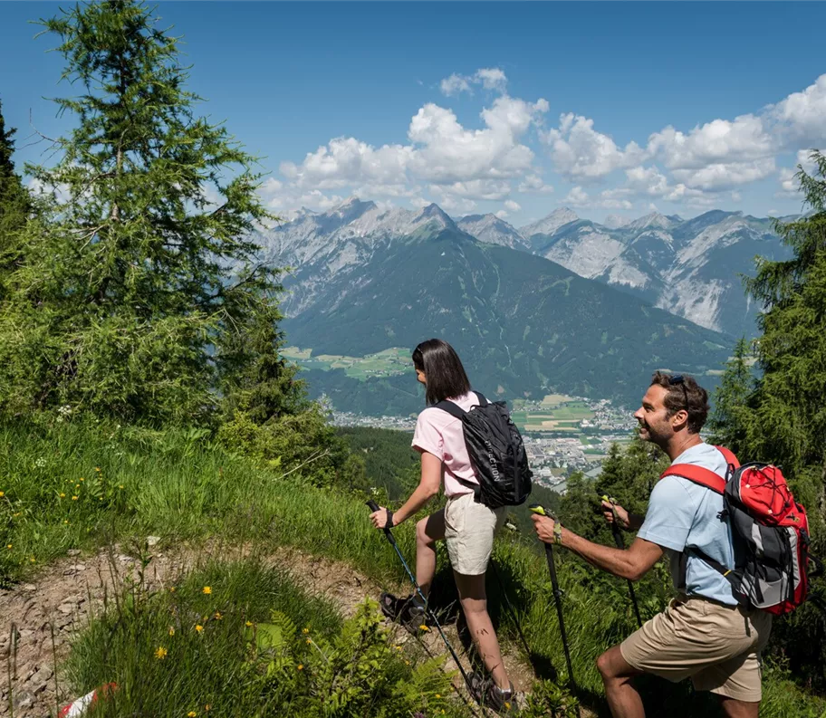
The highest of these, the Larcheggsteig, is designed as an educational trail, with information boards at various points along the way that clearly explain the importance of the high-altitude forest and forest conservation. The views across to the jagged peaks of the Karwendel are no less interesting, however.
Best season
January
February
March
April
May
June
July
August
September
October
November
December
Elevation profile & characteristics
Technology
condition
Features
Circular walk
Parking
Paid parking lot at the Kellerjoch car park
Equipment
- Sturdy footwear
- Rainwear/sun protection
- Plenty of drinking water/snacks
Public transport
Train to Schwaz station - regional bus 8 to the bus stop Hotel Frieden
You can find the bus timetables at www.smartride.vvt.at
You can find the bus timetables at www.smartride.vvt.at
Instructions
Route description:
- From Grafenast, follow the old Kellerjochweg trail, mostly alongside the ski slope, up to the Hecherhaus
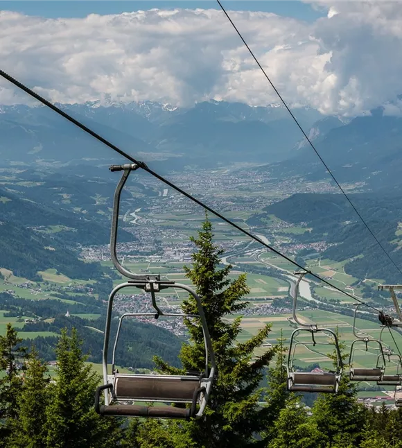
- If you take the Kellerjochbahn cable car for the ‘ascent’ to the Hecherhaus, the walk will take a good hour less
- Just below the mountain station, the Larcheggsteig trail branches off to the left into the steep wooded slope
- The themed trail leads past several numbered stations, gently downhill to the Proxenalm
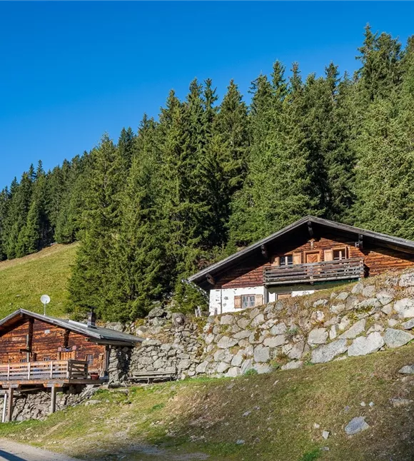
- At the alpine huts, do not continue along the wide path but head straight left across the meadows down to the Hageggweg
- Turn left there again, following the slope with
Trail conditions
Partly forest track and partly footpath