Hiking & Mountain Tours
Leisurely walking
Summit tour
The Austrian People’s Sports Association’s Permanent Trail
Kellerjoch Circuit (IVV)
Medium
4,90 km
400 m
02:45 h
Description
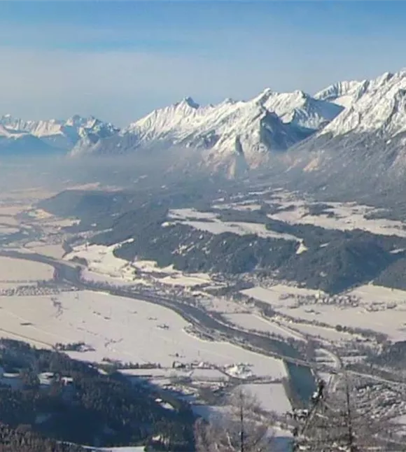
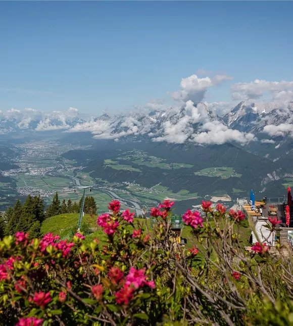
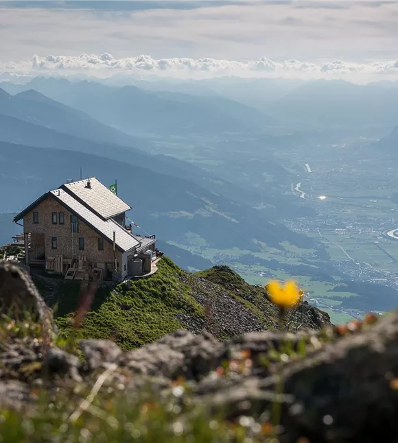
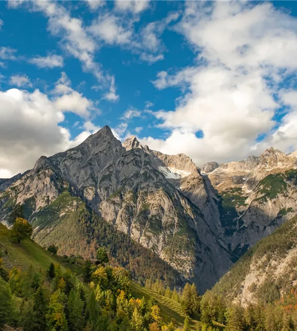
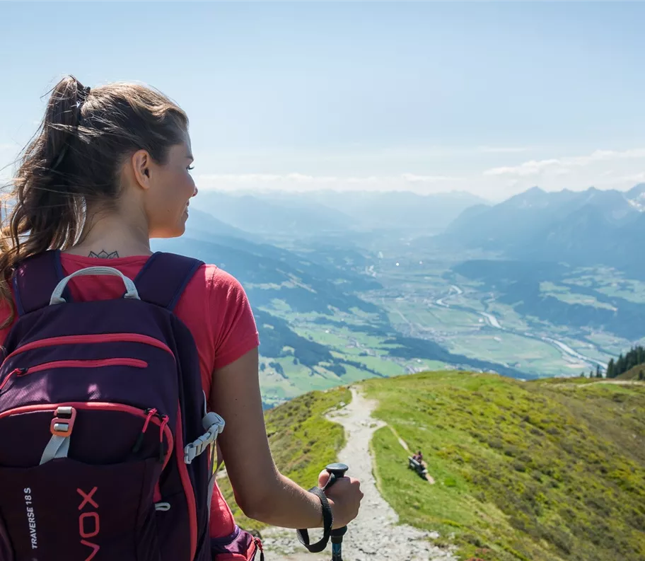
The first few metres of ascent to the Hecherhaus are covered by the Kellerjochbahn (fit hikers naturally have the option of walking to the Hecherhaus). On the route via the Arbeserkogel to the Kellerjochhütte, the view sweeps from the Großglockner to the Großvenediger and, to the north-west, takes in the Zugspitze – offering sweeping views of the most striking peaks and mountain ranges of the Eastern Alps.
Best season
January
February
March
April
May
June
July
August
September
October
November
December
Elevation profile & characteristics
Technology
condition
Features
Circular walk
Parking
Paid Kellerjochbahn car park
Equipment
- Sturdy footwear
- Rainwear/sun protection
- Plenty of drinking water/snacks
Public transport
Train to Schwaz railway station - Mountain bus to Hotel Frieden stop
Plan your route easily using the VVT Smartride app or VVT route planner.Instructions
Route:
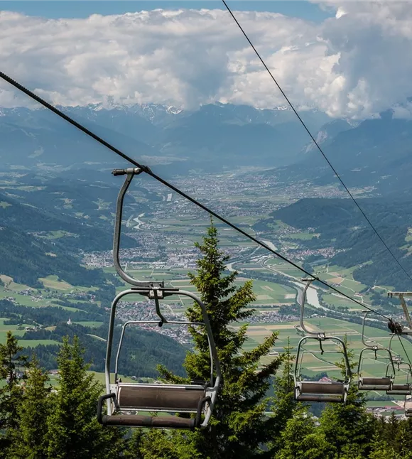
- Take the Kellerjochbahn up to the Hecherhaus (it is also possible to walk)
- From the Hecherhaus, the route follows the Kellerjochweg on a moderate incline over the Arbeserkogel to the Kellerjochhütte
- For the return journey, follow the same route as far as the junction with the crossing path.
- Then head downhill via the Naunzstand over the steep, grassy south-west slopes to the Serpentinensteig, and from there through the alpine buildings to the Naunzalm – Hochleger
- Finally, the route climbs up via the Bockstallweg back to the Hecherhaus
- Return to the car park via the Kellerjochbahn (walking route also possible)
Author's tip
This walk is part of the permanent trail network of the Austrian People’s Sports Association (ÖVV).
These are signposted walking routes that you can walk independently at any time using a starting card and route map. There are checkpoints along the way, and at the finish you’ll receive an IVV scoring stamp for each route – ideal for keeping track of your personal participation and kilometres covered, as well as for shared hiking experiences in the great outdoors. Further information is available at https://oevv-wandern.at/
These are signposted walking routes that you can walk independently at any time using a starting card and route map. There are checkpoints along the way, and at the finish you’ll receive an IVV scoring stamp for each route – ideal for keeping track of your personal participation and kilometres covered, as well as for shared hiking experiences in the great outdoors. Further information is available at https://oevv-wandern.at/
Trail conditions
Steig