Hiking & Mountain Tours
Hut & Alpine Pasture Walk
The Austrian People’s Sports Association’s Permanent Trail
From the Eng to the Lamsenjoch Cabin (IVV)
Medium
13,00 km
870 m
06:15 h
Description
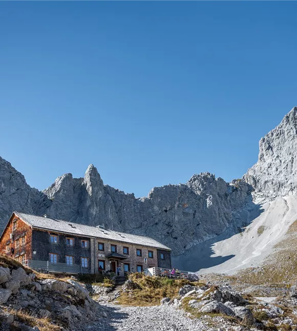
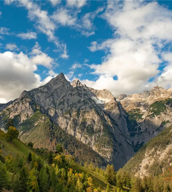
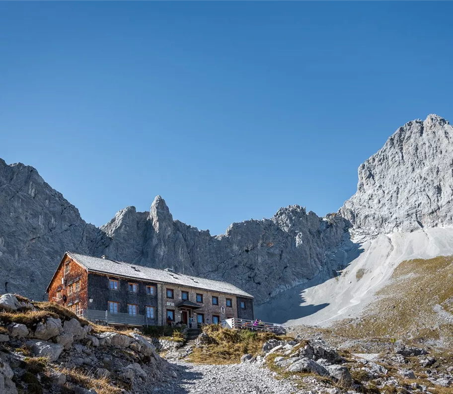
From the green alpine meadows of the Eng, the route winds its way through various vegetation zones up into the high-altitude region. There – in a unique setting, framed by jagged rock formations – the Lamsenjochhütte has stood for over a hundred years, offering not only shelter and accommodation but also hearty Tyrolean fare.
Of course, you should also allow time for a rest on the way back. The sunny viewing terrace in front of the Binsalm is a lovely spot to sit.
Of course, you should also allow time for a rest on the way back. The sunny viewing terrace in front of the Binsalm is a lovely spot to sit.
Best season
January
February
March
April
May
June
July
August
September
October
November
December
Elevation profile & characteristics
Technology
condition
Parking
By car:
• Take the A12 motorway exit for Achensee, then follow the Achensee B181 road to the Achen Pass border
• Cross the border into Bavaria (307) towards Sylvensteinsee, then turn left towards Vorderriss
• Turn left towards Hinterriss, then take the toll road to car park P10
Car park P10
• Take the A12 motorway exit for Achensee, then follow the Achensee B181 road to the Achen Pass border
• Cross the border into Bavaria (307) towards Sylvensteinsee, then turn left towards Vorderriss
• Turn left towards Hinterriss, then take the toll road to car park P10
Car park P10
Equipment
- Sturdy footwear
- Rainwear/sun protection
- Plenty of drinking water/snacks
Author's tip
This hike is a permanent trail of the Austrian Volkssport Association (ÖVV).
These are marked hiking trails that you can hike independently at any time with a start card and route map. There are checkpoints along the way, and at the finish line you will receive an IVV rating stamp for each route – ideal for personal participation and kilometre ratings as well as shared hiking experiences in nature. More information at https://oevv-wandern.at/
These are marked hiking trails that you can hike independently at any time with a start card and route map. There are checkpoints along the way, and at the finish line you will receive an IVV rating stamp for each route – ideal for personal participation and kilometre ratings as well as shared hiking experiences in nature. More information at https://oevv-wandern.at/
Trail conditions
wide forest track, footpath