Vai al contenuto
Wandern am Kellerjoch
+3

Escursioni e gite in montagna

Itinerario circolare lungo il sentiero “Schutzwaldsteig” sul Kellerjoch

Risorse

9,60 km

630 m

04:30 h

Risorse

Itinerario

9,60 km

630 m

04:30 h

1848 m

Inizio

Parcheggio della funivia Kellerjochbahn

Punto di arrivo

Parcheggio della funivia Kellerjochbahn

Strutture collegate

View from the Hecherhaus
+3

Ristorante di montagna Hecherhaus

Schwaz

proprietario

Rifugio / Ristorazione di montagna

+2

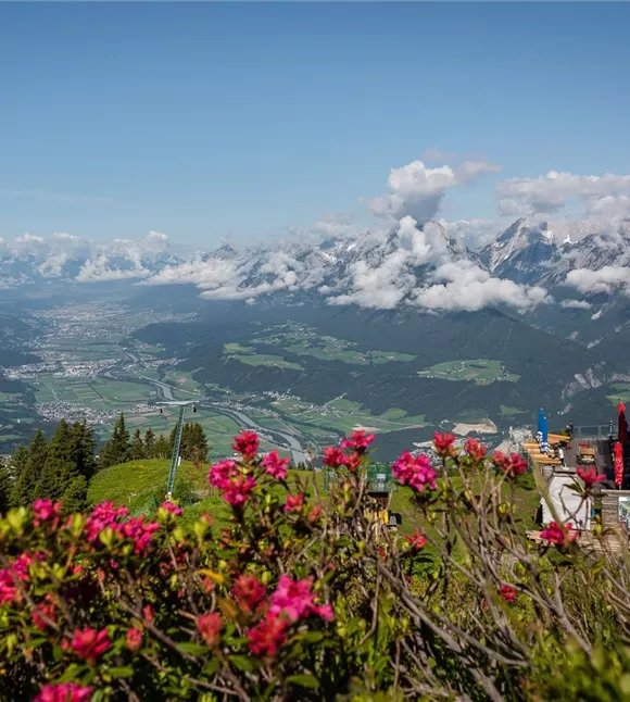
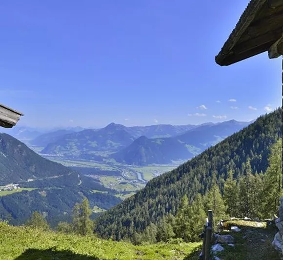
The Hecher house in theThe Hecherhaus, with its large sun terrace, is situated right next to the top station of the Kellerjochbahn and offers a stunning view over the Inn Valley and the Karwendel Mountains opposite.
Funivia del Kellerjoch
+3

La funivia del Kellerjoch in estate

Pill

Aziende partner

Funivia

+1

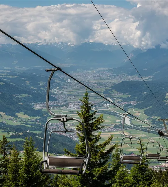
In summer, the Kellerjochbahn Lift whisks you up to almost 2,000 metres above sea level.
parkplatz-symbol-478x477_81883552.jpg

Parcheggio della funivia Kellerjochbahn

Schwaz

Parcheggio

Proxenalm
+3

Malga Proxn

Schwaz

Escursioni e gite in montagna

Malga

+1

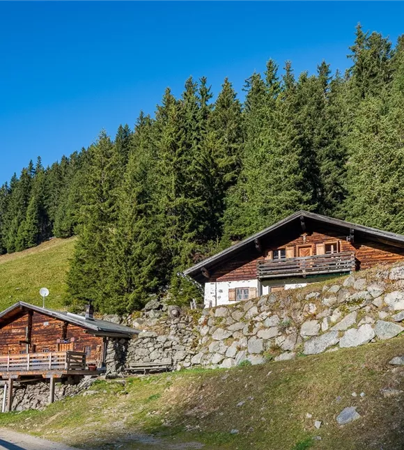
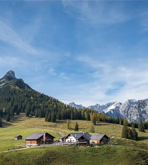
Quick, easy, local. The Proxenalm lies at an altitude of 1,663 m north of the Kellerjoch in the Tuxer Alps.

Altri tour

Ausblick Richtung Stanser Joch
+2

Sentiero del sindaco dall’Alpengasthof Pirchnerast a Grafenast

An enjoyable walk high above Schwaz.

10,80 km

04:40 h

1448 m

625 m

621 m

Facile

Wanderstöcke

Escursione dal castello di Freundsberg a Grafenast

A leisurely walk from Schwaz to the valley station of the Kellerjochbahn.

11,60 km

05:30 h

1410 m

750 m

Risorse

Hinterlahn-Alm Hochleger.jpg

In salita ripida, poi tranquillamente da un rifugio all’altro

Beautiful and not too challenging alpine tour

11,60 km

1615 m

1141 m

1128 m

Facile

171013_ichmachefotos.com_009.jpg

Umlberg - Ganalm - Walderalm

Salita alla Walderalm con la catena del Karwendel sempre in vista

15,80 km

06:00 h

1500 m

760 m

Risorse

information boards
+2

Percorso naturalistico Eng Alm

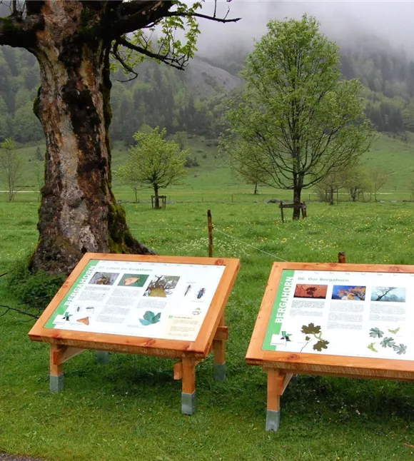
The impressive mountain panorama and the Großer Ahornboden natural monument provide the imposing backdrop for this trail, at the end of which lies the alpine village of Eng, where regional specialities can be sampled and purchased.

800,00 m

00:30 h

1225 m

20 m

Facile

Rovina di Rettenberg 01.JPG

Acque curative e rovine di castelli

Parzialmente aperto

Da Kolsass alla cappella di Lourdes c’è un buon chilometro, da lì alle rovine di Rettenberg altri circa 2 km. La variante 1, più breve, riporta al punto di partenza dopo ben 4 km. Percorso totale: circa 7 km.

7,50 km

761 m

358 m