
Vai al contenuto
171013_ichmachefotos.com_009.jpg

Escursioni e gite in montagna

Umlberg - Ganalm - Walderalm

Risorse

15,80 km

760 m

06:00 h

Descrizione

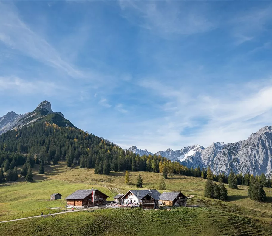
L'escursione conduce dall'Umlberg alla Ganalm lungo ampie strade forestali. Si aggira il Walderjoch e, dopo poco, il bosco lascia spazio alla vista sul Vomperloch e sulle sue alte vette. L’ampio sentiero escursionistico sale costantemente fino alla Walderalm. Da lì si apre la vista sul massiccio del Karwendel a nord e sulla valle dell’Inn a sud.

Informazioni importanti

Il sentiero Ganalm - Walderalm sarà chiuso a partire dal 27 ottobre 2025 a causa di lavori di disboscamento!
Risorse

Itinerario

15,80 km

760 m

06:00 h

1500 m

Inizio

Umlberg

Strutture collegate

Ganalm
+2

Ganalm

Terfens

Baita con stazione/distributore automatico per il prelievo autonomo

Malga

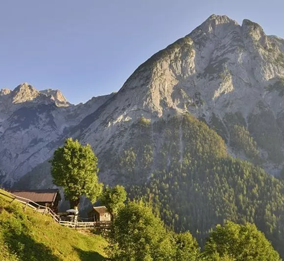
The footpath through the Vomper Loch nature reserve is like a wild and romantic little corner of the world.
171020_ichmachefotos.com_011.jpg
+2

Walderalm

Gnadenwald

Rifugio / Ristorazione di montagna

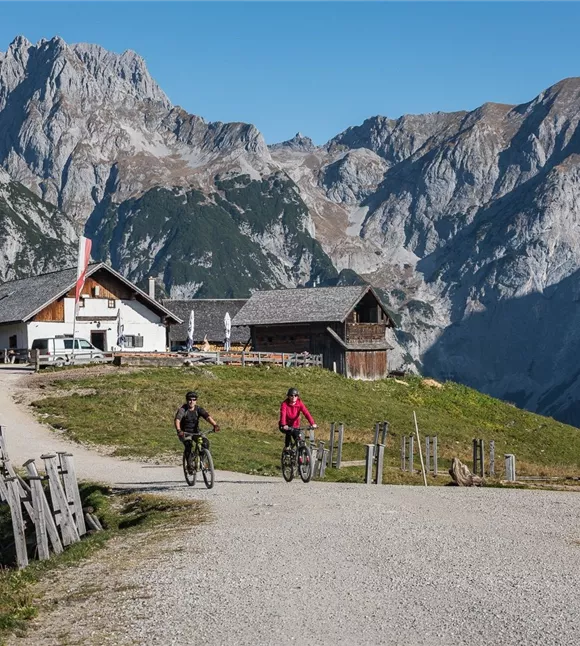
Nestled in the Karwendelgebirge, at 1501m above sea level, the Walderalm team tries to offer its guests a comfortable stay.

Altri tour

Pillerův vodopád
+2

Escursione alla cascata del Piller

A romantic walk along the stream in the narrow Pillertal valley, with the waterfall as the highlight.

2,60 km

01:00 h

715 m

155 m

Risorse

Gilfert 7.jpg
+2

Escursione circolare con splendidi panorami verso il Gilfert

The way to the Gilfert via its back side is not as gentle as over the Weerberg. But the ascent to the Gamsstein and the Graukopf off the Gilfert are characterised by particularly characteristic small landscapes of bizarre beauty.

12,50 km

06:30 h

900 m

Difficile

Blick auf den Kuhmesser/Kuhmöser
+3

Dal Loassattel al Kuhmesser

The Kuhmesser/Kuhmöser, standing at 2,264 metres, is a mountain ridge on the Kellerjoch, situated to the south-east.

4,50 km

03:45 h

2261 m

595 m

Risorse

Blick auf den Kuhmesser/Kuhmöser
+3

Dal Loassattel al Kuhmesser

The Kuhmesser/Kuhmöser, standing at 2,264 metres, is a mountain ridge on the Kellerjoch, situated to the south-east.

4,50 km

03:45 h

2261 m

595 m

Risorse

Aussicht vom Panormaweg
+3

Piccolo sentiero panoramico sul Weerberg

The short panoramic trail on the Weerberg – a treat for the whole family.

8,00 km

02:50 h

1575 m

315 m

Facile

Cesta smyslů
+3

Il percorso dei sensi

Parzialmente aperto

Fare escursioni attraverso il caratteristico paesaggio alpino, riscoprire i propri sensi e ammirare le opere di diversi artisti.

5,00 km

02:00 h

1490 m

180 m

Facile




