Vai al contenuto
Turistické hole

Escursioni e gite in montagna

Escursione dal castello di Freundsberg a Grafenast

Risorse

11,60 km

750 m

05:30 h

Risorse

Itinerario

11,60 km

750 m

05:30 h

1410 m

Inizio

Parcheggio del castello di Freundsberg

Punto di arrivo

Grafenast

Strutture collegate

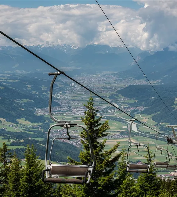
Kellerjochbahn
+3

La funivia del Kellerjoch in estate

Pill

Aziende partner

Funivia

+1

In summer, the Kellerjochbahn Lift whisks you up to almost 2,000 metres above sea level.

Altri tour

wehn_115498.jpg

Sull'Hochnissl

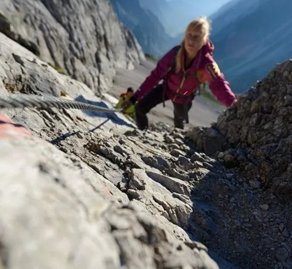
Very long, very steep and enormously beautiful. The basic requirements are surefootedness and a sense of orientation in the pathless scree.

6,10 km

2542 m

1682 m

Difficile

wehn_115498.jpg

Sull'Hochnissl

Very long, very steep and enormously beautiful. The basic requirements are surefootedness and a sense of orientation in the pathless scree.

6,10 km

2542 m

1682 m

Difficile

Ruine Rettenberg 01.JPG

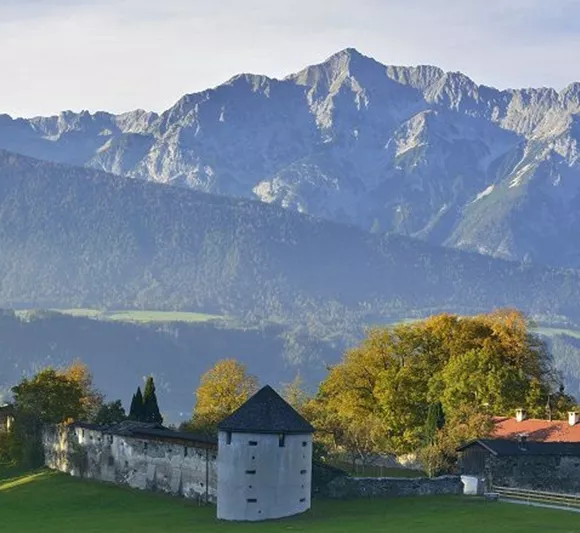
Acque curative e rovine di castelli

Parzialmente aperto

Da Kolsass alla cappella di Lourdes c’è un buon chilometro, da lì alle rovine di Rettenberg altri circa 2 km. La variante 1, più breve, riporta al punto di partenza dopo ben 4 km. Percorso totale: circa 7 km.

7,50 km

761 m

358 m

Ruine Rettenberg 01.JPG

Acque curative e rovine di castelli

Parzialmente aperto

Da Kolsass alla cappella di Lourdes c’è un buon chilometro, da lì alle rovine di Rettenberg altri circa 2 km. La variante 1, più breve, riporta al punto di partenza dopo ben 4 km. Percorso totale: circa 7 km.

7,50 km

761 m

358 m

Býk u naleziště stříbra
+10

Sentiero dei minatori di Schwaz

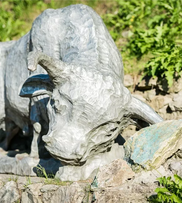
A journey through the mining industry of Schwaz.

2,60 km

01:00 h

682 m

120 m

115 m

Facile

Býk u naleziště stříbra
+10

Sentiero dei minatori di Schwaz

A journey through the mining industry of Schwaz.

2,60 km

01:00 h

682 m

120 m

115 m

Facile