Long-distance hike (5 stages or more)
Inntaler Höhenweg 2000 – a difficult 6-day hike in Tyrol
Difficult
75,75 km
5000 m
30:40 h
Description
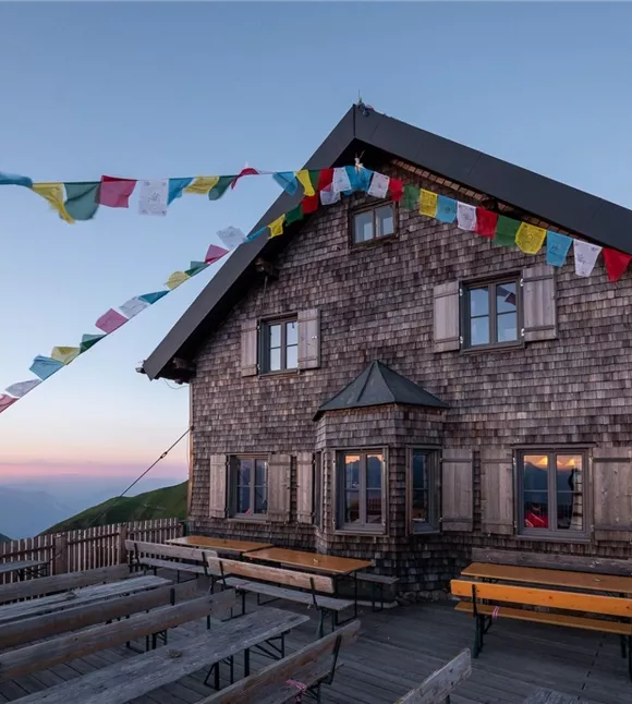
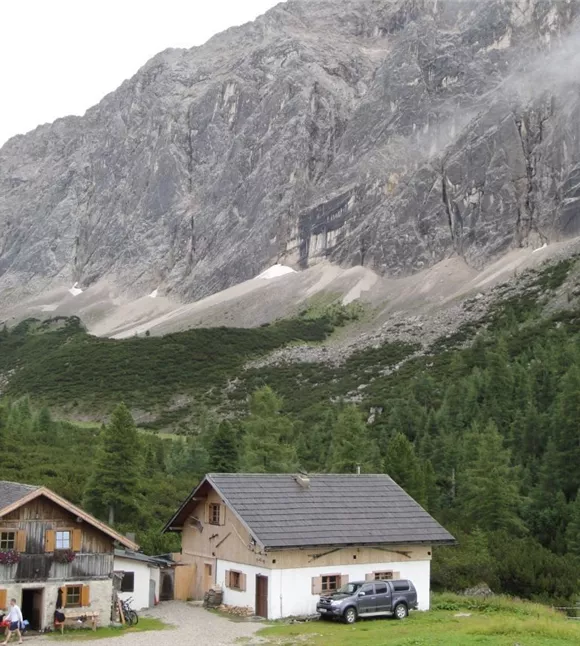
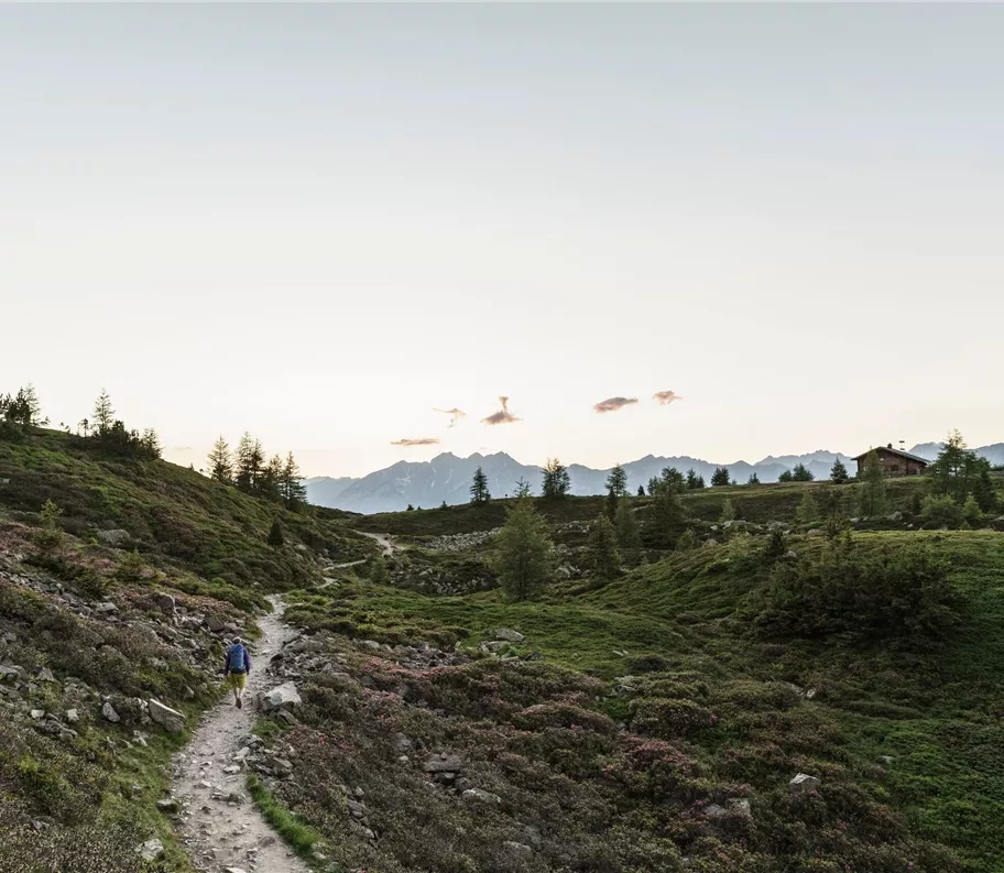
From Innsbruck/Igls, go over Patscherkofel along the Zirbenweg to the Glungezer Hut (2610 m), on the "Glungezer & Geier" ridge route over the "seven Tuxer summits" to the Lizumer Hut (2019 m). From here, the "Inntaler" follows the Central Alpine Trail 02A across the Grafennsjoch to the Weidener Hut, from there over the Nurpensjoch to the Rastkogel Hut (2117 m), then to Hochfügen and over the Loassattel to the Kellerjoch Hut, with descent to Schwaz. The "Inntaler" passes through the Patscherkofel - Zirmberg - Viggartal landscape protection area, above the Blue Lakes, touching Voldertal, Navistal, Wattental, Nafing and Nurpen Valley,
Best season
January
February
March
April
May
June
July
August
September
October
November
December
Elevation profile & characteristics
condition
Parking
Innsbruck - Innsbruck/Igls
Equipment
The following stages of the Inntal High Trail are affected:
Stage 1: Innsbruck – Glungezer Hut
Stage 2: Glungezer Hut – Lizumer Hut
The route follows existing paths and trails, is marked and signposted. It can also be hiked in the opposite direction from Kellerjoch to Patscherkofel. "Entrances" and "exits" to the route are possible at every hut.
Public transport
Take the Bus J to the starting point at Igls/Innsbruck
Instructions
Innsbruck/Igls - Patscherkofel - Zirbenweg - Glungezer Hut 6.5 km, 3 hrs (easy); +550 m altitude gain (from Igls +1100 m) Ascent with the Patscherkofel cable car or climb via "Heiligwasser." From the Patscherkofel House (1970 m) or over the Patscherkofel summit (2246 m) to "Boscheben," along the Zirbenweg, then right on the high trail to the Glungezer Hut (2610 m), the excellent trekking and ski tour hut at the "gateway to the Tux Alps." From here, Sonnenspitze (10 min) and