Long-distance hike (5 stages or more)
Themed trail
Tiroler Silberpfad
Easy
88,00 km
3500 m
32:00 h
Description
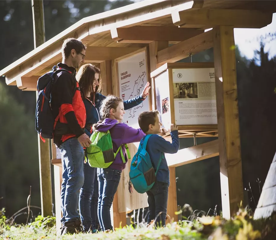
The Tiroler Silberpfad is a circular tour along the Inn Valley to the most beautiful places in the region. All twelve municipalities of the Silberregion Karwendel are hiked through. Jenbach - Stans - Vomp- Terfens - Weer - Kolsass - Kolsassberg - Weerberg - Pill - Schwaz - Gallzein - Buch in Tirol. The starting point of the long-distance trail is Jenbach railway station. From here, the trail runs in five daily stages, mostly at medium altitudes, through the Karwendel Mountains and the Tuxer Voralpen. The trail is easy to moderately difficult and particularly entertaining, as there are many sights
Best season
January
February
March
April
May
June
July
August
September
October
November
December
Elevation profile & characteristics
Technology
condition
Features
Family walk
Circular walk
Characteristics of multi-day tours
Gesamtverlauf
Public transport
For your long-distance hiking holiday in the Karwendel Silver Region, we recommend travelling by public transport. You can find all information at:https://silberregion-karwendel.com/en/getting-there
Our tip
With the SILBERCARD guest card you can travel free of charge and as often as you like on the regional bus routes within the Karwendel Silver Region during your holiday.
You can find the timetables of the public buses at www.vvt.at and www.ledermair.at.
Our tip
With the SILBERCARD guest card you can travel free of charge and as often as you like on the regional bus routes within the Karwendel Silver Region during your holiday.
You can find the timetables of the public buses at www.vvt.at and www.ledermair.at.
Author's tip
This walk is a permanent route of the Austrian Volkssport Association (ÖVV) and an IVV-accredited route.
These are marked hiking trails that you can hike independently at any time with a start card and route map.
More information at https://oevv-wandern.at/
These are marked hiking trails that you can hike independently at any time with a start card and route map.
More information at https://oevv-wandern.at/
Trail conditions
Attention! Diversion in the Vomperbach/Vomperloch area. Please follow the diversions or the signposts. The Tiroler Silberpfad runs on well-prepared forest, gravel and hiking trails as well as on asphalt roads.