9684945.jpg
+2

Randonnée alpine

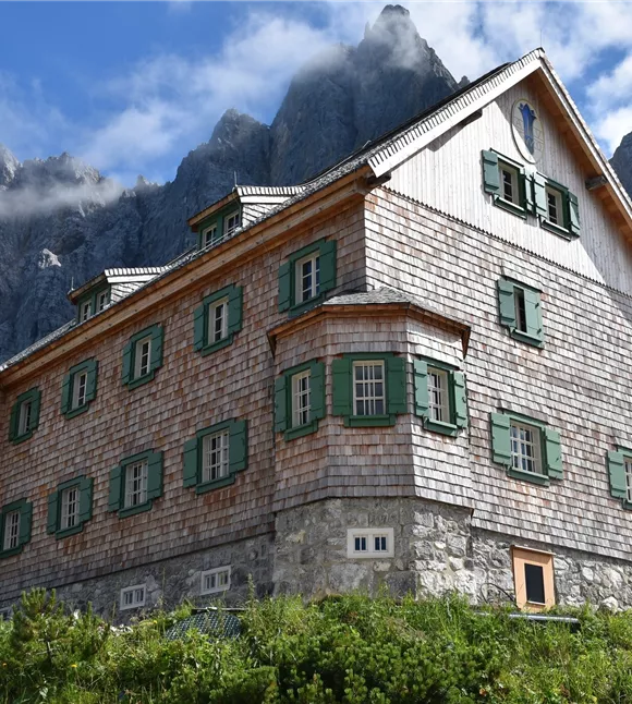
Étape 10 de l'Adlerweg : Falkenhütte – Karwendelhaus

Moyen

11,50 km

423 m

Moyen

Itinéraire

11,50 km

423 m

1848 m

commencer

Refuge Falken

Point d’arrivée

Karwendelhaus

Plus de visites

Gilfert 7.jpg
+2

Randonnée circulaire offrant de superbes points de vue vers le Gilfert

The way to the Gilfert via its back side is not as gentle as over the Weerberg. But the ascent to the Gamsstein and the Graukopf off the Gilfert are characterised by particularly characteristic small landscapes of bizarre beauty.

12,50 km

06:30 h

900 m

Difficile

Falkenhütte
+3

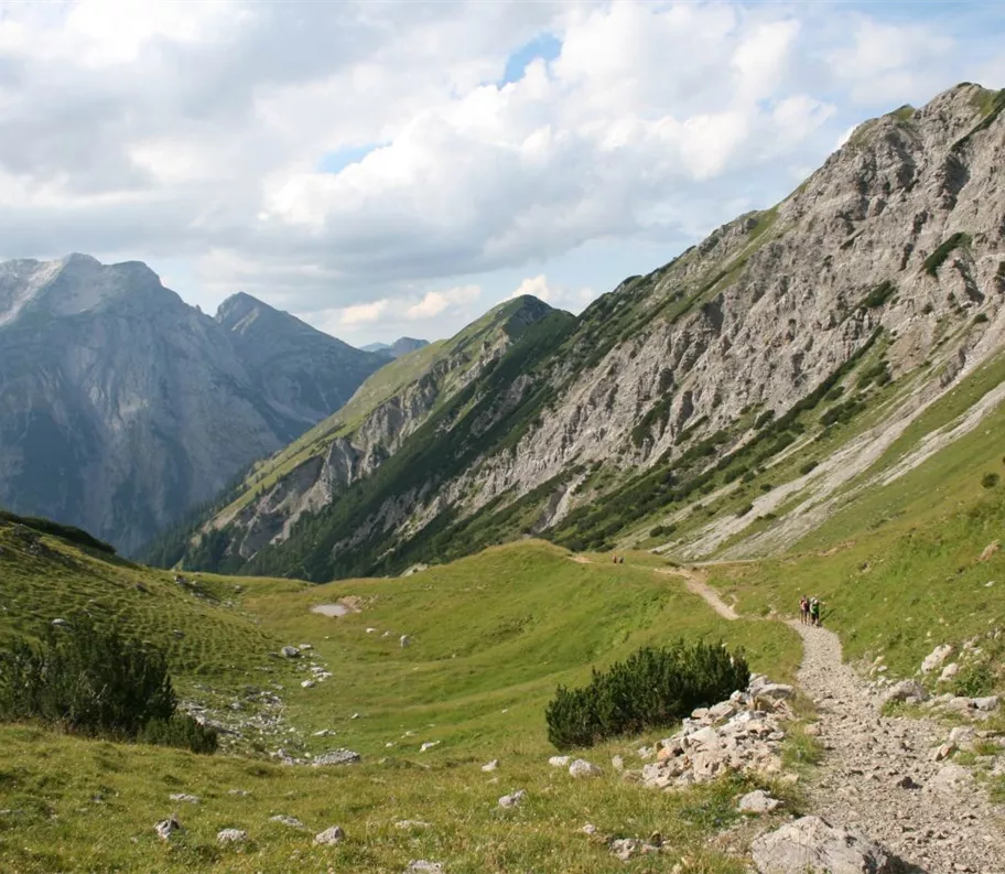
De l'Eng au refuge Falkenhütte en passant par le Hohljoch

Randonnée le long des imposantes formations rocheuses des parois de Lalider jusqu'au refuge Falkenhütte.

14,00 km

06:20 h

1845 m

880 m

875 m

180812_ichmachefotos.com_012.jpg
+3

Par la Lafasteralm jusqu'au Gilfert

Partiellement ouvert

Wonderful mountain scenery with views of the Karwendel and the Zillertal Alps. Impressive summit cross at the Gilfert!

19,00 km

05:00 h

2500 m

1265 m

180812_ichmachefotos.com_012.jpg
+3

Par la Lafasteralm jusqu'au Gilfert

Partiellement ouvert

Wonderful mountain scenery with views of the Karwendel and the Zillertal Alps. Impressive summit cross at the Gilfert!

19,00 km

05:00 h

2500 m

1265 m

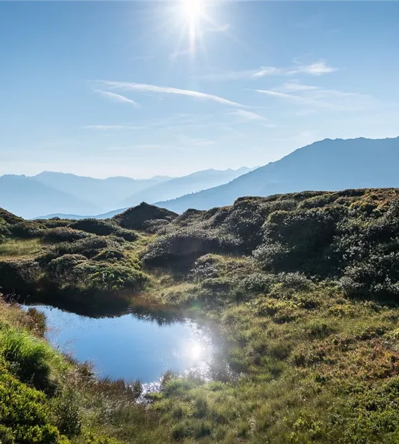
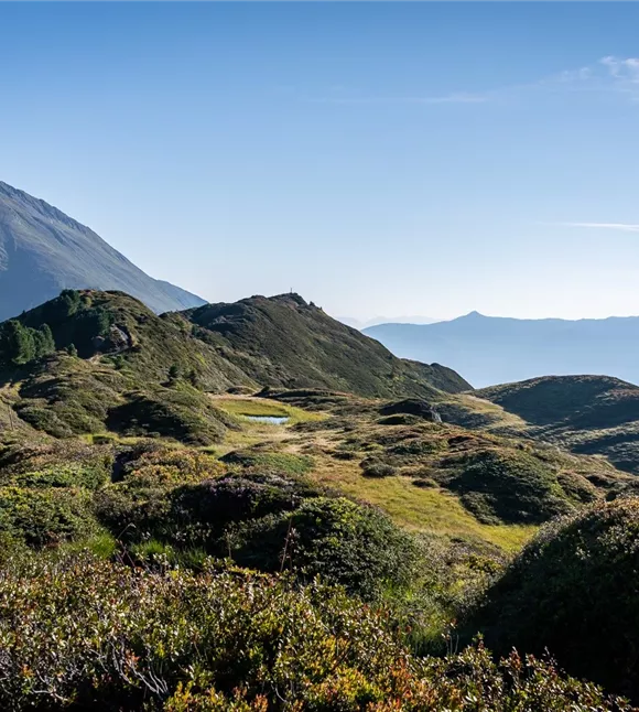
Moorseengebiet am Gamsstein
+3

Du col du Loassattel au Kleiner Gamsstein

Randonnée de montagne agréable, qui convient également aux familles passionnées de randonnée 

2,80 km

01:45 h

1920 m

245 m

240 m

Moorseengebiet am Gamsstein
+3

Du col du Loassattel au Kleiner Gamsstein

Randonnée de montagne agréable, qui convient également aux familles passionnées de randonnée 

2,80 km

01:45 h

1920 m

245 m

240 m