Randonnée « Nature Watch »
Randonnée alpine
Randonnée entre refuges et alpages
Randonnée et excursion en montagne
De l'Eng au refuge Falkenhütte en passant par le Hohljoch
Moyen
14,00 km
880 m
06:20 h
Description
Les parois de Lalider comptent parmi les formations rocheuses les plus impressionnantes de tout le massif du Karwendel et fascinent autant les amoureux de la nature que les randonneurs. Elles ne cessent d'émerveiller par leur aspect imposant : culminant jusqu'à 900 mètres de haut, ces parois calcaires verticales plongent à pic dans la vallée et marquent le paysage de leur empreinte.
Meilleure saison
janvier
février
mars
avril
mai
juin
juillet
août
septembre
octobre
novembre
décembre
Profil d'élévation et caractéristiques
Niveau technique
Condition physique
Parking
En voiture :
Parking P10
- Sortie d'autoroute A12 Achensee, route nationale B181 d'Achensee jusqu'à la frontière du col d'Achen
- Passage de la frontière vers la Bavière (307) jusqu’au lac de Sylvenstein, tourner à gauche en direction de Vorderriss
- Tourner à gauche vers Hinterriss, emprunter la route à péage jusqu’au parking P10
Parking P10
Équipements
- Chaussures robustes
- Vêtements imperméables / protection solaire
- Eau potable et en-cas en quantité suffisante
Instructions
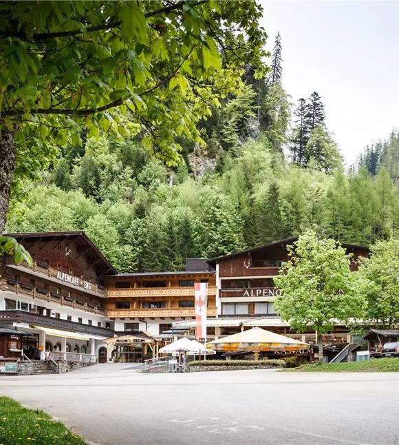
- Depuis le parking P10, le chemin forestier mène aux Engalmen
- Depuis les Engalmen, un sentier de randonnée mène au Hohljoch
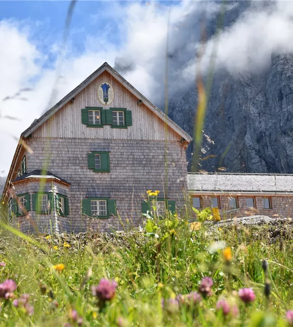
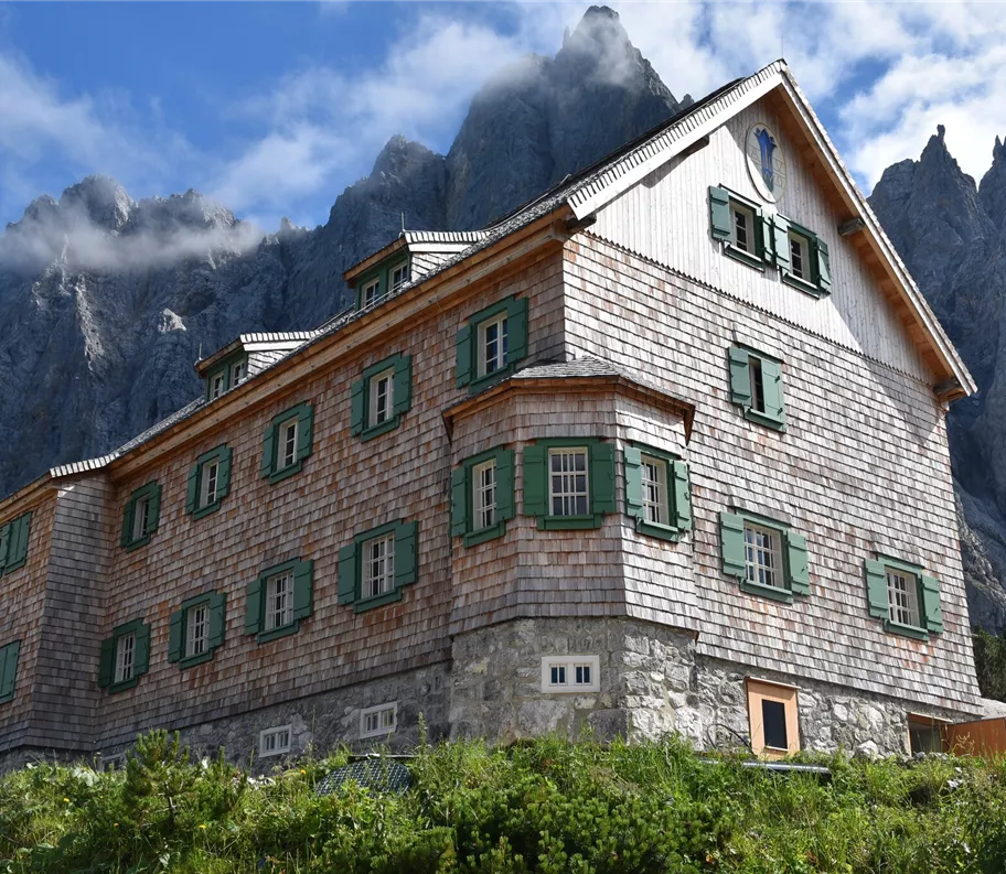
- Au pied des parois de Lalider, le sentier traverse jusqu’au Spielissjoch puis monte jusqu’à la Falkenhütte
- Retour par le même chemin
État du chemin
Chemin forestier, sentier de randonnée