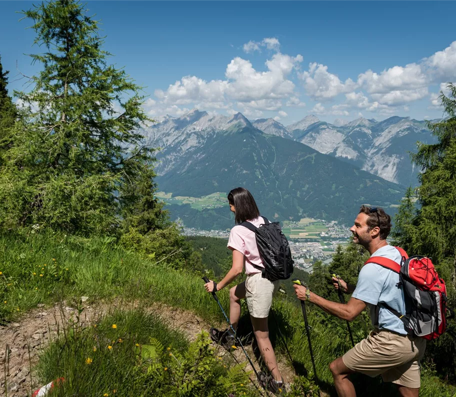
Wandern am Kellerjoch
+3

Randonnée et excursion en montagne

Circuit de randonnée le long du sentier « Schutzwaldsteig » au Kellerjoch

Moyen

9,60 km

630 m

04:30 h

Moyen

Itinéraire

9,60 km

630 m

04:30 h

1848 m

commencer

Parking du téléphérique du Kellerjoch

Point d’arrivée

Parking du téléphérique du Kellerjoch

Équipements à proximité

View from the Hecherhaus
+3

Restaurant de montagne Hecherhaus

Schwaz

propriétaire

Refuge / Restauration de montagne

+2

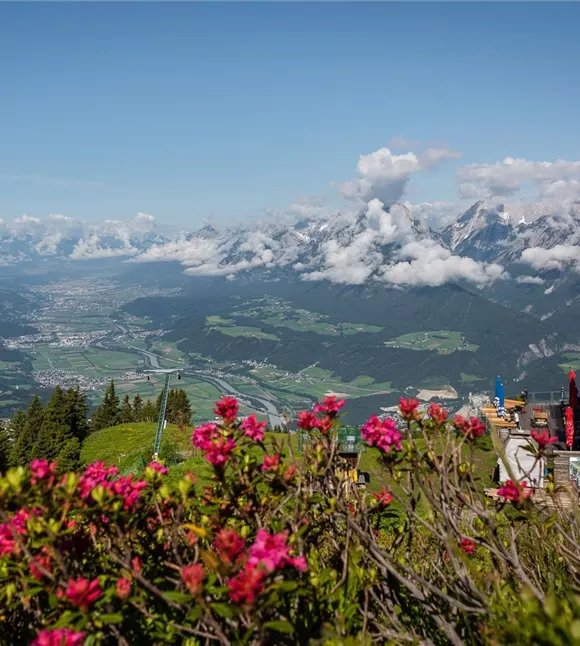
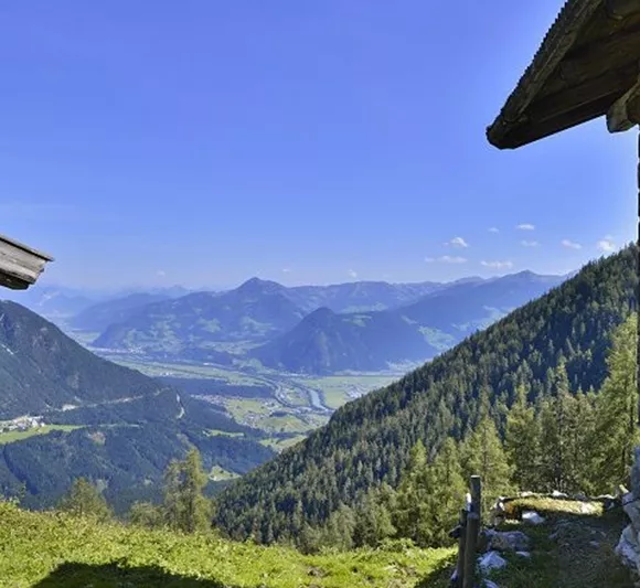
The Hecher house in theThe Hecherhaus, with its large sun terrace, is situated right next to the top station of the Kellerjochbahn and offers a stunning view over the Inn Valley and the Karwendel Mountains opposite.
Funivia del Kellerjoch
+3

Le téléphérique du Kellerjoch en été

Pill

Destination d'excursion

Entreprises partenaires

+1

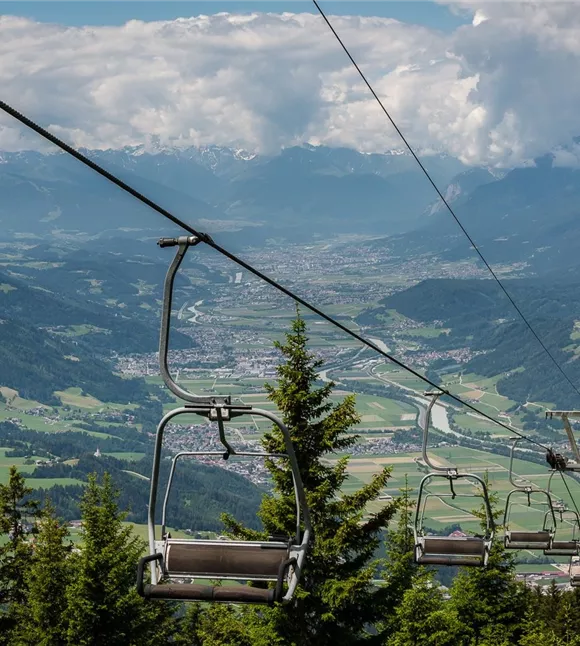
In summer, the Kellerjochbahn Lift whisks you up to almost 2,000 metres above sea level.
parkplatz-symbol-478x477_81883552.jpg

Parking du téléphérique du Kellerjoch

Schwaz

Parking

Proxenalm
+3

Alpage de Proxn

Schwaz

Alpage

Randonnée et excursion en montagne

+1

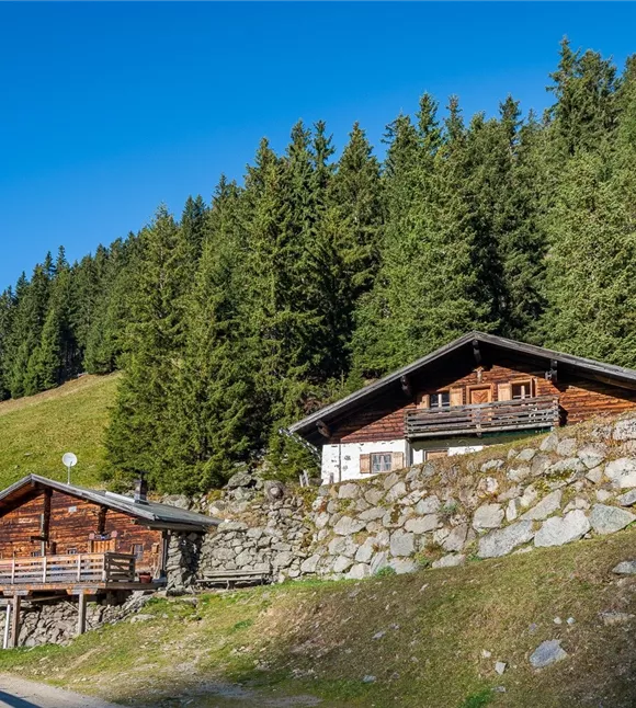
Quick, easy, local. The Proxenalm lies at an altitude of 1,663 m north of the Kellerjoch in the Tuxer Alps.

Plus de visites

Ausblick Richtung Stanser Joch
+2

Le sentier du maire, de l'Alpengasthof Pirchnerast à Grafenast

An enjoyable walk high above Schwaz.

10,80 km

04:40 h

1448 m

625 m

621 m

Facile

Wanderstöcke

Randonnée du château de Freundsberg à Grafenast

A leisurely walk from Schwaz to the valley station of the Kellerjochbahn.

11,60 km

05:30 h

1410 m

750 m

Wanderstöcke

Randonnée du château de Freundsberg à Grafenast

A leisurely walk from Schwaz to the valley station of the Kellerjochbahn.

11,60 km

05:30 h

1410 m

750 m

Hinterlahn-Alm Hochleger.jpg

Une montée raide, puis une balade tranquille d'un alpage à l'autre

Beautiful and not too challenging alpine tour

11,60 km

1615 m

1141 m

1128 m

Facile

171013_ichmachefotos.com_009.jpg

Umlberg - Ganalm - Walderalm

Montée vers la Walderalm, avec une vue imprenable sur le massif du Karwendel tout au long du parcours

15,80 km

06:00 h

1500 m

760 m

information boards
+2

Sentier pédagogique de l'Eng Alm

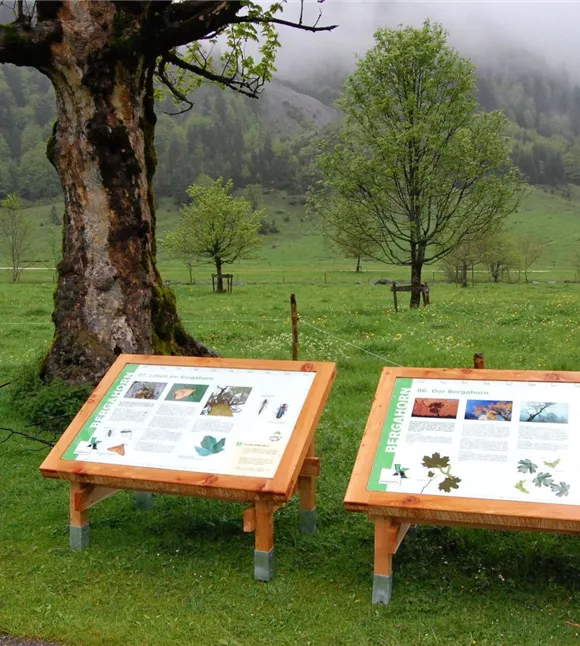
The impressive mountain panorama and the Großer Ahornboden natural monument provide the imposing backdrop for this trail, at the end of which lies the alpine village of Eng, where regional specialities can be sampled and purchased.

800,00 m

00:30 h

1225 m

20 m

Facile