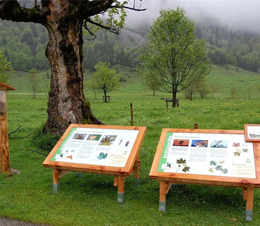
informační tabule
+2

Parcours thématique

Randonnée et excursion en montagne

Randonnées en famille

Sentiers de promenade et de randonnée dans la vallée

Sentier pédagogique de l'Eng Alm

Facile

800,00 m

20 m

00:30 h

Facile

Itinéraire

800,00 m

20 m

00:30 h

1225 m

commencer

L'ENG : auberge alpine et hôtel nature

Point d’arrivée

Eng Alm

Équipements à proximité

Großer-Ahornboden (3).jpg
+3

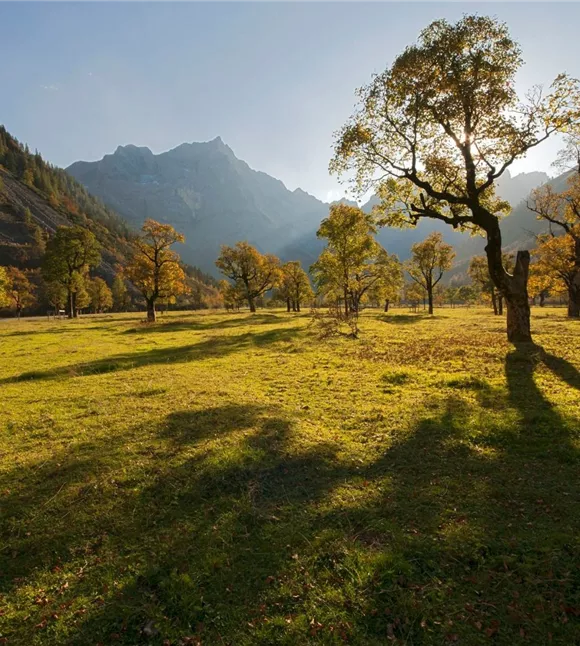
Grand Ahornboden

Vomp

joyau naturel

Parc naturel du Tyrol / Parc national

The "Große Ahornboden" (Great Maple Ground) was voted the most beautiful place in Tyrol. On 240 hectares there are 2,300 maple trees, the oldest of which already count around 700 annual rings. The sycamore maple is dominant in the Karwendel Mountains, it loves the gravelly soil.
Parkplatz Eng

Parking P10

Vomp

Parking

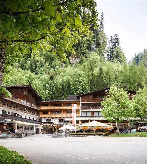
Die Eng Alpengasthof & Naturhotel
+3

Restaurant DIE ENG - Auberge alpine et hôtel nature

Vomp

Auberge/Restaurant

Lit+Vélo

+2

A traditional Tyrolean family-run business – right next to the Großer Ahornboden in the Karwendel Nature Park.
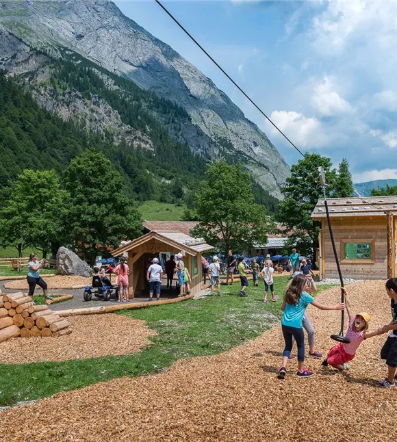
Herní poklad Eng Alm
+6

Trésor ludique d'Eng Alm

Vomp

Aire de jeux

Destination d'excursion

+1

The alpine playground at the Ahornboden

Plus de visites

Pillerův vodopád
+2

Randonnée vers la cascade du Piller

A romantic walk along the stream in the narrow Pillertal valley, with the waterfall as the highlight.

2,60 km

01:00 h

715 m

155 m

Gilfert 7.jpg
+2

Randonnée circulaire offrant de superbes points de vue vers le Gilfert

The way to the Gilfert via its back side is not as gentle as over the Weerberg. But the ascent to the Gamsstein and the Graukopf off the Gilfert are characterised by particularly characteristic small landscapes of bizarre beauty.

12,50 km

06:30 h

900 m

Difficile

Blick auf den Kuhmesser/Kuhmöser
+3

Du col du Loassattel au Kuhmesser

The Kuhmesser/Kuhmöser, standing at 2,264 metres, is a mountain ridge on the Kellerjoch, situated to the south-east.

4,50 km

03:45 h

2261 m

595 m

Blick auf den Kuhmesser/Kuhmöser
+3

Du col du Loassattel au Kuhmesser

The Kuhmesser/Kuhmöser, standing at 2,264 metres, is a mountain ridge on the Kellerjoch, situated to the south-east.

4,50 km

03:45 h

2261 m

595 m

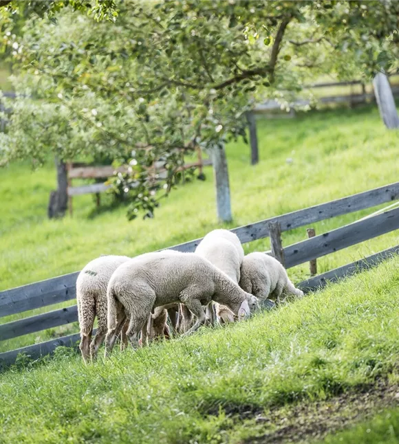
Schafherde
+3

Sentier de détente de Terfens

A leisurely stroll around Terfens.

01:00 h

640 m

75 m

70 m

Facile

Aussicht vom Panormaweg
+3

Petit sentier panoramique du Weerberg

The short panoramic trail on the Weerberg – a treat for the whole family.

8,00 km

02:50 h

1575 m

315 m

Facile