Trail running
TST 42K
42,00 km
2500 m
Description
TST 42K
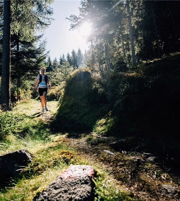
The 42K ticks all the boxes and, with 2,500 metres of elevation gain, poses a challenge even to experienced trail runners. Anyone lining up at the start here is looking for more than just a run – it’s all about the perfect blend of endurance, technique and mental strength.
The 42K ticks all the boxes and, with 2,500 metres of elevation gain, poses a challenge even to experienced trail runners. Anyone lining up at the start here is looking for more than just a run – it’s all about the perfect blend of endurance, technique and mental strength.
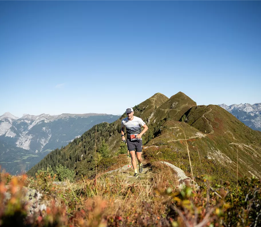
The highest point of the route is the Kellerjoch – voted the most beautiful spot in Tyrol. Once at the top, a breathtaking view over the Inn Valley opens up – a moment to catch your breath before continuing towards the finish.
Here, pure trail running passion meets
Best season
January
February
March
April
May
June
July
August
September
October
November
December
Elevation profile & characteristics
Technology
condition
Parking
If it is not possible to travel by public transport, the following car parks are available:
- Stadtgalerien car park, Königfeldweg 8, 6130 Schwaz
- Stadtgarage car park, Wopfnerstraße 15, 6130 Schwaz
Both car parks are just a few minutes’ walk from the venue.
Additional parking spaces for people with disabilities:- Tannenbergstr. 15 / corner of Franz-Josef-Straße
- Pfundplatz
Equipment
See website
Public transport
Schwaz railway station is situated on
the Lower Inn Valley railway line (Innsbruck–Kufstein) and is only about 10
minutes’ walk from the start and finish point at the Parish Church of the Assumption of Mary
. Visitors from the surrounding area can travel there conveniently by
the Citybus or regional buses. The stops Schwaz–Steinbrücke,
Schwaz Kirchbräuplatz or Terminal Wopfnerstraße are
only about 5 minutes’ walk from the starting point.
the Lower Inn Valley railway line (Innsbruck–Kufstein) and is only about 10
minutes’ walk from the start and finish point at the Parish Church of the Assumption of Mary
. Visitors from the surrounding area can travel there conveniently by
the Citybus or regional buses. The stops Schwaz–Steinbrücke,
Schwaz Kirchbräuplatz or Terminal Wopfnerstraße are
only about 5 minutes’ walk from the starting point.
Instructions
Route description:
- The route starts in Schwaz’s old town. From there, it heads uphill through the Silberwald towards Kogelmoos.
- The route is characterised by long climbs, accompanied by sweeping views across the Inn Valley.
- The trail continues via Vogelsang to Hochgallzein, before carrying on along forest tracks towards Geistgraben.
- Via the Lackenhütte and Schwaderalm, the route continues to the Proxenweg, Proxenstand and up to the Gratzenkopf.
- Next come the Kellerjoch Chapel and the Kellerjochhütte, before the route heads via the Hecherhaus to the Loassattel.
- The route then continues via the Galtererweg to the Naunzalm, past the reservoir to Grafenast and
Trail conditions
41% paths/trails
44% tracks (gravel, forest and farm tracks)
15% roads / tarmac
44% tracks (gravel, forest and farm tracks)
15% roads / tarmac
Route
42,00 km
2500 m
2340 m
start
Schwaz Old Town
Destination
Schwaz Old Town