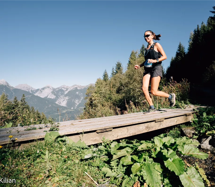
Trail running
TST 23K
23,00 km
1300 m
Description
TST 23K
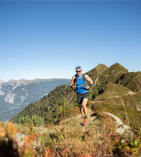
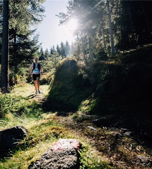
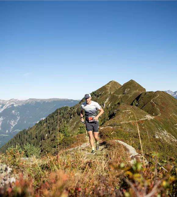
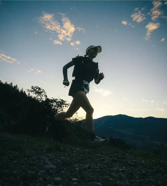
For those who prefer a shorter but no less intense race, there’s the 23 km distance. This route also takes runners uphill, downhill and across challenging terrain. A gruelling battle against the clock and your own limits – because the fastest runners must pace themselves perfectly to fight their way to the top in this short but intense race. One ITRA point – and a feeling as though you’ve earned two.
For those who prefer a shorter but no less intense race, there’s the 23 km distance. This route also takes runners uphill, downhill and across challenging terrain. A gruelling battle against the clock and your own limits – because the fastest runners must pace themselves perfectly to fight their way to the top in this short but intense race. One ITRA point – and a feeling as though you’ve earned two.
Best season
January
February
March
April
May
June
July
August
September
October
November
December
Elevation profile & characteristics
Technology
condition
Parking
If it is not possible to travel by public
transport, the following car parks are available:
minutes’ walk from the venue.
Additional parking spaces for people with
disabilities:
transport, the following car parks are available:
- Stadtgarage,
Wopfnerstraße 15, 6130 Schwaz - Stadtgalerien
Car park, Königfeldweg 8, 6130 Schwaz
minutes’ walk from the venue.
Additional parking spaces for people with
disabilities:
- Tannenbergstr.
15 / corner of Franz-Josef-Straße
- Pfundplatz
Equipment
See website
Public transport
Schwaz railway station is situated on
the Lower Inn Valley railway line (Innsbruck–Kufstein) and is only about 10
minutes’ walk from the start and finish point at the Parish Church of the Assumption of Mary
. Visitors from the surrounding area can travel there conveniently by
the Citybus or regional buses. The bus stops Schwaz–Steinbrücke,
Schwaz Kirchbräuplatz or Terminal Wopfnerstraße are
only about 5 minutes’ walk from the starting point.
the Lower Inn Valley railway line (Innsbruck–Kufstein) and is only about 10
minutes’ walk from the start and finish point at the Parish Church of the Assumption of Mary
. Visitors from the surrounding area can travel there conveniently by
the Citybus or regional buses. The bus stops Schwaz–Steinbrücke,
Schwaz Kirchbräuplatz or Terminal Wopfnerstraße are
only about 5 minutes’ walk from the starting point.
Instructions
Route description:
- Starting in Schwaz’s old town, the route heads up through the Silberwald towards Kogelmoos.
- The route continues via Schmiedboden and Plumpmoos before reaching the scenic Bürgermeistersteig.
- The route then continues via Grafenast and Egertboden back towards Schwaz.
- The final section leads past Freundsberg Castle, via the Leitenweg and Burggasse, back to the finish in Schwaz’s old town.
Trail conditions
27% paths/trails
60% tracks (gravel, forest and farm tracks)
13% roads / tarmac
60% tracks (gravel, forest and farm tracks)
13% roads / tarmac
Route
23,00 km
1300 m
1580 m
start
Schwaz Old Town
Destination
Schwaz Old Town