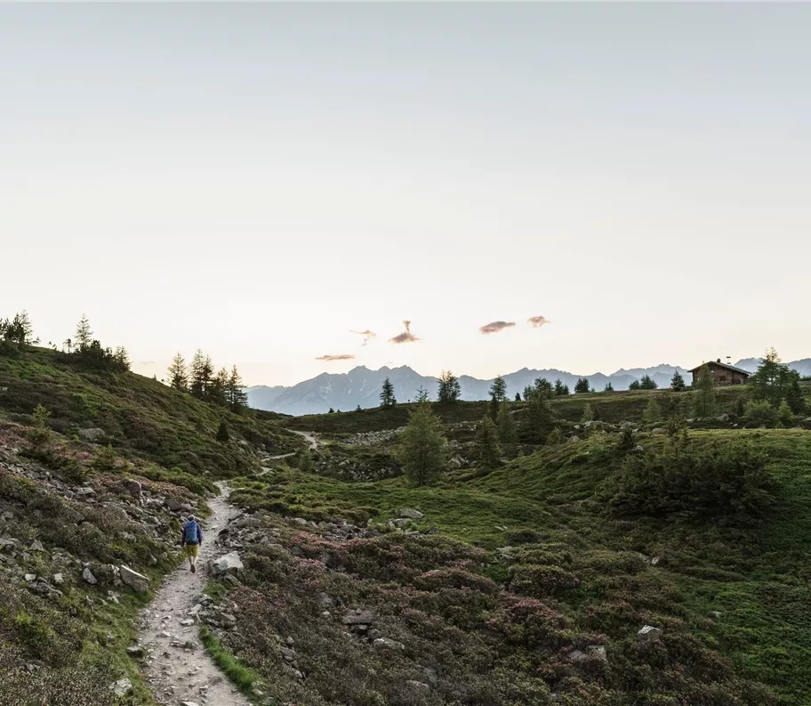
Zirbenweg
+5

Long-distance hike (5 stages or more)

The Inntal High Trail – a challenging 6-day hike in Tyrol

Difficult

75,75 km

5000 m

30:40 h

Description

From Innsbruck/Igls, the route takes you over the Patscherkofel along the Zirbenweg to the Glungezer Hut (2,610 m), then along the “Glungezer & Geier” ridge route via the “Seven Tuxer Summits” to the Lizumer Hut (2,019 m). From here, the ‘Inntaler’ follows the Zentralalpenweg 02A over the Grafennsjoch to the Weidener Hut, from there over the Nurpensjoch to the Rastkogel Hut (2,117 m), on to Hochfügen and over the Loassattel to the Kellerjoch Hut, with a descent to Schwaz. The ‘Inntaler’ runs through the Patscherkofel–Zirmberg–Viggartal Landscape Conservation Area, above the Blue Lakes, and passes through the Voldertal, Navistal, Wattental, Nafing

Difficult

Route

75,75 km

5000 m

4530 m

30:40 h

2794 m

start

Innsbruck

Destination

Schwaz

Impressions

More tours

Rodinná túra po tyrolské stříbrné stezce
+6

Tyrolean Silver Trail

Long-distance hiking in the Karwendel Silver Region along the Tyrolean Silver Trail: The circular route takes you through the central Lower Inn Valley to the region’s most beautiful spots. Along the way, you’ll walk through all twelve municipalities of the Karwendel Silver Region: Jenbach – Stans – Vomp – Terfens – Kolsass – Kolsassberg – Weer – Weerberg – Pill – Schwaz – Gallzein – Buch i.T. In five easy to moderately difficult day’s walks, each covering 13 to 20 km , the route takes you at medium altitude between the valley and the tree line through the Karwendel and the Tux Pre-Alps. You can tailor your hiking experience entirely to your own preferences. The Tyrolean Silver Trail is suitable as a multi-day tour for long-distance hiking enthusiasts or, when broken down into sections, is ideal for family outings. Along the route, there are plenty of places to stay overnight and numerous additional ascent & exits.

88,00 km

32:00 h

1487 m

3500 m

87126352.jpg
+2

Eagle Walk Stage 09: Lamsenjoch Hut - Falken Hut

This stage along the Adlerweg leads from the Lamsenjochhütte built in 1908 to the Falkenhütte at almost 2,000 metres. The tour crosses the "Grosse Ahornboden", a natural monument with more than 2,000 maples.

12,20 km

1952 m

778 m

Medium

38655843.jpg
+2

Eagle Walk Stage 08: Erfurter Hütte - Lamsenjochhütte

This stage on the Eagle Walk starts either with a cable car ride from the Erfurter Hütte down to Maurach or starts directly in Maurach. The route continues along Lake Achensee to Pertisau and into the gently ascending Falzthurntal to Gramaialm.

19,10 km

1949 m

1035 m

Medium

180618_ichmachefotos.com_176.jpg
+6

The Inntal High Trail

The Inntaler Höhenweg follows the 2,000-metre contour line for six days, high above the Tyrolean Inn Valley as it heads east, from the Patscherkofel to the Kellerjoch. At altitudes between 1,800m and 2,800m, the ‘Inntåler’ winds its way through the unspoilt mountain landscapes of the tranquil Tux Alps.

73,00 km

2784 m

5283 m

Difficult