Hiking & Mountain Tours
Long-distance hike (5 stages or more)
The Inntal High Trail
Difficult
73,00 km
5283 m
Description
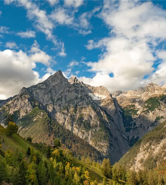
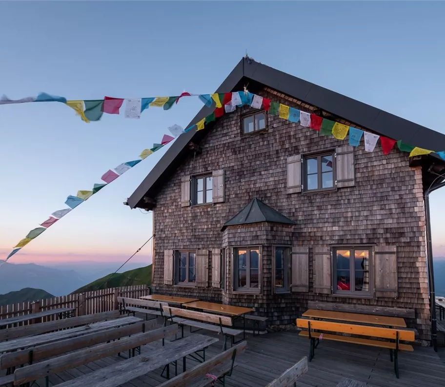
From Innsbruck/Igls/Patscherkofelbahn mountain station, the route takes you over the Patscherkofel along the Zirbenweg to the Glungezer Hut (2,610 m), via the ‘Glungezer & Geier’ – a ridge route via the 7TS (‘seven TuXer summits’) to the Lizumer Hut (2,019 m). From here, the ‘Inntåler’ follows the Central Alpine Trail 02A over the Grafennsjoch to the Weidener Hut, and from there over the Nurpensjoch to the Rastkogel Hut (2,117 m), on to Hochfügen and over the Loassattel to the Kellerjoch Hut, with a descent to Schwaz. The Inntåler runs through the Patscherkofel – Zirmberg – Viggartal – Glungezer landscape conservation
Elevation profile & characteristics
Equipment
Sturdy footwear, rainwear, sun protection, sun protection
Trail conditions
The route through the Karwendel Silver Region consists entirely of hiking trails (some of which are steep and scree-covered)