Hiking & Mountain Tours
Multi-day hike (up to 4 stages)
Tyrolean Nature Park / National Park
Karwendeltour
Medium
41,00 km
1875 m
15:50 h
Description
Day 1 - From Hinterriss to the Falkenhütte
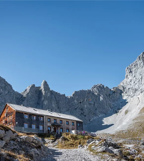
Starting point is the "Gasthof zur Post" in Hinterriss. In the information centre of the "Alpenpark Karwendel" you have the possibility to inform yourself about the Karwendel in natural history films and exhibitions before your tour. Afterwards you hike along path 231 into the outer Johannestal to Kleiner Ahornboden. From here, following the signpost "Falkenhütte", you will go to the Ladizwald and the beautifully situated Ladizalm; in Kehren to the Spielissjoch and further up to the Falkenhütte. Depending on your mood and physical condition, you can climb up to the top of
Starting point is the "Gasthof zur Post" in Hinterriss. In the information centre of the "Alpenpark Karwendel" you have the possibility to inform yourself about the Karwendel in natural history films and exhibitions before your tour. Afterwards you hike along path 231 into the outer Johannestal to Kleiner Ahornboden. From here, following the signpost "Falkenhütte", you will go to the Ladizwald and the beautifully situated Ladizalm; in Kehren to the Spielissjoch and further up to the Falkenhütte. Depending on your mood and physical condition, you can climb up to the top of
Best season
January
February
March
April
May
June
July
August
September
October
November
December
Elevation profile & characteristics
Technology
condition
Features
Characteristics of multi-day tours
Gesamtverlauf
Equipment
Sturdy footwear
◦ Rainwear/sun protection
◦ Plenty of drinking water/snacks
◦ Rainwear/sun protection
◦ Plenty of drinking water/snacks
Trail conditions
Well-maintained forest, gravel and hiking trails