Vai al contenuto
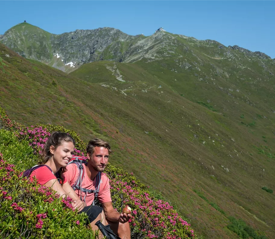
Odpočívadlo uprostřed alpských růží
+3

Camminata nordica

Escursioni e gite in montagna

Sentiero delle malghe sotto il Kellerjoch verso Loas e Naunz

Risorse

12,00 km

585 m

04:30 h

Risorse

Itinerario

12,00 km

585 m

590 m

04:30 h

1844 m

Inizio

Parcheggio Hochpillberg, deviazione Loas

Punto di arrivo

Parcheggio Hochpillberg, deviazione Loas

Strutture collegate

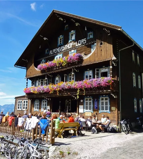
Alpský hostinec Loas
+3

Ristorazione di montagna all’Alpengasthof Loas

Pill

Locanda

Pensione

+1

The Alpengasthof Loas is situated in a particularly peaceful spot at an altitude of 1,680 metres, right in the heart of the alpine pastureland.
parkplatz-symbol-478x477.jpg

Parcheggio Hochpillberg (bivio Loas)

Pill

Parcheggio

Altri tour

180812_ichmachefotos.com_012.jpg
+3

Attraverso la malga Lafasteralm fino al Gilfert

Parzialmente aperto

Wonderful mountain scenery with views of the Karwendel and the Zillertal Alps. Impressive summit cross at the Gilfert!

19,00 km

05:00 h

2500 m

1265 m

Risorse

180812_ichmachefotos.com_012.jpg
+3

Attraverso la malga Lafasteralm fino al Gilfert

Parzialmente aperto

Wonderful mountain scenery with views of the Karwendel and the Zillertal Alps. Impressive summit cross at the Gilfert!

19,00 km

05:00 h

2500 m

1265 m

Risorse

Weg der Sinne
+3

Il percorso dei sensi

Parzialmente aperto

Walk through characteristic alpine landscapes, rediscover your senses and marvel at the 19 works by artists.

5,00 km

02:00 h

1490 m

180 m

Facile

Weg der Sinne
+3

Il percorso dei sensi

Parzialmente aperto

Walk through characteristic alpine landscapes, rediscover your senses and marvel at the 19 works by artists.

5,00 km

02:00 h

1490 m

180 m

Facile

stanerjoch_1.jpg
+2

Escursione allo Stanser Joch

A challenging hike offering stunning views of the main Alpine ridge, with its glaciers, and Lake Achensee to the north.

15,00 km

10:00 h

2098 m

1530 m

1525 m

Difficile

Chata Lamsenjoch
+3

Da Weng al rifugio Lamsenjochhütte

A challenging hike with stunning views.

18,80 km

08:30 h

1945 m

1182 m

1180 m

Risorse