Vai al contenuto
Turistika

Escursioni e gite in montagna

Percorso di Stuhlberg

Facile

4,40 km

110 m

01:30 h

Facile

Itinerario

4,40 km

110 m

01:30 h

1040 m

Inizio

Centro del Parco Naturale del Karwendel

Punto di arrivo

Centro del Parco Naturale del Karwendel

Strutture collegate

Parcheggio Eng

P0 Parcheggio Hinterriß

Vomp

Parcheggio

Parkoviště Eng

Parcheggio Hinterriss

Vomp

Parcheggio

Příroda. Zážitky. Hotel POST Hinterriß
+2

Ristorante Natur.Erlebnis.Hotel POST Hinterriß

Vomp

Bett+Bike

Delizie culinarie e salette tradizionali

+5

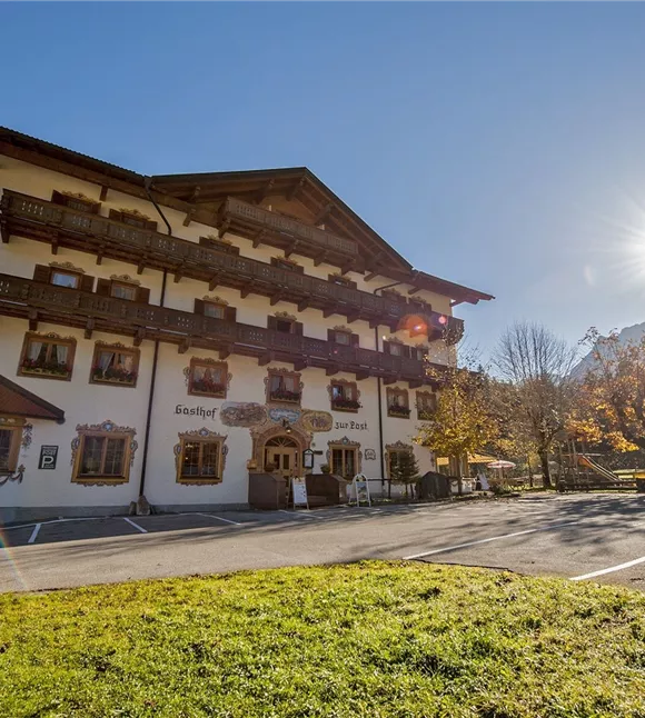
The Natur.Erlebnis.Hotel POST Hinterriss, the motorbike, bike and hiking hotel for your perfect holiday in Tyrol! The Natur.Erlebnis.Hotel POST Hinterriss inspires guests in the morning with a gourmet breakfast buffet and the new vital area with swimming pool, bio sauna, Finnish sauna and relaxation room where you can end the day. Restful sleep in the cozy double rooms and of course with free WiFi throughout the house. In addition to its fantastic location in the middle of the hiking area, the house offers hikers the popular hiking special with a free hiking guide, personal advice on tour planning, maps and a deliciously filled snack box for your daily tour, as well as free entry to the Karwendel Visitor Center, which is only available 2 minutes walk away.  

Altri tour

Pillerův vodopád
+2

Escursione alla cascata del Piller

A romantic walk along the stream in the narrow Pillertal valley, with the waterfall as the highlight.

2,60 km

01:00 h

715 m

155 m

Risorse

Gilfert 7.jpg
+2

Escursione circolare con splendidi panorami verso il Gilfert

The way to the Gilfert via its back side is not as gentle as over the Weerberg. But the ascent to the Gamsstein and the Graukopf off the Gilfert are characterised by particularly characteristic small landscapes of bizarre beauty.

12,50 km

06:30 h

900 m

Difficile

Blick auf den Kuhmesser/Kuhmöser
+3

Dal Loassattel al Kuhmesser

The Kuhmesser/Kuhmöser, standing at 2,264 metres, is a mountain ridge on the Kellerjoch, situated to the south-east.

4,50 km

03:45 h

2261 m

595 m

Risorse

Blick auf den Kuhmesser/Kuhmöser
+3

Dal Loassattel al Kuhmesser

The Kuhmesser/Kuhmöser, standing at 2,264 metres, is a mountain ridge on the Kellerjoch, situated to the south-east.

4,50 km

03:45 h

2261 m

595 m

Risorse

Aussicht vom Panormaweg
+3

Piccolo sentiero panoramico sul Weerberg

The short panoramic trail on the Weerberg – a treat for the whole family.

8,00 km

02:50 h

1575 m

315 m

Facile

Cesta smyslů
+3

Il percorso dei sensi

Parzialmente aperto

Fare escursioni attraverso il caratteristico paesaggio alpino, riscoprire i propri sensi e ammirare le opere di diversi artisti.

5,00 km

02:00 h

1490 m

180 m

Facile