Escursioni e gite in montagna
Escursioni in famiglia
Percorsi per passeggiate ed escursioni nella valle
Percorso circolare del castello di Tratzberg
Facile
6,50 km
175 m
02:00 h
Descrizione
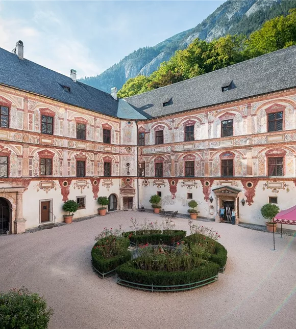
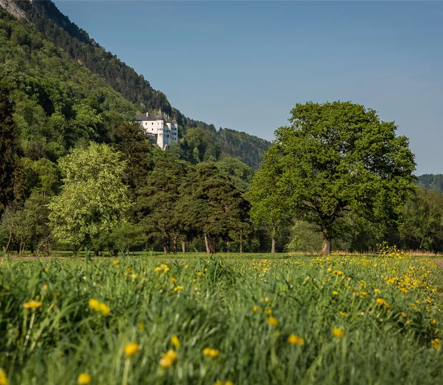
L'escursione parte dal paese di Stans e si snoda lungo un sentiero facile che si snoda sopra la Tratzbergstraße fino al castello di Tratzberg. Il ritorno avviene in piano attraverso i campi fino al punto di partenza.
Miglior stagione
gennaio
febbraio
marzo
aprile
maggio
giugno
luglio
agosto
settembre
ottobre
novembre
dicembre
Profilo e caratteristiche di altezza
Livello tecnico
Condizione
Attrezzature e caratteristiche
Escursione per famiglie
Escursione adatta ai passeggini
Itinerario circolare
Parcheggio
Parcheggio della chiesa di San Lorenzo
Parcheggio
Parcheggio della chiesa di San Lorenzo
Attrezzatura
- Calzature robuste
- Protezione dalla pioggia/dal sole
- Acqua potabile a sufficienza/snack
Attrezzatura
- Calzature robuste
- Protezione dalla pioggia/dal sole
- Acqua potabile a sufficienza/snack
Trasporti pubblici
Treno fino a Stazione di Stans - Percorso a piedi fino al punto di partenza dell'escursione
Pianificazione del percorso in modo semplice tramite l'app VVT-Smartride o il pianificatore di itinerari VVT.
Pianificazione del percorso in modo semplice tramite l'app VVT-Smartride o il pianificatore di itinerari VVT.
Trasporti pubblici
Treno fino a Stazione di Stans - Percorso a piedi fino al punto di partenza dell'escursione
Pianificazione del percorso in modo semplice tramite l'app VVT-Smartride o il pianificatore di itinerari VVT.
Pianificazione del percorso in modo semplice tramite l'app VVT-Smartride o il pianificatore di itinerari VVT.
Guida
Percorso dell'escursione:
- Dal parcheggio presso la chiesa di San Lorenzo, alcune curve conducono in salita fino all’inizio del sentiero nel bosco
- Si prosegue lungo il sentiero nel bosco
- All’incrocio, si sale a sinistra fino al castello di Tratzberg (possibilità di visitare il castello)
- Il ritorno conduce in discesa fino all’incrocio con la Tratzbergstraße.
- Da lì si prosegue lungo i campi fino al punto di partenza.
Guida
Percorso dell'escursione:
- Dal parcheggio presso la chiesa di San Lorenzo, alcune curve conducono in salita fino all’inizio del sentiero nel bosco
- Si prosegue lungo il sentiero nel bosco
- All’incrocio si gira a sinistra in salita fino al castello di Tratzberg (possibilità di visitare il castello)
- Il ritorno conduce in discesa fino all’incrocio con la Tratzbergstraße.
- Da lì si prosegue lungo i campi fino al punto di partenza.
Condizioni del percorso
Strada asfaltata, che poi sfocia in un sentiero escursionistico ben battuto. Percorso adatto per passeggini fuoristrada su tutta la lunghezza.
Condizioni del percorso
Strada asfaltata, che poi sfocia in un sentiero escursionistico ben battuto. Percorso adatto per passeggini fuoristrada su tutta la lunghezza.