Escursione di più giorni (fino a 4 tappe)
Escursioni e gite in montagna
Parco naturale tirolese / Parco nazionale
Il giro del Karwendel
Risorse
41,00 km
1875 m
15:50 h
Descrizione
Giorno 1 - Da Hinterriss al rifugio Falkenhütte
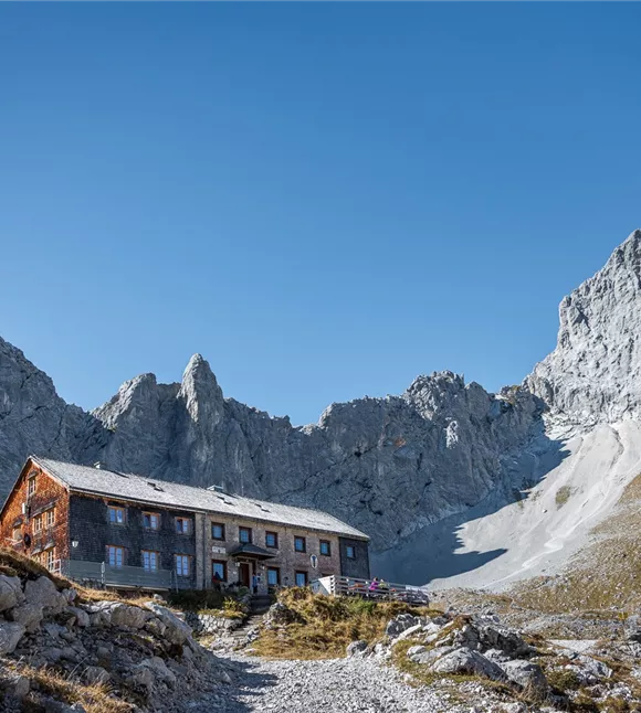
Il punto di partenza è la locanda “Gasthof zur Post” a Hinterriss. Nel centro informazioni dell’«Alpenpark Karwendel» avrete la possibilità, prima di partire, di informarvi sul Karwendel grazie a filmati naturalistici e mostre. Successivamente percorrerete il sentiero 231 nella parte esterna della valle Johannestal fino al Kleiner Ahornboden. Da qui, seguendo le indicazioni per la «Falkenhütte», si entra nel Ladizwald e si raggiunge la Ladizalm, situata in una posizione incantevole; poi, attraverso una serie di tornanti, si sale allo Spielissjoch e si prosegue verso la Falkenhütte. A seconda della voglia e della
Il punto di partenza è la locanda “Gasthof zur Post” a Hinterriss. Nel centro informazioni dell’«Alpenpark Karwendel» avrete la possibilità, prima di partire, di informarvi sul Karwendel grazie a filmati naturalistici e mostre. Successivamente percorrerete il sentiero 231 nella parte esterna della valle Johannestal fino al Kleiner Ahornboden. Da qui, seguendo le indicazioni per la «Falkenhütte», si entra nel Ladizwald e si raggiunge la Ladizalm, situata in una posizione incantevole; poi, attraverso una serie di tornanti, si sale allo Spielissjoch e si prosegue verso la Falkenhütte. A seconda della voglia e della
Miglior stagione
gennaio
febbraio
marzo
aprile
maggio
giugno
luglio
agosto
settembre
ottobre
novembre
dicembre
Profilo e caratteristiche di altezza
Livello tecnico
Condizione
Attrezzature e caratteristiche
Caratteristiche delle escursioni di più giorni
Gesamtverlauf
Parcheggio
In auto:
Parcheggio P0 Hinterriss
- Uscita autostradale A12 Achensee, strada statale B181 dell’Achensee fino al confine dell’Achenpass
- Attraversamento del confine con la Baviera (307) verso il lago Sylvensteinsee, svoltare a sinistra in direzione Vorderriss
- Svoltare a sinistra verso Hinterriss, dopo circa 10 chilometri avrete raggiunto la destinazione
Parcheggio P0 Hinterriss
Attrezzatura
- Calzature robuste
- Protezione dalla pioggia/dal sole
- Acqua potabile a sufficienza/snack
Trasporti pubblici
Condizioni del percorso
Sentieri forestali, sterrati e escursionistici ben curati