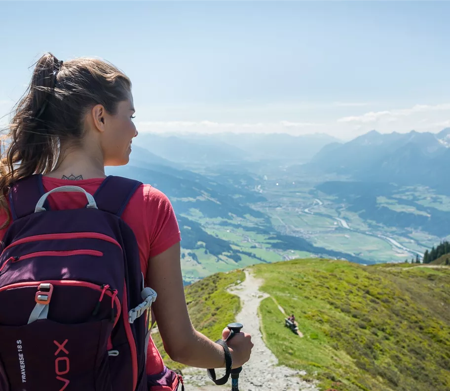
Escursione in vetta
Escursioni all’insegna del piacere
Escursioni e gite in montagna
Percorso permanente dell'Associazione sportiva popolare austriaca
Giro del Kellerjoch (IVV)
Risorse
4,90 km
400 m
02:45 h
Descrizione
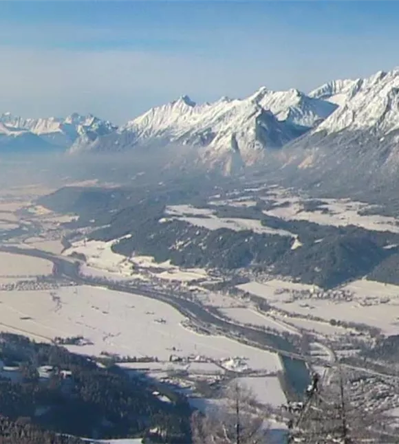
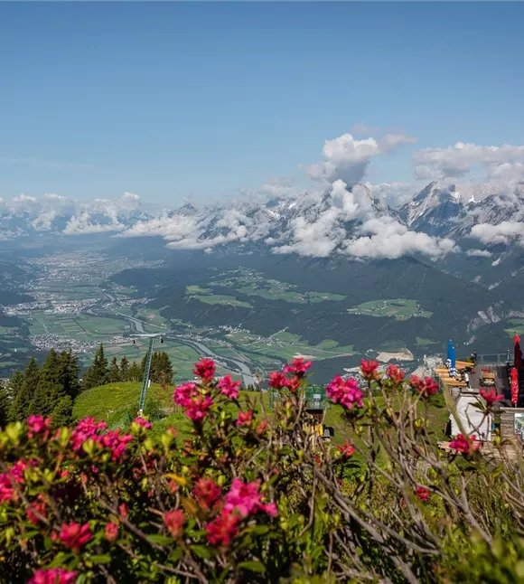
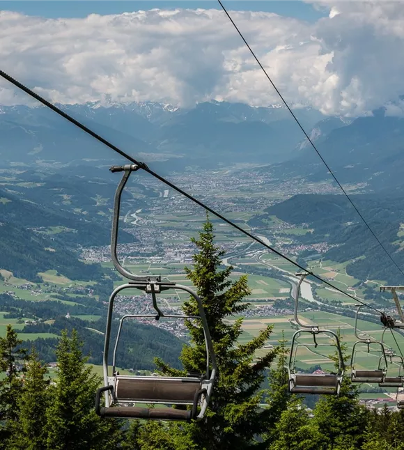
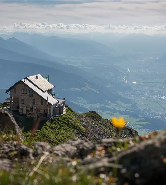
I primi metri di dislivello verso l’Hecherhaus vengono percorsi con la funivia del Kellerjoch (gli escursionisti più allenati hanno naturalmente la possibilità di raggiungere l’Hecherhaus a piedi). Lungo il percorso che attraversa l’Arbeserkogel verso il rifugio Kellerjochhütte, lo sguardo spazia dal Großglockner al Großvenediger e, a nord-ovest, incontra la Zugspitze: una vista panoramica sulle cime e sulle catene montuose più caratteristiche delle Alpi orientali.
Miglior stagione
gennaio
febbraio
marzo
aprile
maggio
giugno
luglio
agosto
settembre
ottobre
novembre
dicembre
Profilo e caratteristiche di altezza
Livello tecnico
Condizione
Attrezzature e caratteristiche
Itinerario circolare
Parcheggio
Parcheggio a pagamento della funivia Kellerjochbahn
Attrezzatura
- Calzature robuste
- Protezione dalla pioggia/dal sole
- Acqua potabile a sufficienza/snack
Attrezzatura
- Calzature robuste
- Protezione dalla pioggia/dal sole
- Acqua potabile a sufficienza/snack
Trasporti pubblici
Treno fino a stazione di Schwaz - Autobus di montagna fino a fermata Hotel Frieden
Pianifica facilmente il percorso tramite l'app VVT Smartride o il Pianificatore di percorso.Trasporti pubblici
Treno fino a stazione di Schwaz - Autobus di montagna fino a fermata Hotel Frieden
Pianifica facilmente il percorso tramite l'app VVT Smartride o il Pianificatore di percorso.Guida
Percorso dell'escursione:
- Con la funivia Kellerjochbahn si sale fino all’Hecherhaus (è possibile anche a piedi)
- Dall’Hecherhaus si prosegue con una pendenza moderata lungo il sentiero Kellerjochweg attraverso l’ Arbeserkogel fino al rifugio Kellerjochhütte
- Per il ritorno si percorre inizialmente lo stesso tragitto fino al sentiero trasversale.
- Si scende poi verso il Naunzstand attraverso i ripidi pendii erbosi esposti a sud-ovest fino al Serpentinensteig per poi proseguire da qui tra i fabbricati alpini fino alla Naunzalm – Hochleger
- Risalendo lungo il sentiero Bockstallweg si torna infine all’Hecherhaus
- Ritorno al parcheggio con la funivia Kellerjochbahn (possibile anche a piedi)
Guida
Percorso dell'escursione:
- Con la funivia Kellerjochbahn si sale fino all’Hecherhaus (è possibile anche a piedi)
- Dall’Hecherhaus si prosegue con una pendenza moderata lungo il sentiero Kellerjochweg attraverso l’ Arbeserkogel fino al rifugio Kellerjochhütte
- Per il ritorno si percorre inizialmente lo stesso tragitto fino al sentiero trasversale.
- Si scende poi verso il Naunzstand attraverso i ripidi pendii erbosi esposti a sud-ovest fino al Serpentinensteig per poi proseguire da qui tra gli edifici alpini fino alla Naunzalm – Hochleger
- Risalendo lungo il sentiero Bockstallweg si torna infine all’Hecherhaus
- Ritorno al parcheggio con la funivia Kellerjochbahn (possibile anche a piedi)
Suggerimento dell'autore
Questa escursione fa parte di un percorso permanente dell’Associazione austriaca per lo sport popolare (ÖVV).
Si tratta di percorsi escursionistici segnalati che puoi percorrere in qualsiasi momento in autonomia, munendoti di una scheda di partenza e di una mappa del percorso. Lungo il percorso ci sono punti di controllo e all’arrivo riceverai un timbro di valutazione IVV per ogni percorso – ideale per la classifica personale di partecipazione e chilometraggio, nonché per vivere esperienze escursionistiche collettive nella natura. Maggiori informazioni su https://oevv-wandern.at/
Si tratta di percorsi escursionistici segnalati che puoi percorrere in qualsiasi momento in autonomia, munendoti di una scheda di partenza e di una mappa del percorso. Lungo il percorso ci sono punti di controllo e all’arrivo riceverai un timbro di valutazione IVV per ogni percorso – ideale per la classifica personale di partecipazione e chilometraggio, nonché per vivere esperienze escursionistiche collettive nella natura. Maggiori informazioni su https://oevv-wandern.at/
Suggerimento dell'autore
Questa escursione fa parte di un percorso permanente dell’Associazione austriaca per lo sport popolare (ÖVV).
Si tratta di percorsi escursionistici segnalati che puoi percorrere in qualsiasi momento in autonomia, munendoti di una scheda di partenza e di una mappa del percorso. Lungo il percorso ci sono punti di controllo e all’arrivo riceverai un timbro di valutazione IVV per ogni percorso – ideale per la classifica personale di partecipazione e chilometraggio, nonché per vivere esperienze escursionistiche collettive nella natura. Maggiori informazioni su https://oevv-wandern.at/
Si tratta di percorsi escursionistici segnalati che puoi percorrere in qualsiasi momento in autonomia, munendoti di una scheda di partenza e di una mappa del percorso. Lungo il percorso ci sono punti di controllo e all’arrivo riceverai un timbro di valutazione IVV per ogni percorso – ideale per la classifica personale di partecipazione e chilometraggio, nonché per vivere esperienze escursionistiche collettive nella natura. Maggiori informazioni su https://oevv-wandern.at/
Condizioni del percorso
Salita