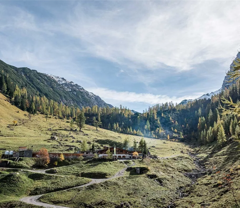
Escursione tra rifugi e malghe
Escursioni all’insegna del piacere
Escursioni e gite in montagna
Escursioni in famiglia
Percorso permanente dell'Associazione sportiva popolare austriaca
Escursione dall’Engalm alla Binsalm (IVV)
Facile
6,20 km
289 m
02:15 h
Descrizione
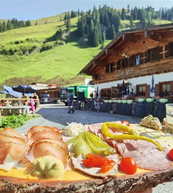
Dalla Eng partono in totale tre sentieri che conducono direttamente alla Binsalm. Una volta arrivati in cima, vi attende la cucina casalinga per rifocillarvi sulla soleggiata terrazza panoramica.
Miglior stagione
gennaio
febbraio
marzo
aprile
maggio
giugno
luglio
agosto
settembre
ottobre
novembre
dicembre
Profilo e caratteristiche di altezza
Livello tecnico
Condizione
Attrezzature e caratteristiche
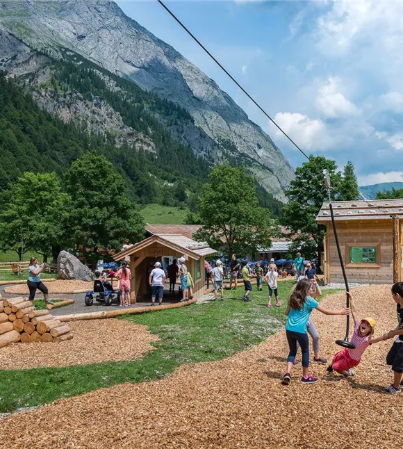
Escursione per famiglie
Parcheggio
In auto:
Parcheggio P10
- Uscita autostradale A12 Achensee, strada statale B181 di Achensee fino al confine del Passo di Achen
- Attraversamento del confine con la Baviera (307) verso il lago Sylvensteinsee, svoltare a sinistra in direzione Vorderriss
- Svoltare a sinistra verso Hinterriss, percorrere la strada a pedaggio fino al parcheggio P10
Parcheggio P10
Attrezzatura
- Calzature robuste
- Protezione dalla pioggia/dal sole
- Acqua potabile a sufficienza e snack
Guida
Percorso dell'escursione:
Variante strada forestale:
Variante strada forestale:
- Dal parcheggio P10, lungo il sentiero didattico del Parco Naturale del Karwendel fino all’Engalm
- Presso il rifugio Engalm, una strada forestale si dirama in direzione sud-est verso la Binsalm e si sale lungo il sentiero descrivendo un ampio arco fino alla Binsalm
- Una scorciatoia per la Binsalm parte subito dietro l’hotel naturalistico DIE ENG su un sentiero inizialmente in forte salita e sfocia poi sulla strada forestale che conduce alla Binsalm
- Per questo percorso occorrono circa 45 minuti
- Un’altra variante per la salita o la discesa è offerta dal Sentiero Panoramico
- Seguendo la strada forestale
Suggerimento dell'autore
Questa escursione (variante: Frostweg) è un percorso permanente dell’Associazione austriaca per lo sport popolare (ÖVV).
Si tratta di percorsi escursionistici segnalati che puoi percorrere in qualsiasi momento in autonomia, munendoti di una scheda di partenza e di una mappa del percorso. Lungo il percorso ci sono punti di controllo e all’arrivo riceverai un timbro di valutazione IVV per ogni percorso – ideale per la classifica personale di partecipazione e chilometraggio, nonché per vivere esperienze escursionistiche collettive nella natura. Maggiori informazioni su https://oevv-wandern.at/
Si tratta di percorsi escursionistici segnalati che puoi percorrere in qualsiasi momento in autonomia, munendoti di una scheda di partenza e di una mappa del percorso. Lungo il percorso ci sono punti di controllo e all’arrivo riceverai un timbro di valutazione IVV per ogni percorso – ideale per la classifica personale di partecipazione e chilometraggio, nonché per vivere esperienze escursionistiche collettive nella natura. Maggiori informazioni su https://oevv-wandern.at/
Condizioni del percorso
Sentiero forestale, sentiero escursionistico (nelle varianti “scorciatoia” e “sentiero panoramico”)