Escursione tra rifugi e malghe
Escursioni all’insegna del piacere
Escursioni e gite in montagna
Percorso permanente dell'Associazione sportiva popolare austriaca
Escursione dal castello di Freundsberg all’Alpengasthof Pirchnerast (IVV)
Facile
9,70 km
571 m
04:00 h
Descrizione
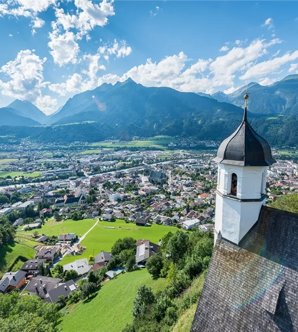
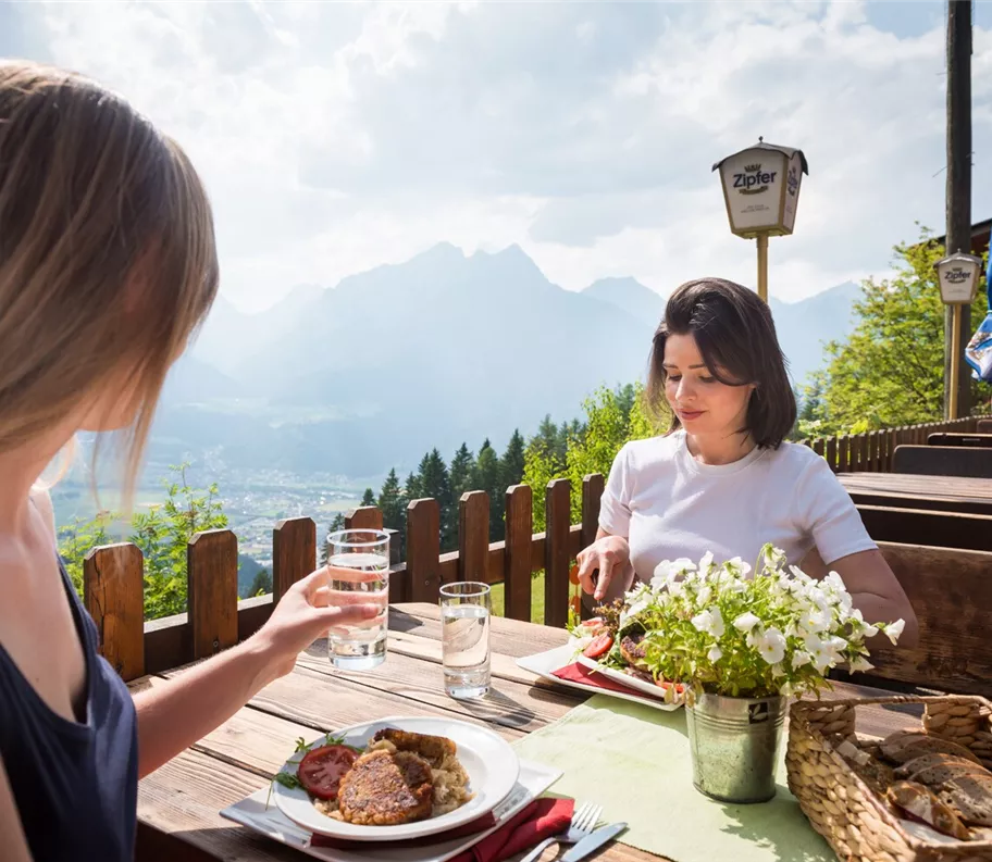
Piacevole escursione sopra Schwaz con possibilità di sosta presso l’Alpengasthof Pirchnerast – un luogo perfetto per concludere l’escursione in tutta tranquillità.
Miglior stagione
gennaio
febbraio
marzo
aprile
maggio
giugno
luglio
agosto
settembre
ottobre
novembre
dicembre
Profilo e caratteristiche di altezza
Livello tecnico
Condizione
Parcheggio
Come arrivare con i mezzi pubblici: Treno fino alla stazione di Schwaz, autobus regionale fino alla fermata Zintberg Rote Bank e poi a piedi fino al punto di partenza
In auto: Autostrada A12 Inntalautobahn, uscita Schwaz, proseguire fino al parcheggio del castello di Freundsberg
Parcheggio del castello di Freundsberg
In auto: Autostrada A12 Inntalautobahn, uscita Schwaz, proseguire fino al parcheggio del castello di Freundsberg
Parcheggio del castello di Freundsberg
Attrezzatura
- Calzature robuste
- Protezione dalla pioggia/dal sole
- Acqua potabile a sufficienza/snack
Trasporti pubblici
Treno fino a stazione di Schwaz, Regiobus fino a fermata Zintberg Rote Bank
Pianifica facilmente il percorso tramite l'app VVT-Smartride oppure il pianificatore di percorso VVT.
Pianifica facilmente il percorso tramite l'app VVT-Smartride oppure il pianificatore di percorso VVT.
Guida
Percorso dell'escursione:
- L'escursione inizia presso il castello di Freundsberg
- Da lì si segue la pista da slittino Schmadlegg in direzione di Egertboden
- A Egertboden si prende il bivio in direzione "Hohes Kreuz" (seguendo i cartelli indicatori)
- Da lì si prosegue in direzione di Petrach
- Successivamente si prosegue lungo l’Ernst-Stauder-Steig fino alla Pirchnerast
- Ritorno lungo lo stesso percorso
Suggerimento dell'autore
Questa escursione fa parte di un percorso permanente dell’Associazione austriaca per lo sport popolare (ÖVV).
Si tratta di percorsi escursionistici segnalati che puoi percorrere in qualsiasi momento in autonomia, munendoti di una scheda di partenza e di una mappa del percorso. Lungo il percorso ci sono punti di controllo e all’arrivo riceverai un timbro di valutazione IVV per ogni percorso – ideale per la classifica personale di partecipazione e chilometraggio, nonché per vivere esperienze escursionistiche collettive nella natura. Maggiori informazioni su https://oevv-wandern.at/
Si tratta di percorsi escursionistici segnalati che puoi percorrere in qualsiasi momento in autonomia, munendoti di una scheda di partenza e di una mappa del percorso. Lungo il percorso ci sono punti di controllo e all’arrivo riceverai un timbro di valutazione IVV per ogni percorso – ideale per la classifica personale di partecipazione e chilometraggio, nonché per vivere esperienze escursionistiche collettive nella natura. Maggiori informazioni su https://oevv-wandern.at/