Vai al contenuto
Stallental
+3

Escursioni all’insegna del piacere

Escursioni e gite in montagna

Escursione da Bärenrast al rifugio Lamsenjochhütte fino a Eng

Risorse

14,00 km

965 m

06:15 h

Descrizione

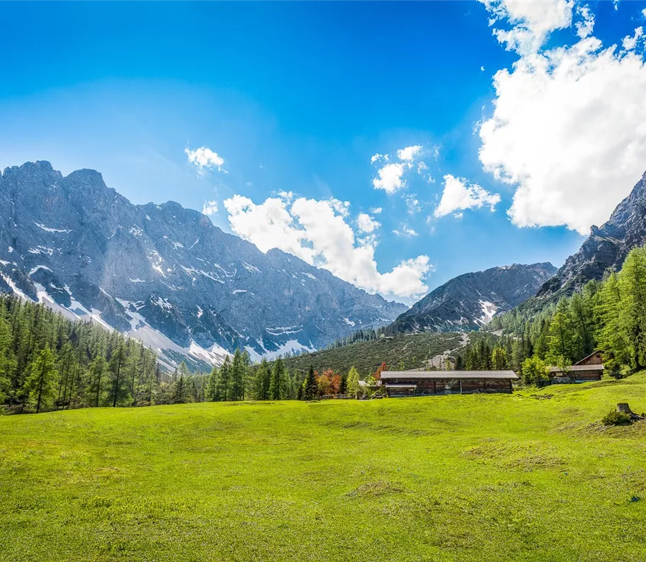
Questa escursione mozzafiato parte dal Bärenrast e si snoda inizialmente in modo tranquillo attraverso un imponente bosco di gola, per poi attraversare vasti paesaggi alpini fino ad arrivare in alta montagna al rifugio Lamsenjochhütte (1.935 m). Questo itinerario è concepito come una traversata e conduce nel cuore del Parco Naturale del Karwendel, il più grande parco naturale dell’Austria. Dopo una lunga pausa pranzo al rifugio Lamsenjochhütte, scendiamo verso Eng – il più grande villaggio alpino del Tirolo – in direzione del Großer Ahornboden.

Durante i mesi estivi, ogni mercoledì è possibile tornare a Stans con l’autobus di

Risorse

Itinerario

14,00 km

965 m

752 m

06:15 h

1949 m

Inizio

Parcheggio Bärenrast

Punto di arrivo

Eng Alm

Strutture collegate

021_20261015_tvb.jpg
+2

Negozio agricolo Eng Alm

Vomp

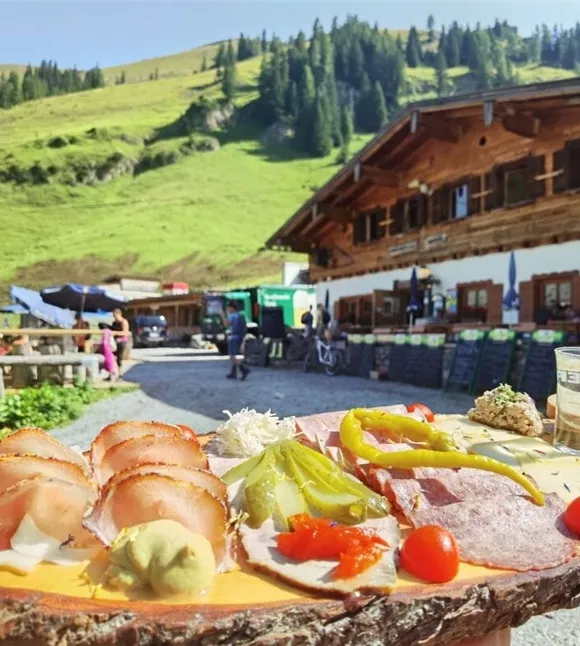
Merenda tirolese

Parco naturale tirolese / Parco nazionale

+1

Real "palate yodelers" to taste and take home with you. Our delicacies: the best of fresh mountain green, mountain cattle and native Karwendel game.
Svačina s chlebem na horské chatě Binsalm
+3

Binsalm

Vomp

Capanna

Malga

+1

A family-friendly mountain hut above the Großer Ahornboden – accessible via a lovely walking trail (approx. 40 minutes) with views of the Großer Ahornboden.
Chata Lamsenjoch uprostřed pohoří Karwendel
+3

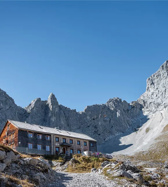
Rifugio Lamsenjoch

Vomp

Malga

Parco naturale tirolese / Parco nazionale

+3

Situated at 1,953 metres – at the foot of the Lamsenspitze, right in the heart of the Karwendel.
parkplatz-symbol-478x477.jpg

Parcheggio Bärenrast

Vomp

Parcheggio

Silberregion Karwendel

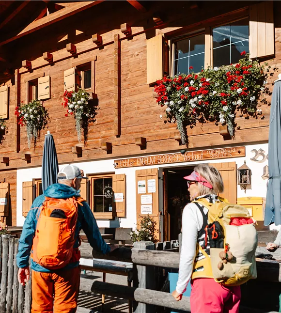
Rifugio Eng Alm

Vomp

Merenda tirolese

Rifugio / Ristorazione di montagna

+1

The restaurant is open from the beginning of May to the end of October and offers its guests warm meals and specialities from Tyrol all day long in a cosy restaurant, in the self-service area or on the large sun terrace.

Altri tour

Pillerův vodopád
+2

Escursione alla cascata del Piller

A romantic walk along the stream in the narrow Pillertal valley, with the waterfall as the highlight.

2,60 km

01:00 h

715 m

155 m

Risorse

Gilfert 7.jpg
+2

Escursione circolare con splendidi panorami verso il Gilfert

The way to the Gilfert via its back side is not as gentle as over the Weerberg. But the ascent to the Gamsstein and the Graukopf off the Gilfert are characterised by particularly characteristic small landscapes of bizarre beauty.

12,50 km

06:30 h

900 m

Difficile

Blick auf den Kuhmesser/Kuhmöser
+3

Dal Loassattel al Kuhmesser

The Kuhmesser/Kuhmöser, standing at 2,264 metres, is a mountain ridge on the Kellerjoch, situated to the south-east.

4,50 km

03:45 h

2261 m

595 m

Risorse

Blick auf den Kuhmesser/Kuhmöser
+3

Dal Loassattel al Kuhmesser

The Kuhmesser/Kuhmöser, standing at 2,264 metres, is a mountain ridge on the Kellerjoch, situated to the south-east.

4,50 km

03:45 h

2261 m

595 m

Risorse

Aussicht vom Panormaweg
+3

Piccolo sentiero panoramico sul Weerberg

The short panoramic trail on the Weerberg – a treat for the whole family.

8,00 km

02:50 h

1575 m

315 m

Facile

Cesta smyslů
+3

Il percorso dei sensi

Parzialmente aperto

Fare escursioni attraverso il caratteristico paesaggio alpino, riscoprire i propri sensi e ammirare le opere di diversi artisti.

5,00 km

02:00 h

1490 m

180 m

Facile