Vai al contenuto
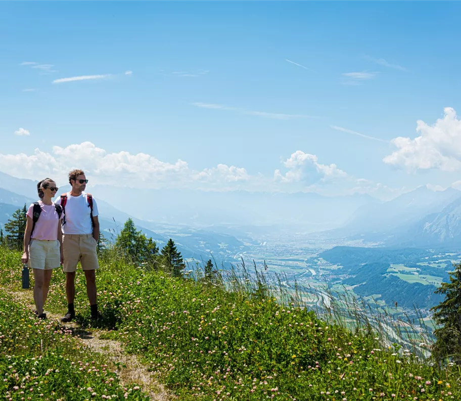
Wandern mit Blick ins Inntal
+5

Escursione in vetta

Escursione tra rifugi e malghe

Escursioni e gite in montagna

Escursionismo alpino

Escursione ad anello sul Kellerjoch, la vetta panoramica più bella delle Alpi di Tux

Risorse

14,40 km

955 m

06:50 h

Risorse

Itinerario

14,40 km

955 m

950 m

06:50 h

2234 m

Inizio

Parcheggio della funivia Kellerjochbahn

Punto di arrivo

Parcheggio della funivia Kellerjochbahn
Impressioni

Strutture collegate

original.jpg

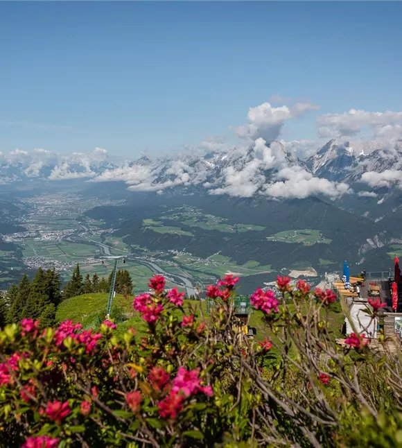
Vista dall'Hecherhaus

Schwaz

Webcam

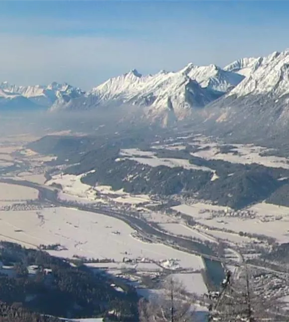
The webcam at the Hecherhaus shows the beautiful view over the Inn Valley towards Innsbruck.
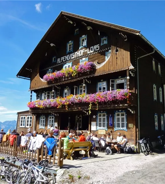
Alpský hostinec Loas
+3

Ristorazione di montagna all’Alpengasthof Loas

Pill

Locanda

Pensione

+1

The Alpengasthof Loas is situated in a particularly peaceful spot at an altitude of 1,680 metres, right in the heart of the alpine pastureland.
Ausblick vom Hecherhaus
+3

Ristorante di montagna Hecherhaus

Schwaz

proprietario

Rifugio / Ristorazione di montagna

+2

The Hecher house in theThe Hecherhaus, with its large sun terrace, is situated right next to the top station of the Kellerjochbahn and offers a stunning view over the Inn Valley and the Karwendel Mountains opposite.
Kellerjochbahn
+3

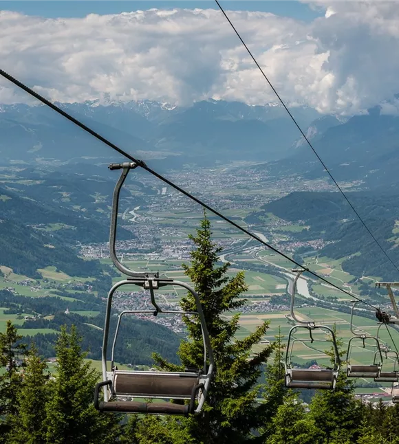
La funivia del Kellerjoch in estate

Pill

Aziende partner

Funivia

+1

In summer, the Kellerjochbahn Lift whisks you up to almost 2,000 metres above sea level.
Chata Kellerjoch s výhledem do údolí řeky Inn
+3

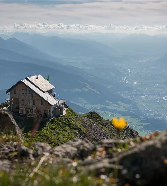
Rifugio Kellerjoch

Schwaz

Gioielli e luoghi energetici

Malga

+2

High above Schwaz at 2,237 metres: the Kellerjochhütte offers alpine hospitality, breathtaking views and culinary delights.
parkplatz-symbol-478x477.jpg

Parcheggio Hochpillberg (bivio Loas)

Pill

Parcheggio

Altri tour

Pillerův vodopád
+2

Escursione alla cascata del Piller

A romantic walk along the stream in the narrow Pillertal valley, with the waterfall as the highlight.

2,60 km

01:00 h

715 m

155 m

Risorse

Gilfert 7.jpg
+2

Escursione circolare con splendidi panorami verso il Gilfert

The way to the Gilfert via its back side is not as gentle as over the Weerberg. But the ascent to the Gamsstein and the Graukopf off the Gilfert are characterised by particularly characteristic small landscapes of bizarre beauty.

12,50 km

06:30 h

900 m

Difficile

Blick auf den Kuhmesser/Kuhmöser
+3

Dal Loassattel al Kuhmesser

The Kuhmesser/Kuhmöser, standing at 2,264 metres, is a mountain ridge on the Kellerjoch, situated to the south-east.

4,50 km

03:45 h

2261 m

595 m

Risorse

Blick auf den Kuhmesser/Kuhmöser
+3

Dal Loassattel al Kuhmesser

The Kuhmesser/Kuhmöser, standing at 2,264 metres, is a mountain ridge on the Kellerjoch, situated to the south-east.

4,50 km

03:45 h

2261 m

595 m

Risorse

Aussicht vom Panormaweg
+3

Piccolo sentiero panoramico sul Weerberg

The short panoramic trail on the Weerberg – a treat for the whole family.

8,00 km

02:50 h

1575 m

315 m

Facile

Cesta smyslů
+3

Il percorso dei sensi

Parzialmente aperto

Fare escursioni attraverso il caratteristico paesaggio alpino, riscoprire i propri sensi e ammirare le opere di diversi artisti.

5,00 km

02:00 h

1490 m

180 m

Facile