Escursione "Nature Watch"
Escursione tra rifugi e malghe
Escursioni e gite in montagna
Escursionismo alpino
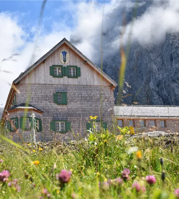
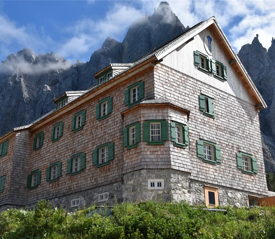
Da Eng, passando per l’Hohljoch, fino al rifugio Falkenhütte
Risorse
14,00 km
880 m
06:20 h
Descrizione
Le pareti di Laliderer sono tra le formazioni rocciose più suggestive di tutto il massiccio del Karwendel e affascinano sia gli amanti della natura che gli escursionisti. Non smettono mai di affascinare con il loro aspetto imponente: alte fino a 900 metri , le pareti calcaree a strapiombo scendono ripide verso la valle e caratterizzano il paesaggio.
Miglior stagione
gennaio
febbraio
marzo
aprile
maggio
giugno
luglio
agosto
settembre
ottobre
novembre
dicembre
Profilo e caratteristiche di altezza
Livello tecnico
Condizione
Parcheggio
In auto:
Parcheggio P10
- Uscita autostradale A12 Achensee, strada statale B181 di Achensee fino al confine del Passo di Achen
- Attraversamento del confine con la Baviera (307) verso il lago Sylvensteinsee, svoltare a sinistra in direzione Vorderriss
- Svoltare a sinistra verso Hinterriss, percorrere la strada a pedaggio fino al parcheggio P10
Parcheggio P10
Attrezzatura
- Calzature robuste
- Protezione dalla pioggia/dal sole
- Acqua potabile a sufficienza/snack
Guida
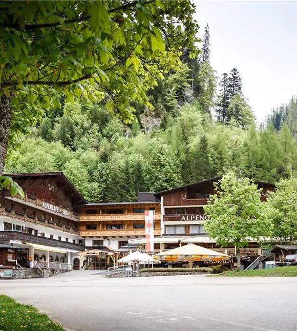
- Dal parcheggio P10 la strada forestale conduce alle Engalmen
- Dagli Engalmen un sentiero escursionistico conduce all’Hohljoch
- Sotto le Laliderer Wände si prosegue lungo il sentiero escursionistico fino allo Spielissjoch e poi in salita fino al rifugio Falkenhütte
- Ritorno lungo lo stesso percorso
Condizioni del percorso
Sentiero forestale, sentiero escursionistico