Vai al contenuto
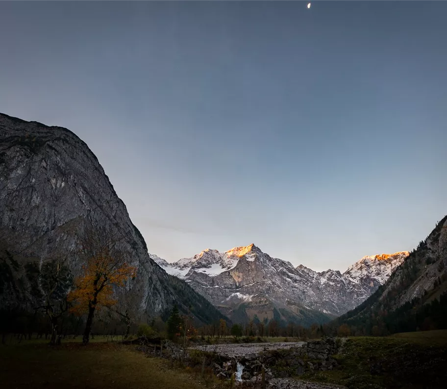
přírodní kulisa
+3

Camminata nordica

Escursioni all’insegna del piacere

Escursioni e gite in montagna

Da Eng a Enger Grund

Facile

7,00 km

205 m

02:15 h

Facile

Itinerario

7,00 km

205 m

195 m

02:15 h

1475 m

Inizio

Parcheggio P10, Eng

Punto di arrivo

Terreno stretto

Strutture collegate

021_20261015_tvb.jpg
+2

Negozio agricolo Eng Alm

Vomp

Merenda tirolese

Parco naturale tirolese / Parco nazionale

+1

Real "palate yodelers" to taste and take home with you. Our delicacies: the best of fresh mountain green, mountain cattle and native Karwendel game.
Parkplatz Eng

Parcheggio P10

Vomp

Parcheggio

Silberregion Karwendel

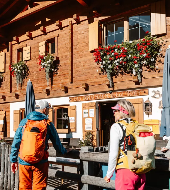
Rifugio Eng Alm

Vomp

Merenda tirolese

Rifugio / Ristorazione di montagna

+1

The restaurant is open from the beginning of May to the end of October and offers its guests warm meals and specialities from Tyrol all day long in a cosy restaurant, in the self-service area or on the large sun terrace.

Altri tour

wehn_115498.jpg

Sull'Hochnissl

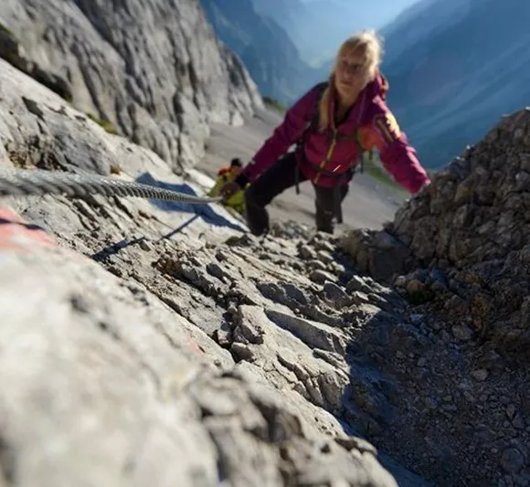
Very long, very steep and enormously beautiful. The basic requirements are surefootedness and a sense of orientation in the pathless scree.

6,10 km

2542 m

1682 m

Difficile

wehn_115498.jpg

Sull'Hochnissl

Very long, very steep and enormously beautiful. The basic requirements are surefootedness and a sense of orientation in the pathless scree.

6,10 km

2542 m

1682 m

Difficile

Ruine Rettenberg 01.JPG

Acque curative e rovine di castelli

Parzialmente aperto

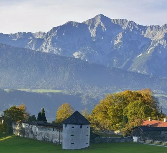
Da Kolsass alla cappella di Lourdes c’è un buon chilometro, da lì alle rovine di Rettenberg altri circa 2 km. La variante 1, più breve, riporta al punto di partenza dopo ben 4 km. Percorso totale: circa 7 km.

7,50 km

761 m

358 m

Ruine Rettenberg 01.JPG

Acque curative e rovine di castelli

Parzialmente aperto

Da Kolsass alla cappella di Lourdes c’è un buon chilometro, da lì alle rovine di Rettenberg altri circa 2 km. La variante 1, più breve, riporta al punto di partenza dopo ben 4 km. Percorso totale: circa 7 km.

7,50 km

761 m

358 m

Býk u naleziště stříbra
+10

Sentiero dei minatori di Schwaz

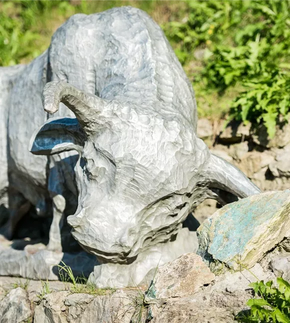
A journey through the mining industry of Schwaz.

2,60 km

01:00 h

682 m

120 m

115 m

Facile

Býk u naleziště stříbra
+10

Sentiero dei minatori di Schwaz

A journey through the mining industry of Schwaz.

2,60 km

01:00 h

682 m

120 m

115 m

Facile