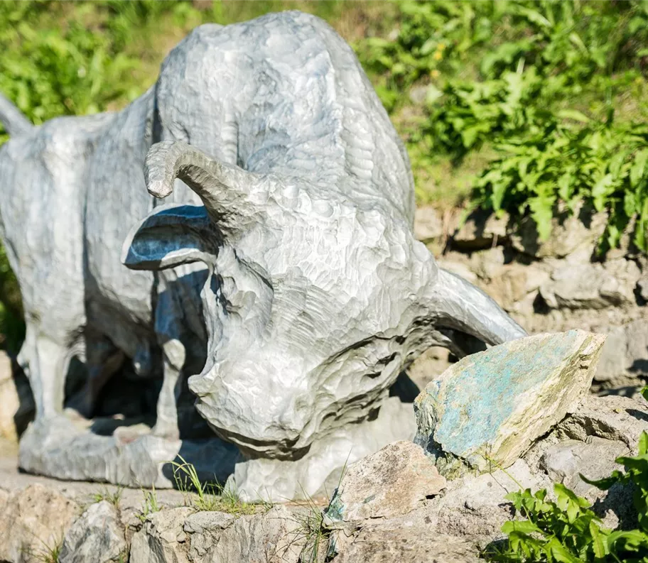
Býk u naleziště stříbra
+5

Parcours thématique

Randonnée et excursion en montagne

Randonnées en famille

Sentiers de promenade et de randonnée dans la vallée

Sentier des mineurs de Schwaz

Facile

2,60 km

120 m

01:00 h

Facile

Itinéraire

2,60 km

120 m

115 m

01:00 h

682 m

commencer

Parking Silberwald

Point d’arrivée

Parking Silberwald

Impressions

Équipements à proximité

parkplatz-symbol-478x477.jpg

Parking Silberwald à Schwaz

Schwaz

Parking

230619_ichmachefotos.com_333.jpg

Restaurant Knappenkuchl

Schwaz

Restaurant

Restauration

+1

Ouvert jusqu’à - 06:00 PM

181114_ichmachefotos.com_066_kopie_web.jpg

Restaurant Silberberg

Schwaz

Restaurant

Restauration

Ouvert jusqu’à - 11:00 PM

Silberregion Karwendel

Cimetière de Schwaz

Schwaz

arrêt

Schwazer_Silberwald2.jpg
+8

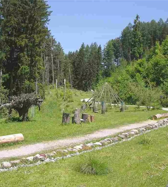
La forêt argentée de Schwaz

Schwaz

Aire de jeux

joyau naturel

+2

The "Silver Forest" of Schwaz.
Prohlídka stříbrného dolu ve Schwazu
+6

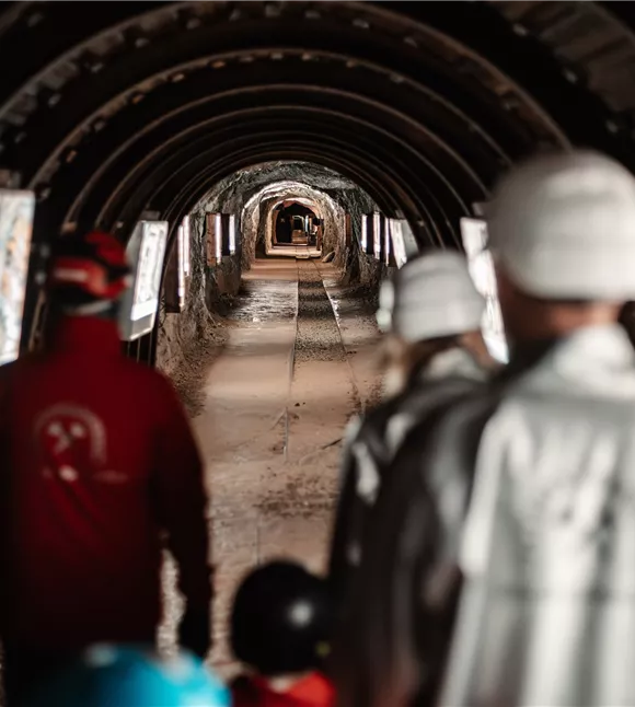
Mine d'argent de Schwaz

Schwaz

Destination d'excursion

Entreprises partenaires

+1

Follow the silver trail and discover interesting facts about silver, ore and salt.

Plus de visites

Pillerův vodopád
+2

Randonnée vers la cascade du Piller

A romantic walk along the stream in the narrow Pillertal valley, with the waterfall as the highlight.

2,60 km

01:00 h

715 m

155 m

Gilfert 7.jpg
+2

Randonnée circulaire offrant de superbes points de vue vers le Gilfert

The way to the Gilfert via its back side is not as gentle as over the Weerberg. But the ascent to the Gamsstein and the Graukopf off the Gilfert are characterised by particularly characteristic small landscapes of bizarre beauty.

12,50 km

06:30 h

900 m

Difficile

Blick auf den Kuhmesser/Kuhmöser
+3

Du col du Loassattel au Kuhmesser

The Kuhmesser/Kuhmöser, standing at 2,264 metres, is a mountain ridge on the Kellerjoch, situated to the south-east.

4,50 km

03:45 h

2261 m

595 m

Blick auf den Kuhmesser/Kuhmöser
+3

Du col du Loassattel au Kuhmesser

The Kuhmesser/Kuhmöser, standing at 2,264 metres, is a mountain ridge on the Kellerjoch, situated to the south-east.

4,50 km

03:45 h

2261 m

595 m

Schafherde
+3

Sentier de détente de Terfens

A leisurely stroll around Terfens.

01:00 h

640 m

75 m

70 m

Facile

Aussicht vom Panormaweg
+3

Petit sentier panoramique du Weerberg

The short panoramic trail on the Weerberg – a treat for the whole family.

8,00 km

02:50 h

1575 m

315 m

Facile