Parcours permanent de l'Association autrichienne des sports populaires
Randonnée entre refuges et alpages
Randonnée et excursion en montagne
Randonnées en famille
Randonnées plaisir
Randonnée de l'Engalm à la Binsalm (IVV)
Facile
6,20 km
289 m
02:15 h
Description
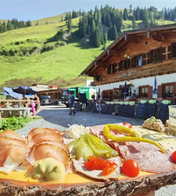
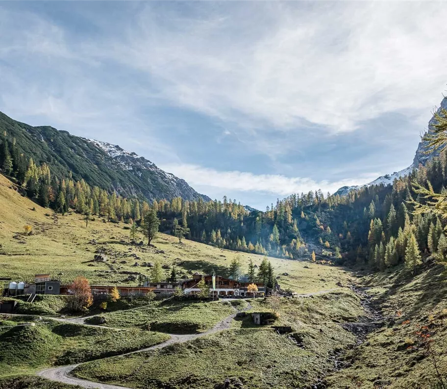
Depuis l'Eng, trois sentiers mènent directement à la Binsalm. Une fois au sommet, une cuisine traditionnelle vous attend pour vous restaurer sur la terrasse panoramique ensoleillée.
Meilleure saison
janvier
février
mars
avril
mai
juin
juillet
août
septembre
octobre
novembre
décembre
Profil d'élévation et caractéristiques
Niveau technique
Condition physique
Équipement et fonctionnalités
Randonnée en famille
Parking
En voiture :
Parking P10
- Sortie d'autoroute A12 Achensee, route nationale B181 d'Achensee jusqu'à la frontière du col d'Achen
- Passage de la frontière vers la Bavière (307) jusqu’au lac de Sylvenstein, tourner à gauche en direction de Vorderriss
- Tourner à gauche vers Hinterriss, emprunter la route à péage jusqu’au parking P10
Parking P10
Équipements
- Chaussures robustes
- Vêtements imperméables / protection solaire
- Eau potable en quantité suffisante et en-cas
Instructions
Itinéraire :
Variante par le chemin forestier :
Variante par le chemin forestier :
- Depuis le parking P10, empruntez le sentier pédagogique du parc naturel du Karwendel jusqu’à l’Engalm
- Au refuge de l’Engalm, un chemin forestier bifurque vers le sud-est en direction de la Binsalm ; on remonte alors en décrivant un grand arc le long de ce chemin jusqu’à la Binsalm
- Un raccourci vers la Binsalm part juste derrière l’hôtel nature DIE ENG par un sentier initialement en forte montée puis débouche sur la route forestière menant à la Binsalm
- Ce parcours prend environ 45 minutes
- Le sentier
Conseil de l'auteur
Cette randonnée (variante : Frostweg) fait partie du réseau permanent de sentiers de l'Association autrichienne des sports populaires (ÖVV).
Il s'agit de parcours balisés que tu peux parcourir à tout moment en toute autonomie, à l'aide d'une carte de départ et d'un plan du parcours. Des points de contrôle sont prévus le long du parcours et, à l'arrivée, tu recevras un tampon de classement IVV pour chaque parcours – idéal pour ton classement personnel en termes de participation et de kilomètres parcourus, ainsi que pour partager des expériences de randonnée en pleine nature. Plus d’informations sur https://oevv-wandern.at/
Il s'agit de parcours balisés que tu peux parcourir à tout moment en toute autonomie, à l'aide d'une carte de départ et d'un plan du parcours. Des points de contrôle sont prévus le long du parcours et, à l'arrivée, tu recevras un tampon de classement IVV pour chaque parcours – idéal pour ton classement personnel en termes de participation et de kilomètres parcourus, ainsi que pour partager des expériences de randonnée en pleine nature. Plus d’informations sur https://oevv-wandern.at/
État du chemin
Chemin forestier, sentier de randonnée (pour les variantes « raccourci » et « sentier panoramique »)