Randonnée et excursion en montagne
Randonnées plaisir
Randonnée Bärenrast - refuge du Lamsenjoch - Eng
Moyen
14,00 km
965 m
06:15 h
Description
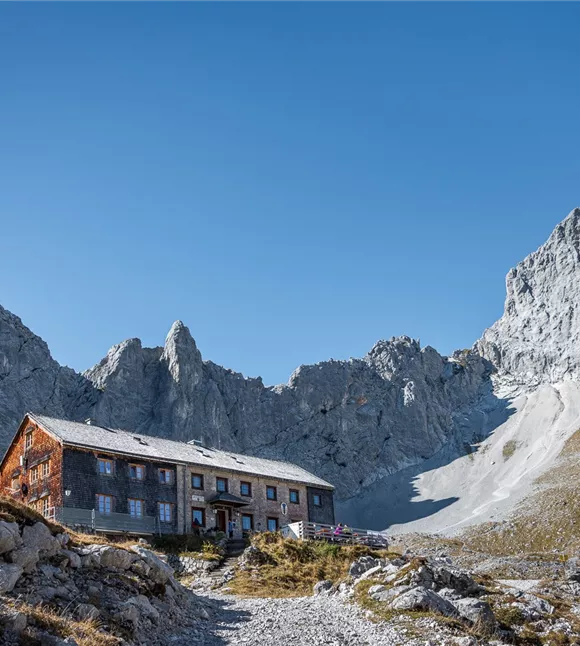
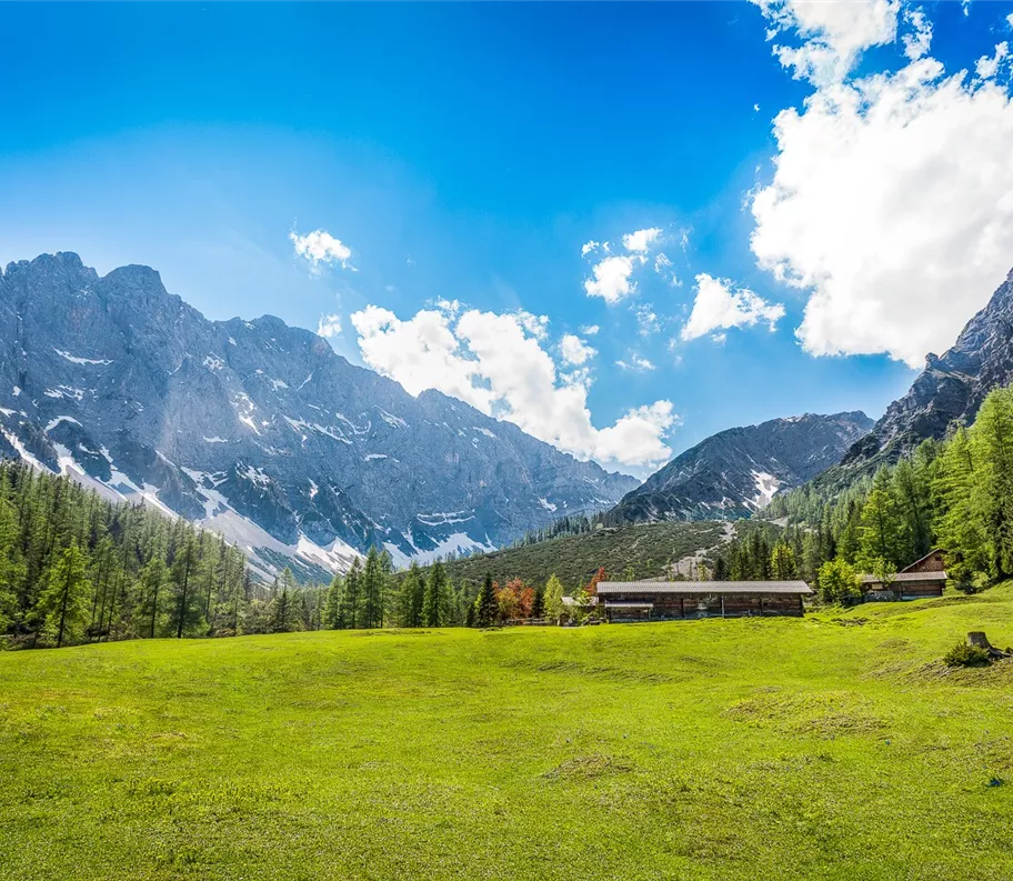
Cette randonnée à couper le souffle part du Bärenrast et traverse d'abord tranquillement une imposante forêt de gorge, avant de s'élever à travers de vastes paysages d'alpage vers la haute montagne alpine jusqu'au refuge du Lamsenjoch (1 935 m). Ce circuit est conçu comme une traversée et mène au cœur du parc naturel du Karwendel, le plus grand parc naturel d’Autriche. Après une longue pause déjeuner au refuge Lamsenjochhütte, nous descendons vers l’Eng – le plus grand village d’alpage du Tyrol – en direction du Großer Ahornboden.
Pendant les mois d’été, il est possible, tous les mercredis, de
Pendant les mois d’été, il est possible, tous les mercredis, de
Meilleure saison
janvier
février
mars
avril
mai
juin
juillet
août
septembre
octobre
novembre
décembre
Profil d'élévation et caractéristiques
Niveau technique
Condition physique
Parking
En voiture : Autoroute A12 de la vallée de l'Inn, sortie Schwaz, route en direction de Stans jusqu'au parking Bärenrast
Parking Bärenrast
Parking Bärenrast
Parking
En voiture : Autoroute A12 de la vallée de l'Inn, sortie Schwaz, route en direction de Stans jusqu'au parking Bärenrast
Parking Bärenrast
Parking Bärenrast
Équipements
- Chaussures robustes
- Vêtements imperméables / protection solaire
- Eau potable et en-cas en quantité suffisante
Équipements
- Chaussures robustes
- Vêtements imperméables / protection solaire
- Eau potable et en-cas en quantité suffisante
État du chemin
Itinéraire :
- Depuis le parking de Bärenrast, le long d'une forêt encaissée
- Le long de la vallée de Stallental, avec ses parois rocheuses imposantes
- Après la Stallenalm, montée jusqu’au refuge du Lamsenjoch
- De là, descente en direction d’Eng
- En passant par la Binsalm, descente vers l’Eng
État du chemin
Itinéraire :
- Depuis le parking de Bärenrast, le long d'une forêt encaissée
- Le long de la vallée de Stallental, avec ses parois rocheuses imposantes
- Après la Stallenalm, montée jusqu’au refuge du Lamsenjoch
- De là, descente en direction d’Eng
- En passant par la Binsalm, descente vers l’Eng