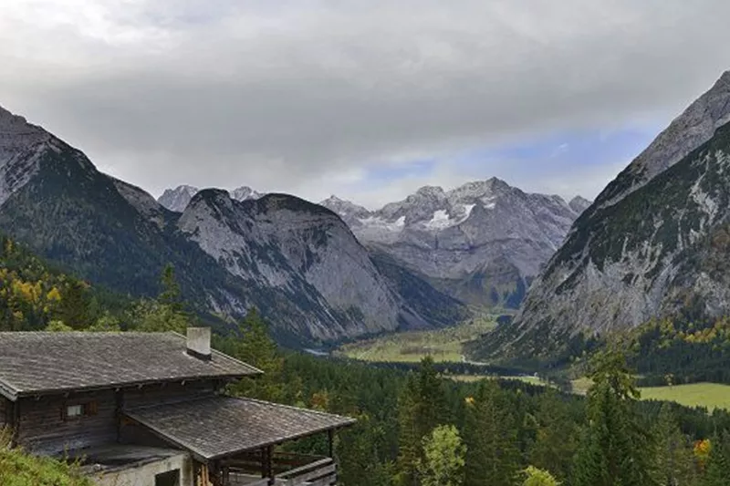
Hasental-Alm Niederleger.jpg
+2

Randonnée et excursion en montagne

Pour profiter d'une vue imprenable sur l'Ahornboden

Difficile

12,30 km

899 m

Difficile

Itinéraire

12,30 km

899 m

1926 m

Plus de visites

Pillerův vodopád
+2

Randonnée vers la cascade du Piller

A romantic walk along the stream in the narrow Pillertal valley, with the waterfall as the highlight.

2,60 km

01:00 h

715 m

155 m

Gilfert 7.jpg
+2

Randonnée circulaire offrant de superbes points de vue vers le Gilfert

The way to the Gilfert via its back side is not as gentle as over the Weerberg. But the ascent to the Gamsstein and the Graukopf off the Gilfert are characterised by particularly characteristic small landscapes of bizarre beauty.

12,50 km

06:30 h

900 m

Difficile

Blick auf den Kuhmesser/Kuhmöser
+3

Du col du Loassattel au Kuhmesser

The Kuhmesser/Kuhmöser, standing at 2,264 metres, is a mountain ridge on the Kellerjoch, situated to the south-east.

4,50 km

03:45 h

2261 m

595 m

Blick auf den Kuhmesser/Kuhmöser
+3

Du col du Loassattel au Kuhmesser

The Kuhmesser/Kuhmöser, standing at 2,264 metres, is a mountain ridge on the Kellerjoch, situated to the south-east.

4,50 km

03:45 h

2261 m

595 m

Aussicht vom Panormaweg
+3

Petit sentier panoramique du Weerberg

The short panoramic trail on the Weerberg – a treat for the whole family.

8,00 km

02:50 h

1575 m

315 m

Facile

Cesta smyslů
+3

Le parcours des sens

Partiellement ouvert

Se promener au cœur d'un paysage alpin typique, redécouvrir ses sens et admirer les œuvres de différents artistes.

5,00 km

02:00 h

1490 m

180 m

Facile




