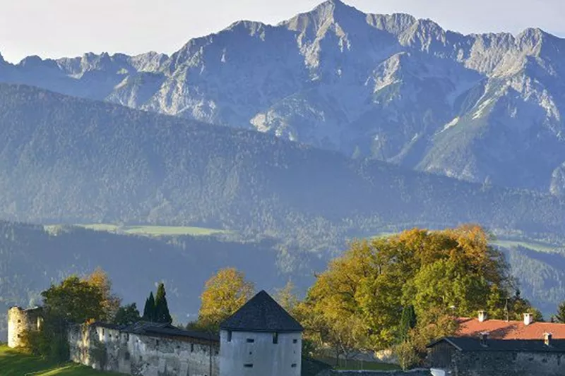
Ruine Rettenberg 01.JPG

Randonnée et excursion en montagne

Randonnées en famille

Partiellement ouvert

Eaux curatives et ruines de château

7,50 km

358 m

Description

Il y a un bon kilomètre entre Kolsass et la chapelle de Lourdes, puis encore environ 2 km de là jusqu'aux ruines de Rettenberg. La variante 1, plus courte, permet de revenir au point de départ en un peu plus de 4 km. Distance totale : environ 7 km.

Informations de fermeture

Le passage du pont suspendu avant est rendu difficile en raison de travaux.

Informations de redirection

Alternative en fonction de la météo : circuit combiné de ponts suspendus (parcours plus long)

Itinéraire

7,50 km

358 m

761 m

Plus de visites

Pillerův vodopád
+2

Randonnée vers la cascade du Piller

A romantic walk along the stream in the narrow Pillertal valley, with the waterfall as the highlight.

2,60 km

01:00 h

715 m

155 m

Gilfert 7.jpg
+2

Randonnée circulaire offrant de superbes points de vue vers le Gilfert

The way to the Gilfert via its back side is not as gentle as over the Weerberg. But the ascent to the Gamsstein and the Graukopf off the Gilfert are characterised by particularly characteristic small landscapes of bizarre beauty.

12,50 km

06:30 h

900 m

Difficile

Blick auf den Kuhmesser/Kuhmöser
+3

Du col du Loassattel au Kuhmesser

The Kuhmesser/Kuhmöser, standing at 2,264 metres, is a mountain ridge on the Kellerjoch, situated to the south-east.

4,50 km

03:45 h

2261 m

595 m

Blick auf den Kuhmesser/Kuhmöser
+3

Du col du Loassattel au Kuhmesser

The Kuhmesser/Kuhmöser, standing at 2,264 metres, is a mountain ridge on the Kellerjoch, situated to the south-east.

4,50 km

03:45 h

2261 m

595 m

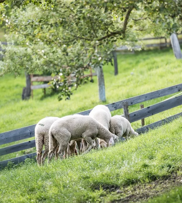
Schafherde
+3

Sentier de détente de Terfens

A leisurely stroll around Terfens.

01:00 h

640 m

75 m

70 m

Facile

Aussicht vom Panormaweg
+3

Petit sentier panoramique du Weerberg

The short panoramic trail on the Weerberg – a treat for the whole family.

8,00 km

02:50 h

1575 m

315 m

Facile