Randonnée et excursion en montagne
Randonnées en famille
Sentiers de promenade et de randonnée dans la vallée
Circuit de randonnée du château de Tratzberg
Facile
6,50 km
175 m
02:00 h
Description
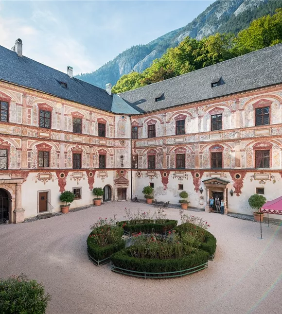
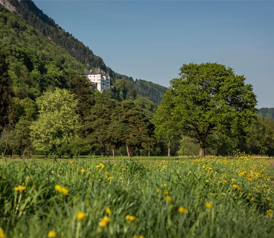
La randonnée part du village de Stans et emprunte un sentier de randonnée facile qui longe la Tratzbergstraße pour rejoindre le château de Tratzberg. Le chemin du retour, plat, traverse les champs pour revenir au point de départ.
Meilleure saison
janvier
février
mars
avril
mai
juin
juillet
août
septembre
octobre
novembre
décembre
Profil d'élévation et caractéristiques
Niveau technique
Condition physique
Équipement et fonctionnalités
Randonnée en famille
Randonnée accessible aux poussettes
Circuit de randonnée
Parking
Parking de l'église Saint-Laurent
Parking
Parking de l'église Saint-Laurent
Équipements
- Chaussures robustes
- Vêtements imperméables / protection solaire
- Eau potable et en-cas en quantité suffisante
Équipements
- Chaussures robustes
- Vêtements imperméables / protection solaire
- Eau potable et en-cas en quantité suffisante
Transports publics
Train jusqu'à la gare de Stans - trajet à pied jusqu'au point de départ de la randonnée
Planification d'itinéraire facile via l'application VVT-Smartride ou planificateur d'itinéraire VVT.
Planification d'itinéraire facile via l'application VVT-Smartride ou planificateur d'itinéraire VVT.
Transports publics
Train jusqu'à la gare de Stans - trajet à pied jusqu'au point de départ de la randonnée
Planification d'itinéraire facile via l'application VVT-Smartride ou planificateur d'itinéraire VVT.
Planification d'itinéraire facile via l'application VVT-Smartride ou planificateur d'itinéraire VVT.
Instructions
Itinéraire:
- Depuis le parking près de l'église Saint-Laurent, quelques virages mènent jusqu'au début du sentier forestier
- Suivre le sentier forestier
- Au croisement, monter à gauche jusqu'au château de Tratzberg (possibilité de visiter le château)
- Le chemin du retour descend jusqu’à la Tratzbergstraße.
- De là, on longe les champs pour revenir au point de départ.
Instructions
Itinéraire:
- Depuis le parking près de l'église Saint-Laurent, quelques virages mènent jusqu'au début du sentier forestier
- Suivre le sentier forestier
- Au croisement, monter à gauche jusqu'au château de Tratzberg (possibilité de visiter le château)
- Le chemin du retour descend jusqu’à la Tratzbergstraße.
- De là, on longe les champs pour revenir au point de départ.
État du chemin
Route goudronnée, puis sentier de randonnée bien entretenu. Parcours entièrement praticable avec une poussette tout-terrain.
État du chemin
Route goudronnée, puis sentier de randonnée bien entretenu. Parcours entièrement praticable avec une poussette tout-terrain.