Marche nordique
chemin de pèlerinage
Parcours thématique
Randonnée et excursion en montagne
Randonnées en famille
Randonnées plaisir
Circuit de pèlerinage vers St. Georgenberg
Facile
7,30 km
525 m
03:30 h
Description
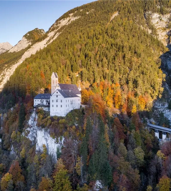
Ressentez le calme et la sérénité en effectuant votre « pèlerinage » le long des deux stations du Chemin de Croix menant au monastère de St. Georgenberg – le plus ancien lieu de pèlerinage du Tyrol.
Une fois arrivé au sommet, une pause à l'auberge du pèlerinage, à l'ombre de châtaigniers séculaires et autour de délices culinaires, vaut vraiment le détour.
Une fois arrivé au sommet, une pause à l'auberge du pèlerinage, à l'ombre de châtaigniers séculaires et autour de délices culinaires, vaut vraiment le détour.
Meilleure saison
janvier
février
mars
avril
mai
juin
juillet
août
septembre
octobre
novembre
décembre
Profil d'élévation et caractéristiques
Niveau technique
Condition physique
Équipement et fonctionnalités
Randonnée en famille
Circuit de randonnée
Parking
Parking de l'église Saint-Laurent à Stans
Équipements
- Chaussures robustes
- Vêtements imperméables / protection solaire
- Eau potable et en-cas en quantité suffisante
Transports publics
Train jusqu'à la gare de Stans - trajet à pied jusqu'au parking de l'église Saint-Laurent de Stans
Planification d'itinéraire facile via l'application VVT-Smartride ou le planificateur d'itinéraire VVT.
Planification d'itinéraire facile via l'application VVT-Smartride ou le planificateur d'itinéraire VVT.
Instructions
Itinéraire :
- Le point de départ se trouve à Stans, sur le parking situé près de l'église Saint-Laurent, aux couleurs blanc et jaune, dans la partie est de Stans
- Depuis le parking, le chemin est bien balisé, suivez les panneaux indiquant la direction de St. Georgenberg
- Vous marchez d’abord un court moment sur une route goudronnée jusqu’à atteindre l’embranchement Maria Tax/St. Georgenberg
- C’est là que commence le véritable chemin de croix, sur un sentier forestier agréable, en pente généralement douce, qui mène à St. Georgenberg, le plus ancien lieu de pèlerinage du Tyrol
- Seule la dernière montée est un peu
État du chemin
Chemin forestier, court tronçon de route goudronnée