Family walks
Hiking & Mountain Tours
Hut & Alpine Pasture Walk
Leisurely walking
The Austrian People’s Sports Association’s Permanent Trail
Walk from the Engalm to the Binsalm (IVV)
Easy
6,20 km
289 m
02:15 h
Description
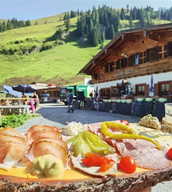
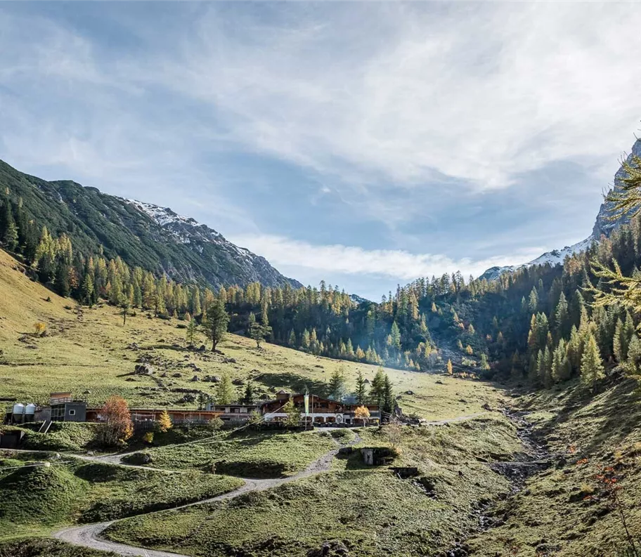
From Eng, a total of three paths lead directly to the Binsalm. Once at the top, hearty home-style cooking awaits to fortify you on the sunny viewing terrace.
Best season
January
February
March
April
May
June
July
August
September
October
November
December
Elevation profile & characteristics
Technology
condition
Features
Family walk
Equipment
- Sturdy footwear
- Rainwear/sun protection
- Plenty of drinking water & snacks
Instructions
Route description:
Forest track alternative:
Forest track alternative:
- From car park P10, follow the Karwendel Nature Park nature trail to the Engalm
- At the Engalm rest hut, a forest track branches off to the south-east towards the Binsalm, and the route follows a wide arc along the track uphill to the Binsalm
- A shortcut to the Binsalm starts immediately behind the Naturhotel DIE ENG on a path that initially climbs steeply and then joins the forest road leading to the Binsalm
- This route takes approximately 45 minutes
- Another alternative for the ascent or descent is the Panorama Trail
- If
Author's tip
This walk (variant: Frostweg) is a permanent route organised by the Austrian People’s Sports Association (ÖVV).
These are signposted walking routes that you can walk independently at any time using a starting card and route map. There are checkpoints along the way, and at the finish you’ll receive an IVV scoring stamp for each route – ideal for keeping track of your personal participation and distance totals, as well as for shared hiking experiences in the great outdoors. Further information is available at https://oevv-wandern.at/
These are signposted walking routes that you can walk independently at any time using a starting card and route map. There are checkpoints along the way, and at the finish you’ll receive an IVV scoring stamp for each route – ideal for keeping track of your personal participation and distance totals, as well as for shared hiking experiences in the great outdoors. Further information is available at https://oevv-wandern.at/
Parking
By car:
Car park P10
- A12 Achensee motorway exit, follow the Achensee B181 federal road to the Achen Pass border
- Cross the border into Bavaria (307) to Lake Sylvenstein, turn left towards Vorderriss
- Turn left towards Hinterriss, take the toll road to car park P10
Car park P10
Trail conditions
Forest track, hiking trail (for the ‘Shortcut’ and ‘Panoramic Trail’ routes)