Weidener Hütte
+3

Hiking & Mountain Tours

Hut & Alpine Pasture Walk

Leisurely walking

The Austrian People’s Sports Association’s Permanent Trail

Walk from Innerst to the Weidener Hut (IVV)

Medium

10,90 km

560 m

04:20 h

Description

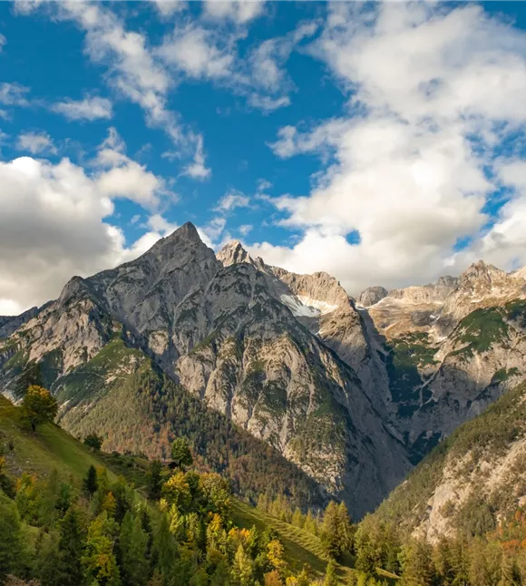
Passing several alpine pastures and mountain pasture settlements. In the alpine pasture area there are many Swiss stone pines.


Starting point is the parking lot in Innerst. From there follow the signs "Weidener Hütte" in the direction of Nurpensbach over the Pfund bridge to Nafingweg. Cross the forest path according to the signposted abbreviation (path no. 315) until it ends again on the forest path. Follow the forest road. We pass the Spuringalpl, where a small rest on a sunny bench is possible. From there it takes about 45 minutes to Weidener Hütte. There is a very good place to

Medium

Route

10,90 km

560 m

04:20 h

1787 m

start

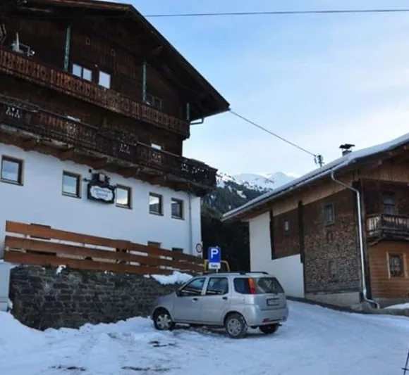
Jausenstation Innerst

Destination

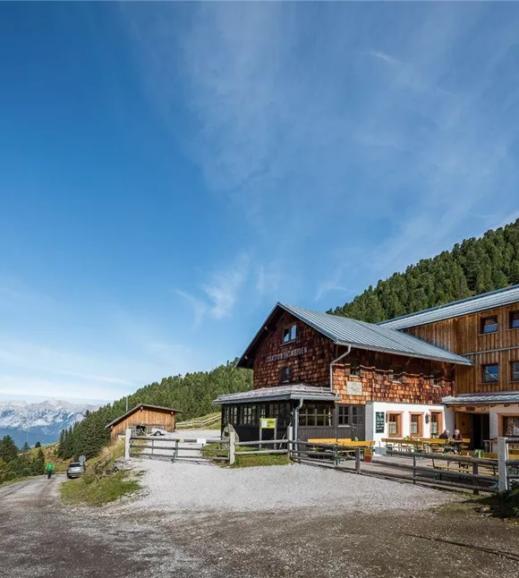
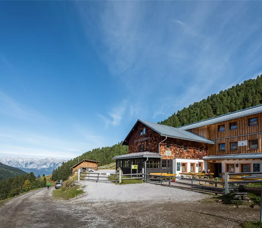
Weidener Hütte

Nearby facilities

Chata Weidener
+3

Mountainhut Weidener Hütte

Weerberg

Cottage

Mountain hut / Mountain restaurant

Depending on the season, the Weidener Hut in the Tux Alps is a popular base for hikers, mountaineers and mountain bikers, or for ski tourers, snowshoe walkers and tobogganists.
Občerstvení Innerst
+3

Snack Station Innerst

Weerberg

Catering

Inn/Guesthouse

+2

Whether after a hike in summer or a ski run in winter, the Innerst snack bar is a cosy place to stop for a bite to eat and relax.

Closed - opens tomorrow at 09:00 AM

parkplatz-symbol-478x477.jpg

Parking Lot Innerst

Weerberg

Car park

More tours

Pillerův vodopád
+2

Walk to the Piller Waterfall

A romantic walk along the stream in the narrow Pillertal valley, with the waterfall as the highlight.

2,60 km

01:00 h

715 m

155 m

Medium

Gilfert 7.jpg
+2

Panoramic Circular Hike to Gilfert

The way to the Gilfert via its back side is not as gentle as over the Weerberg. But the ascent to the Gamsstein and the Graukopf off the Gilfert are characterised by particularly characteristic small landscapes of bizarre beauty.

12,50 km

06:30 h

900 m

Difficult

Blick auf den Kuhmesser/Kuhmöser
+3

From Loassattel to the Kuhmesser

The Kuhmesser/Kuhmöser, standing at 2,264 metres, is a mountain ridge on the Kellerjoch, situated to the south-east.

4,50 km

03:45 h

2261 m

595 m

Medium

Aussicht vom Panormaweg
+3

Short panoramic walk on the Weerberg

The short panoramic trail on the Weerberg – a treat for the whole family.

8,00 km

02:50 h

1575 m

315 m

Cesta smyslů
+3

Path of the Senses

Partially open

Hike through the distinctive Alpine landscape, rediscover your senses and marvel at the works of various artists.

5,00 km

02:00 h

1490 m

180 m

Vomperloch con vista sui monti del Karwendel
+3

Wanderung ins Vomper Loch

The Vomper Loch is considered one of the wildest and most remote corners of the Karwendel. An extraordinary hike through unspoilt mountain scenery awaits you, offering fascinating views both far and wide and deep into the valley.

12,90 km

04:40 h

1152 m

600 m

592 m

Medium