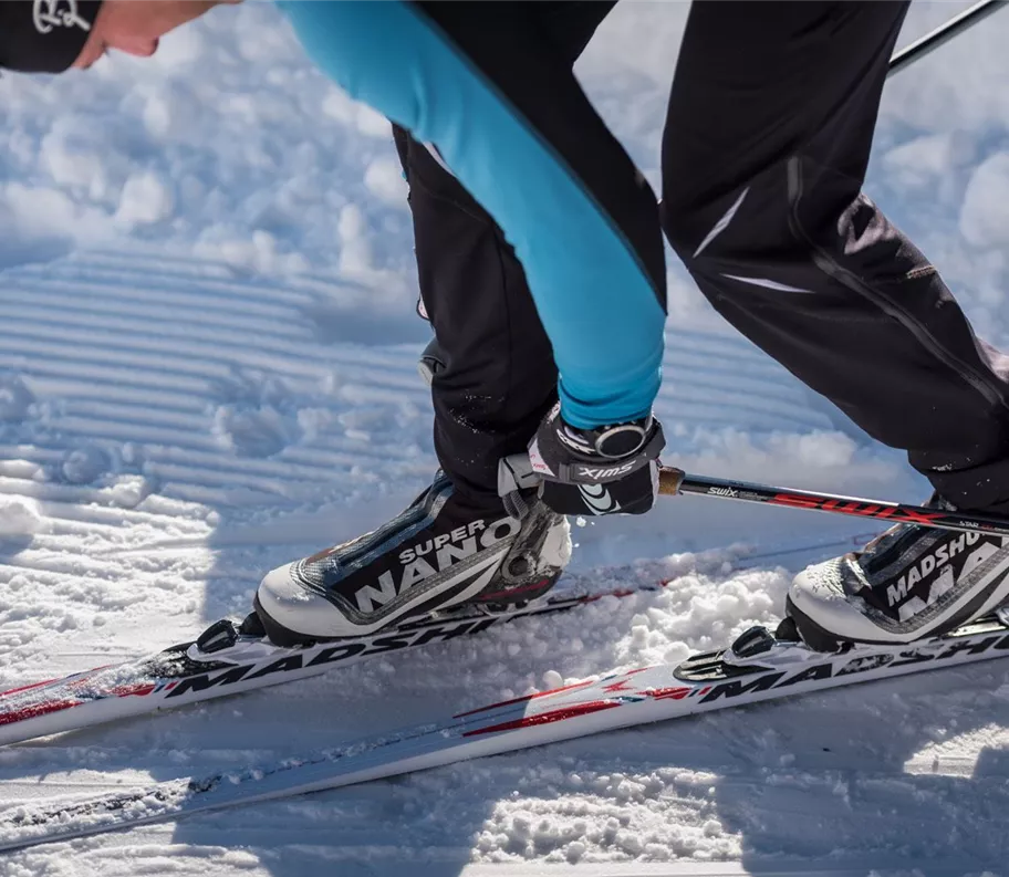
TEST Cross-Country Ski Trail
Difficult
1000 m
10:00 h
Description
TEST Cross-country ski trail description
Important information
TEST Cross-country ski trail – important information
Best season
January
February
March
April
May
June
July
August
September
October
November
December
Elevation profile & characteristics
Technology
condition
Features
Snowmaking
Accessibility / Cross-country skiing
Circular walk
Skating
Classic
Free of charge
Subject to a charge
Dogs allowed
Illuminated
Parking
TEST Cross-country ski trail by car
Parking
TEST Cross-country ski trail by car
Public transport
TEST: Cross-country ski trail open to the public
Public transport
TEST: Cross-country ski trail open to the public
Instructions
TEST Cross-country ski trail description
Instructions
TEST Cross-country ski trail description
Tip
TEST Cross-country ski trail information & links
Tip
TEST Cross-country ski trail information & links
Author's tip
TEST Cross-country ski trail – the author’s tip
Author's tip
TEST Cross-country ski trail – the author’s tip
Difficult
1000 m
10:00 h
1000 m
start
TEST Cross-country ski trail start
Destination
TEST End of cross-country ski trail