Hiking & Mountain Tours
Leisurely walking
The Austrian People’s Sports Association’s Permanent Trail
Themed trail
Partially open
Suspension Bridges Walk (IVV)
Medium
5,70 km
260 m
02:00 h
Description
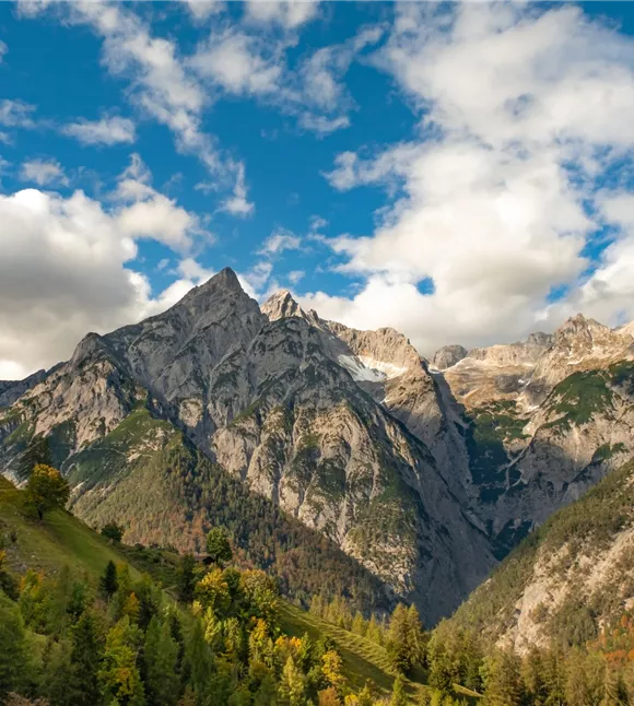
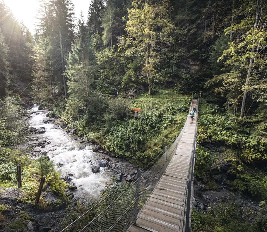
The Suspension Bridge Circuit on the Kolsassberg & Weerberg is a varied circular walk for anyone who wants to experience nature whilst enjoying a touch of adventure. The route leads through dense forests, past flowering meadows and across two impressive suspension bridges, newly built in 2020 to span the Weerbach – a real highlight.
- Walking time: approx. 1.5–2 hours
- Suitable for: nature lovers, amateur photographers
- Recommendation: Sturdy footwear – some sections are steep or narrow
Closure information
The front suspension bridge is difficult to cross due to building works.
Redirection information
Alternative route depending on the weather: combination of suspension bridges (longer route)
Best season
January
February
March
April
May
June
July
August
September
October
November
December
Elevation profile & characteristics
Features
Circular walk
Equipment
- Sturdy footwear (steep & narrow sections of the climb)
- Headwear/sun protection on hot days
- Drinking water
Instructions
There are numerous starting points along the route.
This route description begins at the Kolsassberg Town Hall.
This route description begins at the Kolsassberg Town Hall.
- From there, it’s about 200 metres downhill to the Rettenberg ruins
- The path follows the signposts to the front suspension bridge, which spans the stream impressively
- After crossing, follow a steeply ascending path up to the Maxnhagerhof
- There, keep to the right, first following the tarmac road, then the gravel track, until you reach the signs for the rear suspension bridge
- A turn-off slightly to the right finally leads down to the second bridge and back up on
Author's tip
This walk is part of the permanent trail network of the Austrian People’s Sports Association (ÖVV).
These are signposted walking routes that you can walk independently at any time using a starting card and route map. There are checkpoints along the way, and at the finish you’ll receive an IVV scoring stamp for each route – ideal for keeping track of your personal participation and distance totals, as well as for shared hiking experiences in the great outdoors. Further information is available at https://oevv-wandern.at/
These are signposted walking routes that you can walk independently at any time using a starting card and route map. There are checkpoints along the way, and at the finish you’ll receive an IVV scoring stamp for each route – ideal for keeping track of your personal participation and distance totals, as well as for shared hiking experiences in the great outdoors. Further information is available at https://oevv-wandern.at/
Trail conditions
Tarmac, forest track, footpath, wooden bridges
Parking
Starting point: Kolsassberg Town Hall:
Parking:
- Regional bus route 1 (Kolsassberg – Terfens – Weer) – nearest Terfens/Weer railway station
- Travelling by car: A12 Inntal motorway, Vomp or Wattens exit (Exit 61) – B171 Weer/Kolsass – Rettenbergstraße
Parking:
- Kolsassberg Town Hall
- Maxnhagerhof
- Weerberg Town Hall
Parking
Starting point: Kolsassberg Town Hall:
Parking:
- Regional bus route 1 (Kolsassberg – Terfens – Weer) – nearest Terfens/Weer railway station
- Travelling by car: A12 Inntal motorway, Vomp or Wattens exit (Exit 61) – B171 Weer/Kolsass – Rettenbergstraße
Parking:
- Kolsassberg Town Hall
- Maxnhagerhof
- Weerberg Town Hall
Public transport
The following stops are located near the boarding points:
- Kolsassberg Kindergarten
- Kolsassberg Jägerhof
- Weerberg Angerl
Public transport
The following stops are located near the boarding points:
- Kolsassberg Kindergarten
- Kolsassberg Jägerhof
- Weerberg Angerl