Alpine hiking
Hiking & Mountain Tours
Summit tour
Hike to the Stanser Joch
Difficult
15,00 km
1530 m
10:00 h
Description
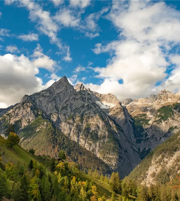
Once you reach the summit cross, your hard work and effort are rewarded with a magnificent view over the valley, the main Alpine ridge and Lake Achensee to the north.
Best season
January
February
March
April
May
June
July
August
September
October
November
December
Elevation profile & characteristics
Technology
condition
Parking
By public transport: Train to Stans station – walk to the Laurentiuskirche car park
By car: A12 Inntal motorway, exit at Schwaz, continue to Stans to the Laurentiuskirche car park
Car park at Laurentius Church, Stans
By car: A12 Inntal motorway, exit at Schwaz, continue to Stans to the Laurentiuskirche car park
Car park at Laurentius Church, Stans
Equipment
- Sturdy footwear
- Rainwear/sun protection
- Plenty of drinking water/snacks
Public transport
Train to Stans station – walk to the car park at Stans Laurentiuskirche
You can find the bus timetables at www.smartride.vvt.at
You can find the bus timetables at www.smartride.vvt.at
Instructions
Route description:
- The starting point is the car park by St. Laurentius Church in Stans
- From the car park, the route is well signposted; please follow the signposts towards St. Georgenberg
- The route initially follows a tarmac road for a short distance until the Maria Tax/St. Georgenberg junction
- From here, the actual Way of the Cross begins on a gentle, mostly gently ascending forest track
- From the St. Georgenberg/Heuberg/Stanserjoch junction, the well-signposted, partly steeply ascending hiking trail leads to the Stanserjoch. (Alternatively, the forest track can be chosen for the ascent or descent)
- The return journey follows the same route
Trail conditions
The route starts on a tarmac road, then turns into a steep, partly rocky footpath (or alternatively a forest track)