Cycle tour Eng - Plumsjoch

Mountain bike ride

452 | Risstal – Plumsjoch

Medium

8,01 km

580 m

01:51 h

Description

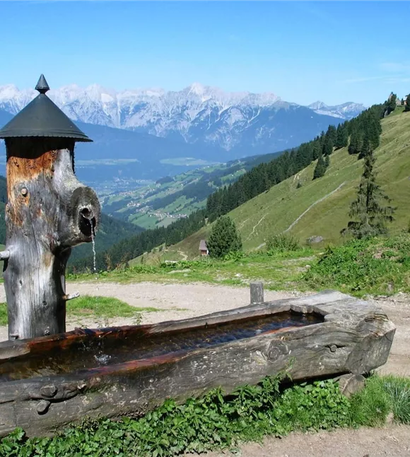
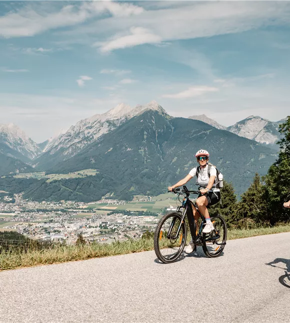
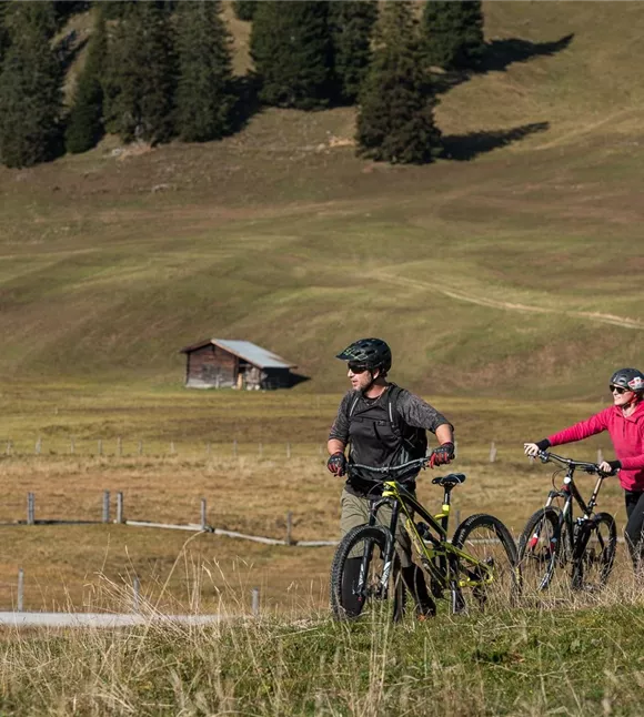
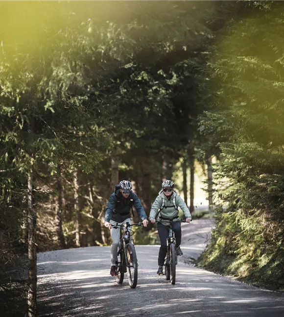
The route starts at car park no. 9 and follows a wide forest track through shady woodland, climbing at a moderate gradient. The route winds its way up to the Plumsalm in a series of bends. The rest of the route proves somewhat more challenging due to the occasionally rough terrain and winds its way along the mountainside in numerous further hairpin bends to the Plumssattel. The distance to the Plumsjochhütte, which soon comes into view, seems deceptively short – in fact, the destination, which you might think you’ve reached, is actually still a little way off. After the exertion,

Medium

Route

8,01 km

580 m

40 m

01:51 h

start

Plumsalm car park, Eben a.A.

Destination

Plumsjoch

More tours

mia2024_tvbsrk_ebike_hr-1936.jpg
+3

4006 | Mitterberg – Hausstatt

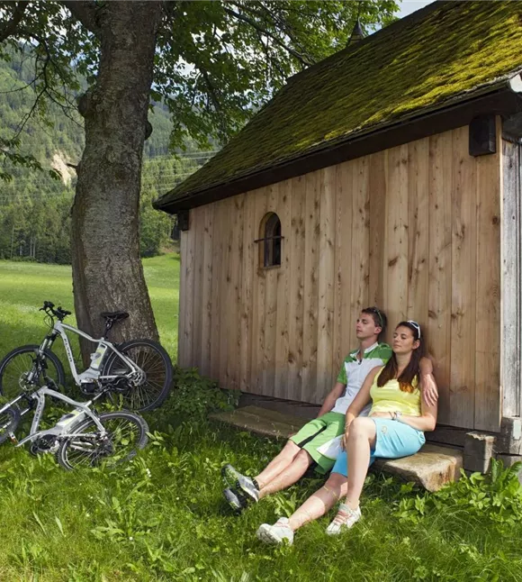
The route starts about 250 metres west of the “Schwannerwirt”, by the small wooden chapel. Turn left and follow the path uphill, which runs through meadows and short stretches of woodland. There are wonderful views time and again of the Weerberg area, the Inn Valley and the Karwendel Mountains opposite. The next section of the route leads through the woods to the junction with MTB Route 405 (Außerweerberg – Hausstatt). From here, the two routes run parallel to each other as far as the destination, Hausstatt. Connection available to MTB Route 498 (Nonsalm Runde).

4,39 km

01:14 h

420 m

10 m

Medium

Silberregion Karwendel

595 | Karwendeltal – Karwendelhaus

This long walk starts at the Länd car park (Scharnitz information office). Pass the Holzerhütte Museum on the left and, about 1 km after the Isar bridge, turn left again towards Karwendeltal/Karwendelhaus. After a short, steep climb to Brandlegg, the route runs alongside the Karwendelbach stream to the Angeralm (unmanned). The path winds steeply uphill in hairpin bends to the Hochalm (unmanned). After a few bends, you’ll reach the turn-off to the nearby Hochalmsattel – this view of the Karwendel will certainly remain in your memory for a long time. You then continue on to the Karwendelhaus, a traditional mountain hut. The magnificent mountain panorama and traditional dishes invite you to take a well-deserved break. Alternative route: For experienced cyclists in good physical condition, this tour can be extended to Achensee (total additional time: approx. 6 hours on MTB routes 455, 452, 462 and 463). Just before the Karwendelhaus, on the Hochalmsattel, turn left onto the path to the Kleiner Ahornboden. Caution – cyclists can expect some very steep descents and uneven terrain in places. The route continues along the well-maintained forest road through the Johannistal towards Hinterriß. Once you reach the Rißtal, head into the valley until you reach the turn-off for the Plumsjoch. Now there are a good 500 metres of elevation gain to the Plumsjochhütte to tackle. After a stop for refreshments, a technically challenging descent (MTB singletrack 462 or a section where you’ll need to push your bike) takes you down into the Gerntal valley. The route continues along the tarmac road to Pertisau and then along the Achensee on the cycle path to Maurach-Buchau.

17,88 km

02:44 h

830 m

38 m

Medium

Fiderissalm at the Weerberg
+2

498 | Nonsalm circuit starting from Hausstatt

The route starts at the Hausstatt car park (subject to a charge). The path leads through the shady forest along the forest track, climbing gently and steadily uphill to the Nonsalm. There you’ll find a large trough where you can fill your water bottle with the finest spring water. Accompanied by panoramic mountain views, including a vista of the Karwendel Mountains opposite, the high-altitude trail leads to the Lafasteralm without any change in elevation. From here, it’s all downhill – after around 6 km of a leisurely descent, you’ll reach the starting point again. After this somewhat strenuous mountain bike ride, the modern Hüttegg mountain inn is the perfect place for a cosy stop for refreshments.

12,81 km

02:05 h

510 m

Medium

E-Bike Tour

4001 | Schwaz Forest Circuit

Open

The route starts at the “Rote Bank” by the Lahnbach Bridge in Schwaz and follows the Lahnbach stream for a short distance. You’ll need to cross two bridges before heading towards Freundsberg Castle and continuing along the winding tarmac road to Egertboden. It is advisable to check your water supplies, as the “Schmadlegg” inn is the last place to stop for refreshments until the end of the route. From Egertboden, a wide forest track leads to the Bruderwald. In the Bruderwald, at the second sharp right-hand bend, turn left towards Petrach. The route continues along the edge of the forest and, after a gentle climb, you will have reached the highest point. The winding, tarmac road takes you back over the Zintberg to the starting point. This circular route can also be cycled in the opposite direction.

12,79 km

02:26 h

710 m

Medium

021_20260630_tvb.jpg
+5

416 | Zintberg–Proxenalm–Gallzein

This route is a fairly leisurely but long ride. The route starts at the Rote Bank in Schwaz. On the tarmac road, turn left to cross the Lahnbach Bridge and head towards Petrach. The route then winds its way up the steadily ascending Zintberg. The road soon turns into a forest track; cycle past the turn-off for the Plumpmooshütte. After that, there are three more bends to negotiate before the turn-off for the Proxenalm appears on your right. You can choose to cycle as far as the Proxenalm if you wish. To return to the main route, follow the same path back and then turn right towards Koglmoos. The forest track, which runs partly through woodland, takes you to the Koglmoosalm in Gallzein. From here, the tarmac road begins again. Pass the chapel in the Hof district on your left, and the gentle descent back to Schwaz – and to the starting point – begins. Just before the road starts to go downhill, a panoramic view of the Inn Valley and the Karwendel Mountains opens up.

21,26 km

03:42 h

1070 m

Medium

Cyklovýlet ze Zillertalu do údolí Innu

414 | Fügen – Gallzein – Buch – Strass

Open

This extensive circular route starts at the Festhalle in Fügen and leads through the town centre to the turn-off for the Äußerer Fügenberg (near the Zillertal Metall metalworks). Turn left and follow the tarmac road uphill to Baumannwies. Continue along the forest track, which runs mainly through woodland, towards Öxltal. The route runs through the valley to the Kaunzalm/Lackenhütte junction, where you turn right. Once you’ve conquered the final few metres of ascent to the Lackenhütte, the route heads downhill, past the Gasthof Kogelmoos (where you can stop for refreshments) to Gallzein. On the tarmac road, you’ll pass through the villages of Buch, Maurach, Rotholz, Strass and Schlitters (more places to stop for refreshments) before returning to the starting point. The route can also be cycled in the opposite direction.

37,75 km

05:12 h

1250 m

Medium