Mountain bike ride
403 | Innerst – Geiseljoch
Difficult
10,35 km
1020 m
02:30 h
Description
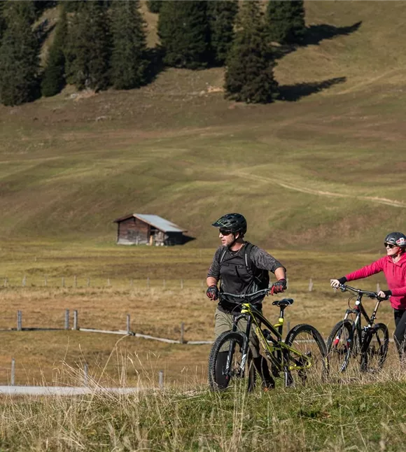
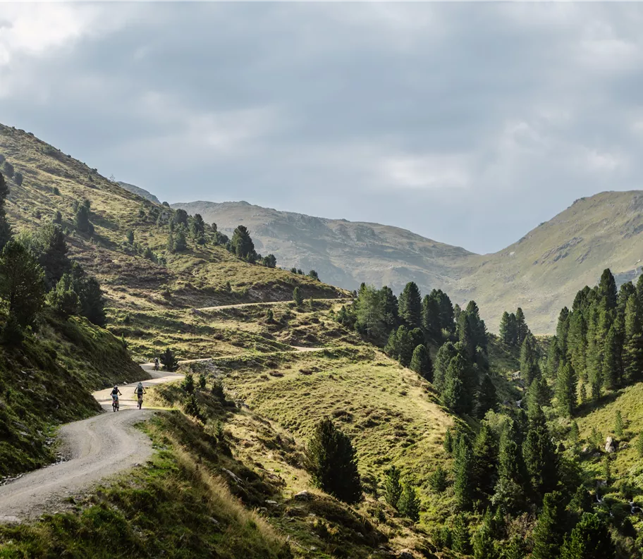
The route from Innerst to the Geiseljoch (2,290 m) is one of the most impressive mountain bike trails in Tyrol.
Characteristics:
• A continuous, high-alpine route
• Varying gradients and challenging sections
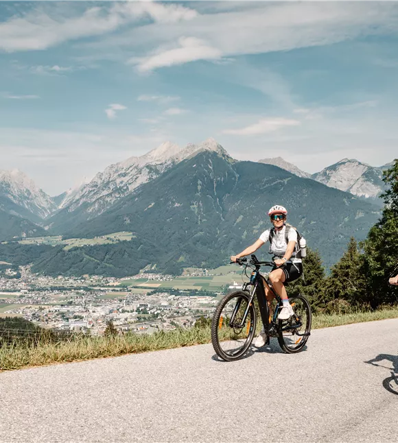
• Stunning views towards the Karwendel and the Tux Alps
Route:
• Start at the Innerst car park
• Across the Nurpensbach to the track towards Nafingalm
• Past the Alpl to the Weidener Hütte
• Continue along a steep alpine path past the Nafingsee
• Final climb to the Geiseljoch (the last few metres require pushing in places)
• Descent via the same route (alternatively,
Characteristics:
• A continuous, high-alpine route
• Varying gradients and challenging sections
• Stunning views towards the Karwendel and the Tux Alps
Route:
• Start at the Innerst car park
• Across the Nurpensbach to the track towards Nafingalm
• Past the Alpl to the Weidener Hütte
• Continue along a steep alpine path past the Nafingsee
• Final climb to the Geiseljoch (the last few metres require pushing in places)
• Descent via the same route (alternatively,
Best season
January
February
March
April
May
June
July
August
September
October
November
December
Elevation profile & characteristics
Technology
condition
Features
Journey time by e-bike
1 h 45 min
Parking
Travelling by public transport: Travel by public transport as far as Weer; onward travel is possible but limited. Planning: VVT route planner
By car: A12 Inntal motorway, take the Vomp or Wattens exit, then via Weer to Innerberg and Innerst
Paid municipal car park in Innerst
By car: A12 Inntal motorway, take the Vomp or Wattens exit, then via Weer to Innerberg and Innerst
Paid municipal car park in Innerst
Equipment
• Helmet, protective and emergency equipment
• Sufficient water
• Weather protection
• Sufficient water
• Weather protection
Public transport
Take the bus to the Weerberg Berghof stop.
Take the S-Bahn to Terfens-Weer station. Plan your route easily using the VVT Smartride app or the VVT route planner.
You must check with the relevant transport operator in advance regarding the carriage of bicycles (Tyrol Transport Association – www.vvt.at/mobilitaet/rad)
Take the S-Bahn to Terfens-Weer station. Plan your route easily using the VVT Smartride app or the VVT route planner.
You must check with the relevant transport operator in advance regarding the carriage of bicycles (Tyrol Transport Association – www.vvt.at/mobilitaet/rad)
Instructions
• Start at the Innerst car park
• Via the Nurpensbach to the track towards Nafingalm
• Past the Alpl to the Weidener Hütte
• Continue along a steep alpine path past the Nafingsee
• Final climb to the Geiseljoch (the last few metres require pushing in places)
• The descent is the same (alternatively, continue on the MTB-424 towards Vorderlanersbach/Tux --> particularly recommended if travelling by public transport)
• Via the Nurpensbach to the track towards Nafingalm
• Past the Alpl to the Weidener Hütte
• Continue along a steep alpine path past the Nafingsee
• Final climb to the Geiseljoch (the last few metres require pushing in places)
• The descent is the same (alternatively, continue on the MTB-424 towards Vorderlanersbach/Tux --> particularly recommended if travelling by public transport)
Author's tip
Plan to stop off at the Weidener Hütte and, if travelling by public transport, head down into the Zillertal and take the Zillertalbahn back to the Inn Valley.
Trail conditions
Surface:
- Gravel: 10.16 km
- Tarmac: 0.2 km
Difficulty:
- Easy: 0.2 km
- Moderate: 3.31 km
- Difficult: 6.84 km
Gradient:
- up to 5%: 1.09 km
- 6–11 per cent: 4.63 km
- 12–16 per cent: 4.41 km
- 17 per cent and above: 0.23 km
- Gravel: 10.16 km
- Tarmac: 0.2 km
Difficulty:
- Easy: 0.2 km
- Moderate: 3.31 km
- Difficult: 6.84 km
Gradient:
- up to 5%: 1.09 km
- 6–11 per cent: 4.63 km
- 12–16 per cent: 4.41 km
- 17 per cent and above: 0.23 km