Přejít na obsah
přírodní kulisa
+3

Nordic walking

Pěší výlet a horská túra

Turistika pro potěšení

Z Engu do Enger Grundu

Lehká

7,00 km

205 m

02:15 h

Lehká

Trasa

7,00 km

205 m

195 m

02:15 h

1475 m

Výchozí bod

Parkoviště P10, Eng

Cílový bod

Úzký pozemek

Navazující infrastruktura

021_20261015_tvb.jpg
+2

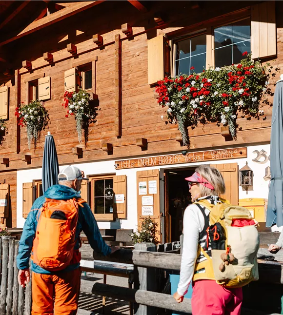
Venkovský obchod Eng Alm

Vomp

Chata / horská restaurace

Tyrolská svačina „Marend“

+1

Real "palate yodelers" to taste and take home with you. Our delicacies: the best of fresh mountain green, mountain cattle and native Karwendel game.
Parkplatz Eng

Parkoviště P10

Vomp

Parkoviště

Silberregion Karwendel

Odpočívárna Eng Alm

Vomp

Chata / horská restaurace

Gastronomie

+1

The restaurant is open from the beginning of May to the end of October and offers its guests warm meals and specialities from Tyrol all day long in a cosy restaurant, in the self-service area or on the large sun terrace.

Další výlety

wehn_115498.jpg

Na Hochnissl

Very long, very steep and enormously beautiful. The basic requirements are surefootedness and a sense of orientation in the pathless scree.

6,10 km

2542 m

1682 m

Obtížný

wehn_115498.jpg

Na Hochnissl

Very long, very steep and enormously beautiful. The basic requirements are surefootedness and a sense of orientation in the pathless scree.

6,10 km

2542 m

1682 m

Obtížný

Ruine Rettenberg 01.JPG

Léčivé vody a zříceniny hradů

Částečně otevřená

Od Kolsassu k kapli Panny Marie Lurdské je to dobrý kilometr, odtud k zřícenině Rettenberg ještě asi 2 km. Kratší varianta 1 vede zpět k výchozímu bodu po dobré 4 km. Celková délka trasy je asi 7 km.

7,50 km

761 m

358 m

Ruine Rettenberg 01.JPG

Léčivé vody a zříceniny hradů

Částečně otevřená

Od Kolsassu k kapli Panny Marie Lurdské je to dobrý kilometr, odtud k zřícenině Rettenberg ještě asi 2 km. Kratší varianta 1 vede zpět k výchozímu bodu po dobré 4 km. Celková délka trasy je asi 7 km.
7,50 km

761 m

358 m

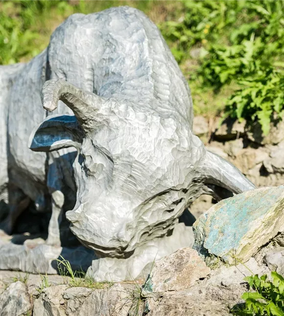
Býk u naleziště stříbra
+10

Schwazer Knappensteig

A journey through the mining industry of Schwaz.

2,60 km

01:00 h

682 m

120 m

115 m

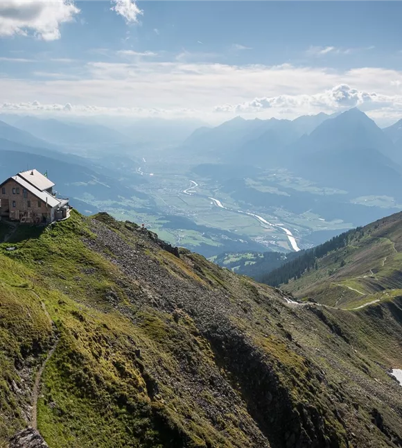
Kellerjochhütte mit Ausblick ins Inntal
+3

Z Hecherhausu k chatě Kellerjochhütte

Scenic hike on Schwaz's local mountain.

4,20 km

02:20 h

2234 m

345 m

340 m

Střední