Tyrolský přírodní park / národní park
Pěší výlet a horská túra
Vícedenní túra (až 4 etapy)
Trasa Karwendel
Střední
41,00 km
1875 m
15:50 h
Popis
1. den – Z Hinterrissu k chatě Falkenhütte
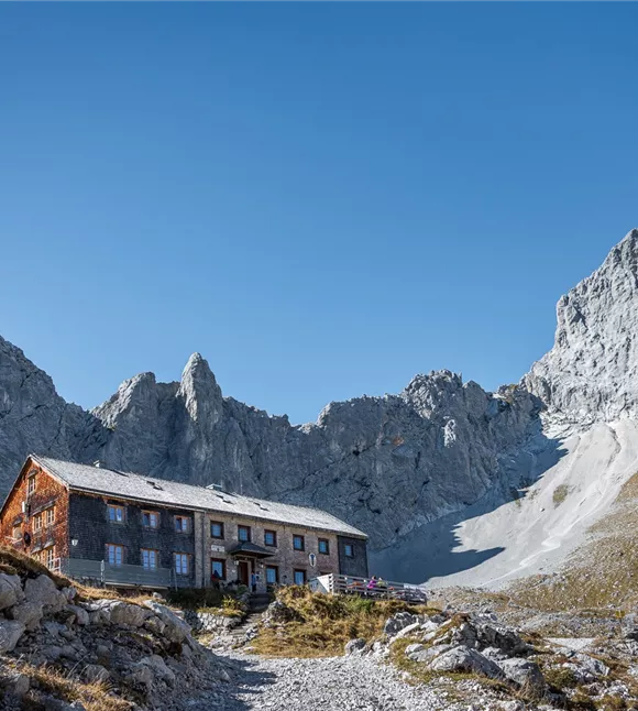
Výchozím bodem je hostinec „Gasthof zur Post“ v Hinterrissu. V informačním centru „Alpenpark Karwendel“ máte možnost se ještě před výletem seznámit s pohořím Karwendel prostřednictvím přírodovědných filmů a výstav. Poté se vydáte po stezce č. 231 do vnější části údolí Johannestal k Kleinen Ahornboden. Odtud se vydáte podle ukazatele „Falkenhütte“ do lesa Ladizwald a k nádherně položené chatě Ladizalm; serpentinami vystoupáte na sedlo Spielissjoch a dále nahoru k chatě Falkenhütte. Podle chuti a fyzické kondice můžete odpoledne ještě vystoupit na místní vrchol Mahnkopf a vychutnat si nádherný výhled na pohoří Karwendel. Večer
Výchozím bodem je hostinec „Gasthof zur Post“ v Hinterrissu. V informačním centru „Alpenpark Karwendel“ máte možnost se ještě před výletem seznámit s pohořím Karwendel prostřednictvím přírodovědných filmů a výstav. Poté se vydáte po stezce č. 231 do vnější části údolí Johannestal k Kleinen Ahornboden. Odtud se vydáte podle ukazatele „Falkenhütte“ do lesa Ladizwald a k nádherně položené chatě Ladizalm; serpentinami vystoupáte na sedlo Spielissjoch a dále nahoru k chatě Falkenhütte. Podle chuti a fyzické kondice můžete odpoledne ještě vystoupit na místní vrchol Mahnkopf a vychutnat si nádherný výhled na pohoří Karwendel. Večer
Nejlepší sezóna
leden
únor
březen
duben
květen
červen
červenec
srpen
září
říjen
listopad
prosinec
Výškový profil a charakteristiky
Úroveň dovedností
Úroveň kondice
Vybavení a funkce
Charakteristika vícedenních výletů
Gesamtverlauf
Parkování
Autem:
Parkoviště P0 Hinterriss
- Sjezd z dálnice A12 Achensee, po státní silnici B181 až k hranici u průsmyku Achenpass
- Překročení hranice do Bavorska (307)&k jezeru Sylvensteinsee, odbočte vlevo směrem na Vorderriss
- Odbočte vlevo na Hinterriss, po cca 10 kilometrech dorazíte k cíli
Parkoviště P0 Hinterriss
zařízení
- Pevná obuv
- Ochrana před deštěm/sluncem
- Dostatek pitné vody/svačiny
Stav cesty
Dobře upravené lesní, štěrkové a turistické stezky