Pěší výlet a horská túra
Turistika pro potěšení
Pěší výlet Bärenrast – Lamsenjochhütte – Eng
Střední
14,00 km
965 m
06:15 h
Popis
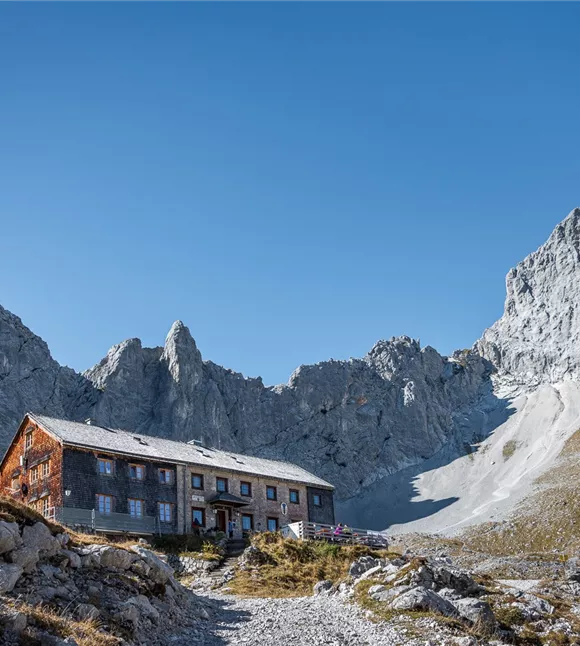
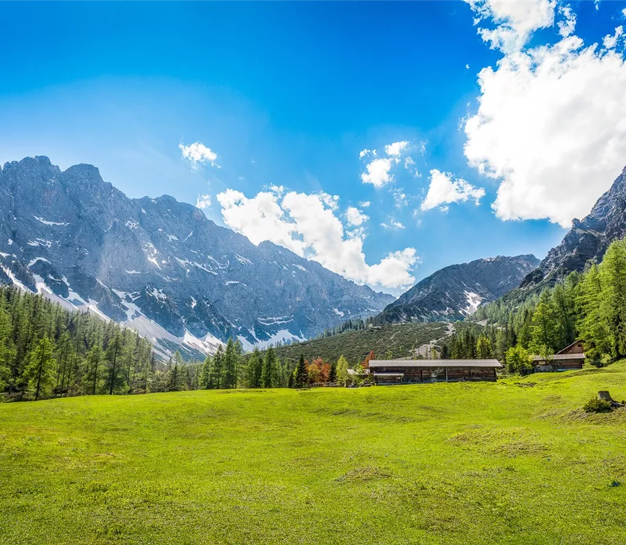
Tato úchvatná túra vede od Bärenrast nejprve pohodlně impozantním lesem v soutěsce, než se přes rozlehlé alpské pastviny dostanete do vysokohorského alpského terénu k chati Lamsenjochhütte (1 935 m). Tato trasa je koncipována jako přechod a vede přímo do srdce přírodního parku Karwendel – největšího přírodního parku v Rakousku. Po vydatné polední přestávce na horské chatě Lamsenjochhütte sestupujeme do Engu – největšího alpského vesničky v Tyrolsku – směrem k Großer Ahornboden.
Během letních měsíců je každou středu možnost vrátit se autobusem Eng zpět do Stansu.
Více informací na: https://silberregion-karwendel.com/de/eng-bus
Během letních měsíců je každou středu možnost vrátit se autobusem Eng zpět do Stansu.
Více informací na: https://silberregion-karwendel.com/de/eng-bus
Nejlepší sezóna
leden
únor
březen
duben
květen
červen
červenec
srpen
září
říjen
listopad
prosinec
Výškový profil a charakteristiky
Úroveň dovedností
Úroveň kondice
Parkování
Auto: Dálnice A12 Inntal, sjezd Schwaz, silnice směrem na Stans až k parkovišti Bärenrast
Parkoviště Bärenrast
Parkoviště Bärenrast
zařízení
- Pevná obuv
- Ochrana před deštěm/sluncem
- Dostatek pitné vody/svačiny
zařízení
- Pevná obuv
- Ochrana před deštěm/sluncem
- Dostatek pitné vody/svačiny
Stav cesty
Trasa výletu:
- Z parkoviště Bärenrast podél lesa v soutěsce
- Podél údolí Stallental s charakteristickými skalními stěnami
- Za Stallenalm se stoupá nahoru k chatě Lamsenjochhütte
- Odtud se schází dolů směrem na Eng
- Míjíme Binsalm a scházíme dolů do Engu
Stav cesty
Trasa výletu:
- Z parkoviště Bärenrast podél lesa v soutěsce
- Podél údolí Stallental s charakteristickými skalními stěnami
- Za Stallenalm se stoupá nahoru k chatě Lamsenjochhütte
- Odtud se schází dolů směrem na Eng
- Míjíme Binsalm a scházíme dolů do Engu