Přejít na obsah
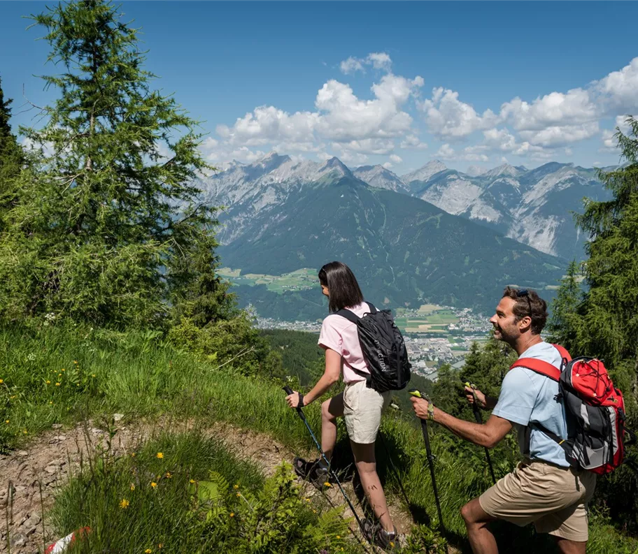
Wandern am Kellerjoch
+3

Pěší výlet a horská túra

Okružní túra po stezce Schutzwaldsteig u Kellerjochu

Střední

9,60 km

630 m

04:30 h

Střední

Trasa

9,60 km

630 m

04:30 h

1848 m

Výchozí bod

Parkoviště u lanovky Kellerjochbahn

Cílový bod

Parkoviště u lanovky Kellerjochbahn

Navazující infrastruktura

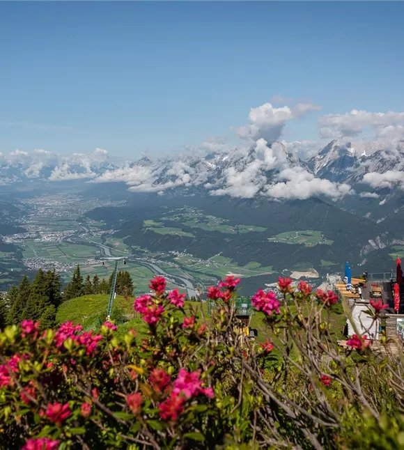
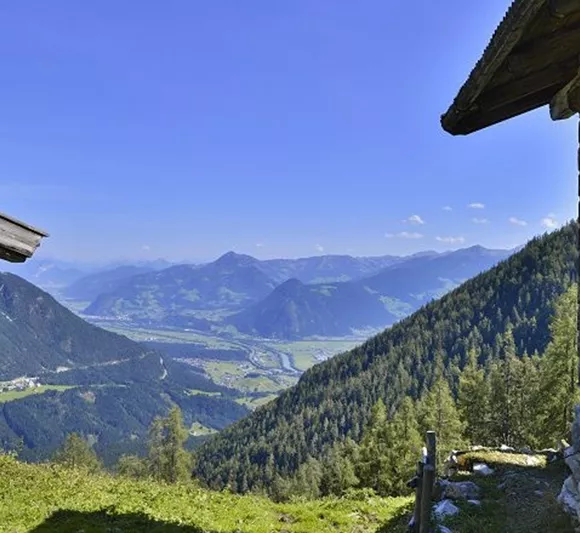
View from the Hecherhaus
+3

Horská restaurace Hecherhaus

Schwaz

Chata / horská restaurace

Gastronomie

+2

The Hecher house in theThe Hecherhaus, with its large sun terrace, is situated right next to the top station of the Kellerjochbahn and offers a stunning view over the Inn Valley and the Karwendel Mountains opposite.
Funivia del Kellerjoch
+3

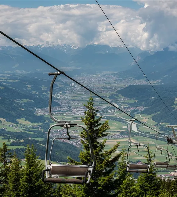
Lanovka Kellerjochbahn v létě

Pill

Cíl výletu

horská lanovka

+1

In summer, the Kellerjochbahn Lift whisks you up to almost 2,000 metres above sea level.
parkplatz-symbol-478x477_81883552.jpg

Parkoviště u lanovky Kellerjochbahn

Schwaz

Parkoviště

Proxenalm
+3

Proxn-Alm

Schwaz

Alm

Chata / horská restaurace

+1

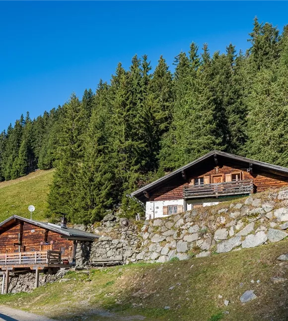
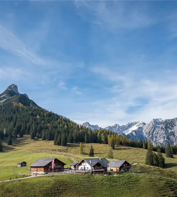
Quick, easy, local. The Proxenalm lies at an altitude of 1,663 m north of the Kellerjoch in the Tuxer Alps.

Další výlety

Ausblick Richtung Stanser Joch
+2

Cesta „Bürgermeistersteig“ od horské hospody „Alpengasthof Pirchnerast“ až k Grafenastu

An enjoyable walk high above Schwaz.

10,80 km

04:40 h

1448 m

625 m

621 m

Wanderstöcke

Pěší výlet z hradu Freundsberg do Grafenastu

A leisurely walk from Schwaz to the valley station of the Kellerjochbahn.

11,60 km

05:30 h

1410 m

750 m

Střední

Wanderstöcke

Pěší výlet z hradu Freundsberg do Grafenastu

A leisurely walk from Schwaz to the valley station of the Kellerjochbahn.

11,60 km

05:30 h

1410 m

750 m

Střední

Hinterlahn-Alm Hochleger.jpg

Nejprve strmý výstup, pak pohodová cesta z jedné horské chaty k druhé

Beautiful and not too challenging alpine tour

11,60 km

1615 m

1141 m

1128 m

171013_ichmachefotos.com_009.jpg

Umlberg – Ganalm – Walderalm

Nahoru k horské chatě Walderalm, přičemž po celou dobu máme na dohled pohoří Karwendel

15,80 km

06:00 h

1500 m

760 m

Střední

information boards
+2

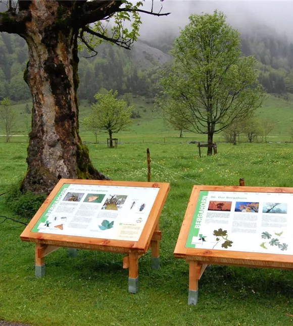
Naučná stezka Eng Alm

The impressive mountain panorama and the Großer Ahornboden natural monument provide the imposing backdrop for this trail, at the end of which lies the alpine village of Eng, where regional specialities can be sampled and purchased.

800,00 m

00:30 h

1225 m

20 m