Přejít na obsah
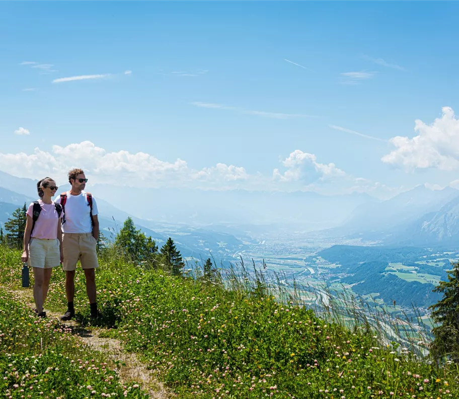
Wandern mit Blick ins Inntal
+5

Alpská turistika

Pěší výlet a horská túra

Túra k horské chatě a na alpskou pastvinu

Výstup na vrchol

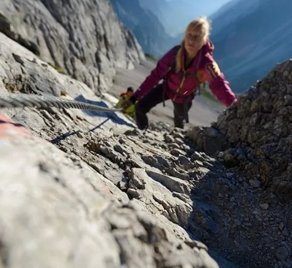
Okružní túra na Kellerjoch, nejkrásnější vyhlídkovou horu Tuxských Alp

Střední

14,40 km

955 m

06:50 h

Střední

Trasa

14,40 km

955 m

950 m

06:50 h

2234 m

Výchozí bod

Parkoviště u lanovky Kellerjochbahn

Cílový bod

Parkoviště u lanovky Kellerjochbahn
Dojmy

Navazující infrastruktura

original.jpg

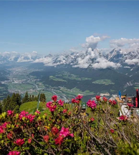
Výhled z Hecherhausu

Schwaz

Webová kamera

The webcam at the Hecherhaus shows the beautiful view over the Inn Valley towards Innsbruck.
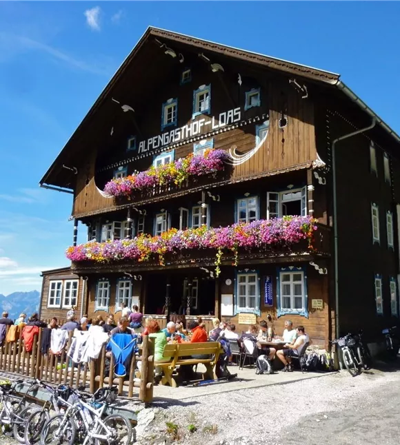
Alpský hostinec Loas
+3

Horská restaurace Alpengasthof Loas

Pill

Chata / horská restaurace

Hostinec

+1

The Alpengasthof Loas is situated in a particularly peaceful spot at an altitude of 1,680 metres, right in the heart of the alpine pastureland.
Ausblick vom Hecherhaus
+3

Horská restaurace Hecherhaus

Schwaz

Chata / horská restaurace

Gastronomie

+2

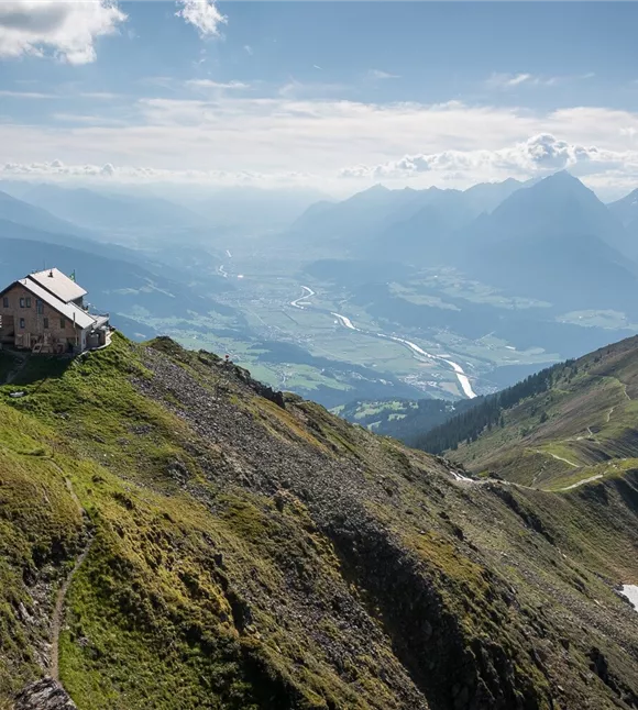
The Hecher house in theThe Hecherhaus, with its large sun terrace, is situated right next to the top station of the Kellerjochbahn and offers a stunning view over the Inn Valley and the Karwendel Mountains opposite.
Kellerjochbahn
+3

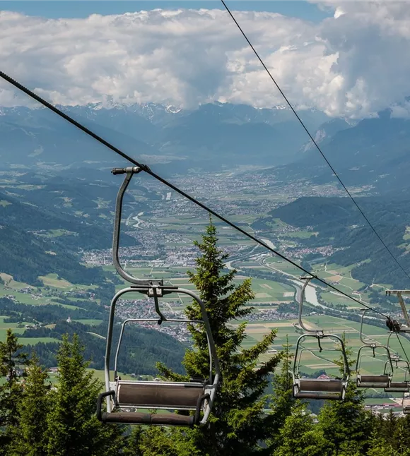
Lanovka Kellerjochbahn v létě

Pill

Cíl výletu

horská lanovka

+1

In summer, the Kellerjochbahn Lift whisks you up to almost 2,000 metres above sea level.
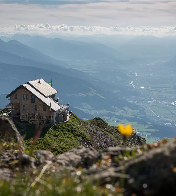
Chata Kellerjoch s výhledem do údolí řeky Inn
+3

Chata Kellerjoch

Schwaz

Alm

Chata / horská restaurace

+2

High above Schwaz at 2,237 metres: the Kellerjochhütte offers alpine hospitality, breathtaking views and culinary delights.
parkplatz-symbol-478x477.jpg

Parkoviště Hochpillberg (odbočka Loas)

Pill

Parkoviště

Další výlety

wehn_115498.jpg

Na Hochnissl

Very long, very steep and enormously beautiful. The basic requirements are surefootedness and a sense of orientation in the pathless scree.

6,10 km

2542 m

1682 m

Obtížný

wehn_115498.jpg

Na Hochnissl

Very long, very steep and enormously beautiful. The basic requirements are surefootedness and a sense of orientation in the pathless scree.

6,10 km

2542 m

1682 m

Obtížný

Ruine Rettenberg 01.JPG

Léčivé vody a zříceniny hradů

Částečně otevřená

Od Kolsassu k kapli Panny Marie Lurdské je to dobrý kilometr, odtud k zřícenině Rettenberg ještě asi 2 km. Kratší varianta 1 vede zpět k výchozímu bodu po dobré 4 km. Celková délka trasy je asi 7 km.

7,50 km

761 m

358 m

Ruine Rettenberg 01.JPG

Léčivé vody a zříceniny hradů

Částečně otevřená

Od Kolsassu k kapli Panny Marie Lurdské je to dobrý kilometr, odtud k zřícenině Rettenberg ještě asi 2 km. Kratší varianta 1 vede zpět k výchozímu bodu po dobré 4 km. Celková délka trasy je asi 7 km.

7,50 km

761 m

358 m

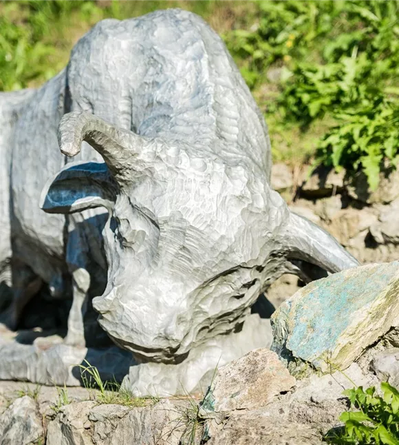
Býk u naleziště stříbra
+10

Schwazer Knappensteig

A journey through the mining industry of Schwaz.

2,60 km

01:00 h

682 m

120 m

115 m

Kellerjochhütte mit Ausblick ins Inntal
+3

Z Hecherhausu k chatě Kellerjochhütte

Scenic hike on Schwaz's local mountain.

4,20 km

02:20 h

2234 m

345 m

340 m

Střední